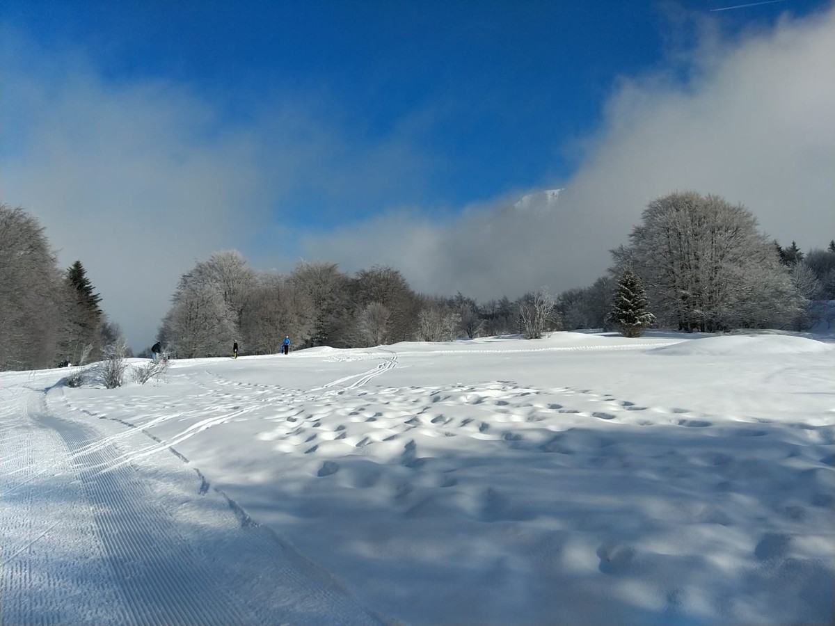
Snowshoeing orientation course

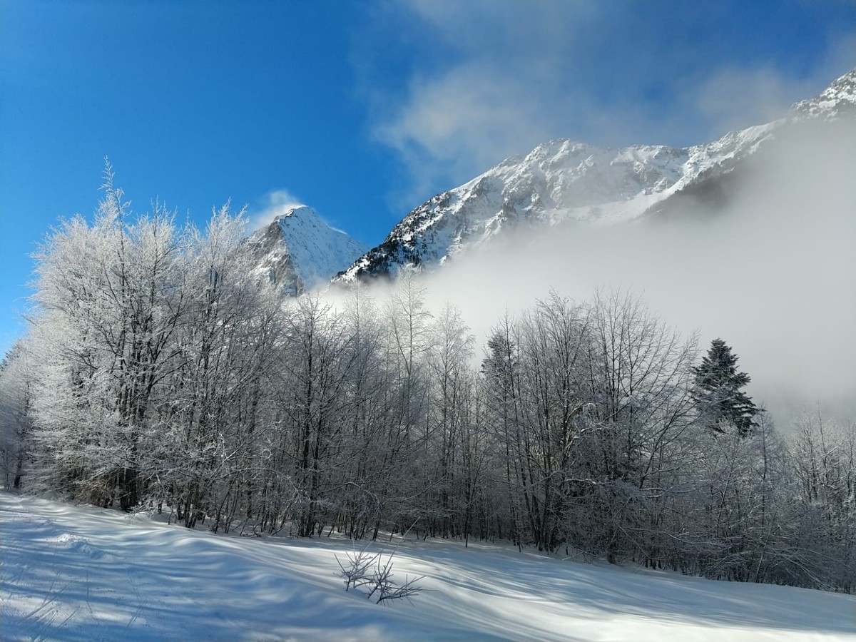
3 orientation routes, or 3 reasons to discover the magic of the Col d'Ornon forest in winter, one of the largest white alder groves in Europe.
And why not try the orientation course on snowshoes?
Read more Read less
A fun and attractive way for children (who must fulfill a mission of the highest importance!) And which allows them to discover the riches of the territory while walking on snowshoes.
The plateau of the Col d'Ornon, with a surface area of 2 km² and 100 m of vertical drop, has been equipped with 30 permanent markers making it possible to vary the courses winding through a typical alpine forest but which can proudly display that it is the largest Aulnaie Blanche in France, even in Europe (200 ha).
The principle: rally a certain number of points between which you are free to choose your route.
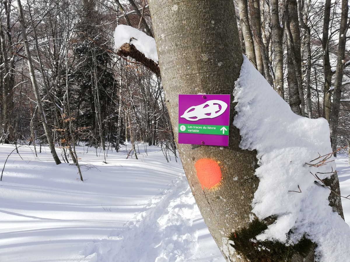
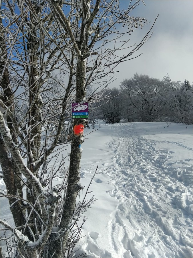
Material: a map and possibly a compass. Each control post is marked on the ground by a clearly visible terminal in which you will have to insert your control card. From discovery to sporty version, the possibilities are endless!
3 routes 3 reasons to discover the mountain in a fun way.
The beginners course (the easiest) is designed for families and people trying orienteering for the first time. The route is a walk with control points, featuring display boards providing information on the rich environment of Le Col d'Ornon, including animal life, plant life, geology (the famous Chantelouve fault), natural risks, agriculture, animal herding and local architecture. In addition, there are some riddles to get you thinking, adding some fun to the walk.
The course for children, a route associated with a fun questionnaire to fill with the panels at the terminals.
The course for adults, a "sporty" course, to combine play and physical activity. It is advisable to be comfortable with reading a map to go further and find the 12 markers.
Matériel : une carte et éventuellement une boussole.
Chaque poste de contrôle est matérialisé sur le terrain par une borne bien visible dans laquelle vous devrez insérer votre carton de contrôle. De la découverte à la version sportive, les possibilités sont multiples !


Rates
Free of charge.
Opening periods
All year round.
Equipments and characteristics
- Pets refused
Access
Point de départ devant le gîte Le Chantelouve
- Latitude: 45.011125
- longitude: 5.968224
Environnement
- Mountain location
- Bottom of slopes
- Forest location
- Mountain view
Track characteristics
- Distance:
- 2 km
- Level:
- For beginners / novice
- Type:
- Loop
