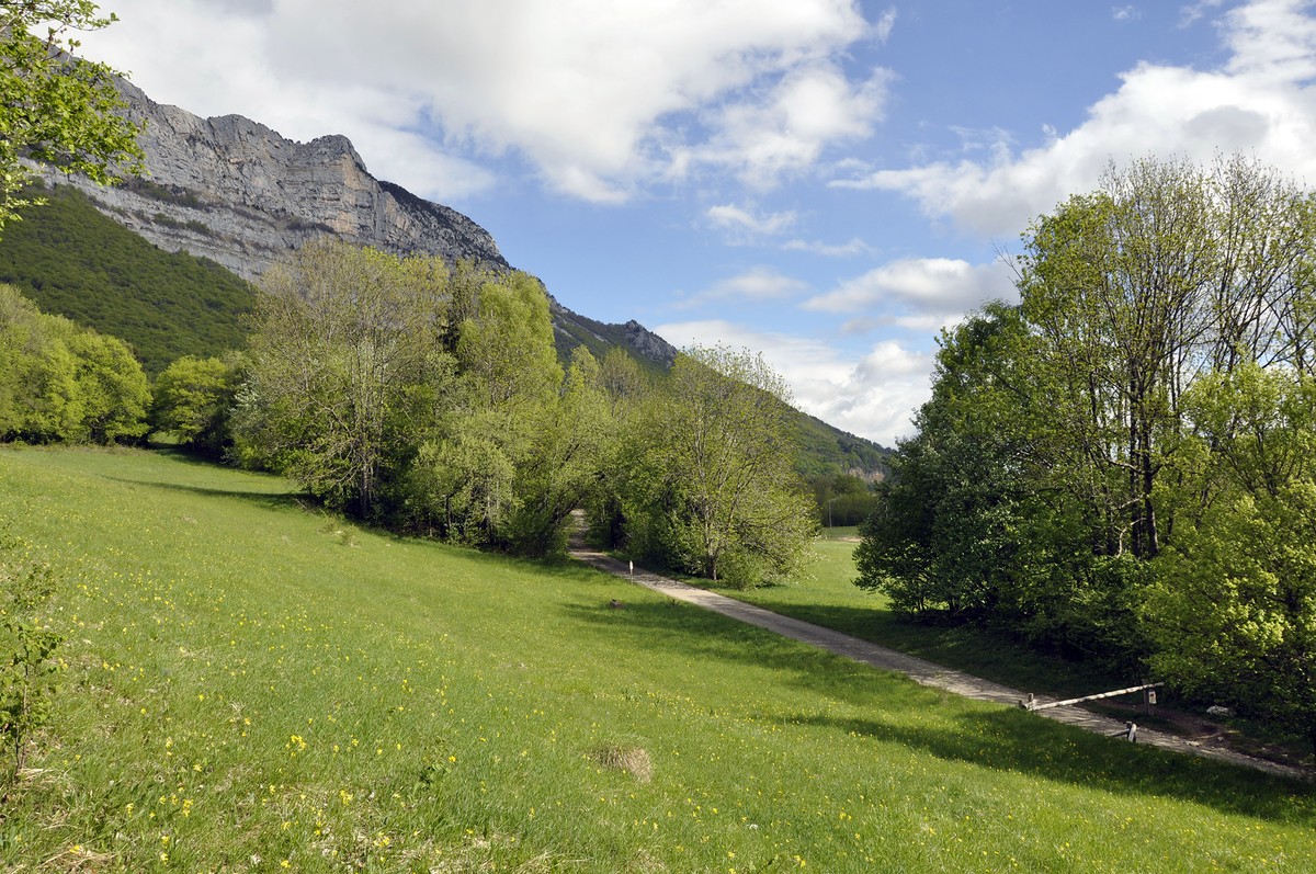
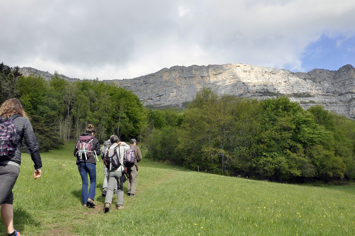
Hiking between Claix and Le Peuil
At the sight of the cliffs of the Vercors which dominate Claix, the tone is given. The 700 m difference in altitude to reach the Peuil plateau will leave some traces of fatigue. But what a pleasure to discover the stream of Pissarde and to appreciate its freshness
Read more Read less
The departure is fixed at the sign Claix village, above the town hall square. From there, go up by the road in the direction of Allières. Then go through the narrow streets of the old Claix village and cross the place called La Croix. In Allières turn right towards La pissarde. The dead end leads to a path that leads to the path of La Pissarde a few hundred meters further on, on the left. At the intersection with the road at the Savoyères sign, continue on the path on the left towards Le Peuil. From the place called Le Peuil, go on a track to join a path with a more pronounced difference in level. Stay on the marked path following the direction of Cossey. At the hamlet of Le Gampas, take the path on the right to go down to Cossey, the oldest hamlet in Claix. At the stream "le Rif" turn right. Admire the beautiful view of the Alps and the sun warming this slope, the smell of pine trees can remind you of Provence. After crossing this place, the path leads to Bouveyres. Then pass through the hamlet of Penatière before turning right to reach Cossey and its historic chapel. From there, turn right towards Les Cimentiers. The first road on the left leads to the crossroads of the departmental road 106, turn right for a few meters to find the path of Cimentiers on the left. At the intersection, turn right towards Les Cimentiers. The path then goes along the edge of the wooded area of the Comboire rock. Cross the footbridge of Cimentiers and continue straight ahead to reach the hamlet of La Balme. Then turn right to join a road that leads back to Claix through Les Perrouses.
NATURAL HERITAGE : THE PEUIL PEAT BOG
The Peuil peat bog, with a surface area of 57 ha, is a unique and original site in the Vercors, as the karstic nature of the massif does not generally favor this type of environment. It is one of the rare wetlands of this massif and constitutes a precious ecosystem to preserve absolutely. It presents an indisputable landscape attraction due to its situation on the cliff side but also an important specific richness, characteristic of peaty environments. The floristic richness is most remarkable with not less than 219 species listed
ACCÈS BUS : bus 21 arrêt “Col de Comboire“

-
Hiking between Claix and Le Peuil
mairie de Claix
38640 CLAIX
Route
- Languages: Fr
Rates
Free access.
Opening periods
All year round.
Equipments and characteristics
- Pets allowed
Access
ACCÈS BUS : bus 21 arrêt “Mairie de Claix“
- Latitude: 45.119944
- longitude: 5.672925
Environnement
- Close to a public transportation
Track characteristics
- Distance:
- 16 km
- Positive level difference:
- 870 m
- Daily duration:
- 6h 30min
- Level:
- Level green – easy
- Type:
- Loop
