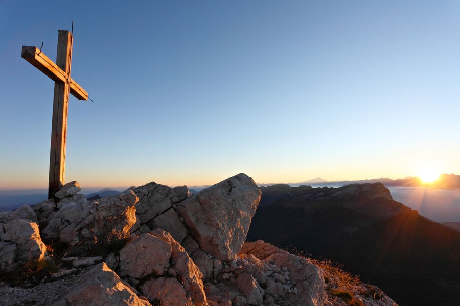
Loop of Chamechaude
Suitable for experienced walkers only, this loop up to the peak of the Chartreuse mountains is an alternative to the simple path to and from the Col de Porte.
Read more Read less
In the hamlet of La Charmette (1), follow the red and white signs of the GR9 to the Habert of Chamechaude. At Les Jailleres, go straight ahead. At Le Bruchet, keep following the GR9 to the Habert of Chamechaude. Once you have reached the habert, take left (2). At the cabane de Bachasson (3) (only watering place on this itinerary) follow Chamechaude until you reach the top (4). There, enjoy the amazing view! Go back on yourself to the cabane de Bachasson. At the cabane, go down on the right and follow Col de Porte. At the col (5), take the yellow and red marked path on the left (GR de Pays) to Le Sappey-Église. When the forest track meets the road, take it for about 30 meters and go down on the right on the Chemin des Chartreux (yellow signs). At the last junction, keep following Le Sappey-Église to get back at the car park (6).
-
Loop of Chamechaude
38700 LE SAPPEY-EN-CHARTREUSE
Route
- Languages: Fr
Rates
Free of charge.
Opening periods
From 01/05 to 30/11.
Equipments and characteristics
- Pets refused
Access
Accès en transport en commun (depuis Grenoble) : Bus T62 (TAG) / Arrêt Col de Porte
- Latitude: 45.258000
- longitude: 5.778600
Environnement
- Close to a public transportation
- Bus stop < 500 m
Track characteristics
- Distance:
- 16 km
- Positive level difference:
- 1330 m
- Daily duration:
- 5h
- Level:
- Level black - very hard
- Type:
- Loop
See also
-
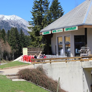
Restaurant Cartusia
View more

