Chamechaude - Summit
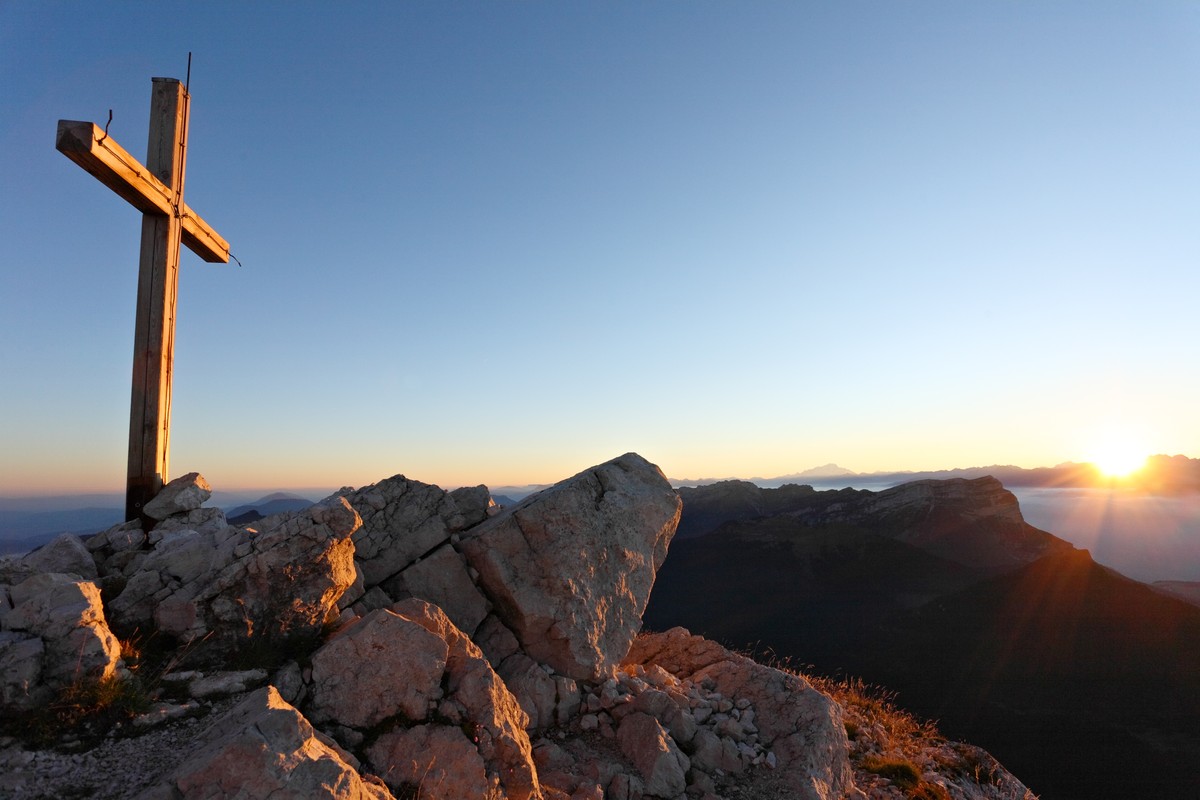
Chamechaude is the highest peak of the Chartreuse massif (2082m). Privileged place for all those who like the difference in height. It offers an exceptional panorama.
Read more Read less
Leaving from the Col de Porte car park, head towards the backyard fireplace and follow the direction "Cabane de Bachasson". The trail first runs along the meadow and then quickly branches off into the forest to the hut.
From there, continue to the left in the direction of La Folatière and up to the summit. On both the ascent and descent, stay on the "S" shaped path to minimize erosion. The descent is made by the same route.
To return and avoid a round trip on the same route, extend the hike by returning to the Bachasson hut and continue towards Pré Boiteux and up to Habert de Chamechaude.
Take the GR9 towards Sappey en Chartreuse. In Montjalat, join the Churut then the Reservoir. Follow the GRP "Traversée de Chartreuse" which goes up to the Col de Porte.
To see / to do near the route:
- Little Gardeners (5km from the start): cultivation of medicinal plants.
- Museum of Contemporary Sacred Art (8km from the start): Church of St Hugues.
- Museum of the Grande Chartreuse (10km from the start): audio-guided visit
- Fort du St-Eynard (10km from the start): visit of the fort and exceptional panorama.
All the information and other ideas for visits on chartreuse-tourisme.com/rsf
Information / security:
- you should adopt a few rules and follow a few tips to fully enjoy your walks and hikes in complete safety! Before leaving, follow our recommendations and advice on chartreuse-tourisme.com/conseils-rando-trail (or on request at the tourist offices).
- Note: the mountain guide is a specialist in mountain fauna and flora, off-trail hikes away from the crowds, local history, alpine and peasant traditions, etc. safely ! Call on them! Detailed list on chartreuse-tourisme.com/accomp (or in tourist offices).
- You hike under your sole responsibility. Chartreuse Tourisme and the tourist offices cannot be held responsible for the proposed itineraries.
Useful numbers :
- Weather forecast (must be consulted before your departure): 3250 or www.meteo.fr
- Mountain rescue: 112
Rates
Free of charge.
Opening periods
From 01/05 to 30/11.
Subject to favorable weather.
Equipments and characteristics
- Pets refused
Access
Accès en transport en commun (depuis Grenoble) : ligne Flexo 62 arrêt “Col de Porte“
- Latitude: 45.289754
- longitude: 5.767091
Environnement
- Close to a public transportation
- Bus stop < 500 m
Track characteristics
- Distance:
- 7 km
- Positive level difference:
- 750 m
- Daily duration:
- 5h
- Level:
- Level red – hard
- Type:
- Round-trip
