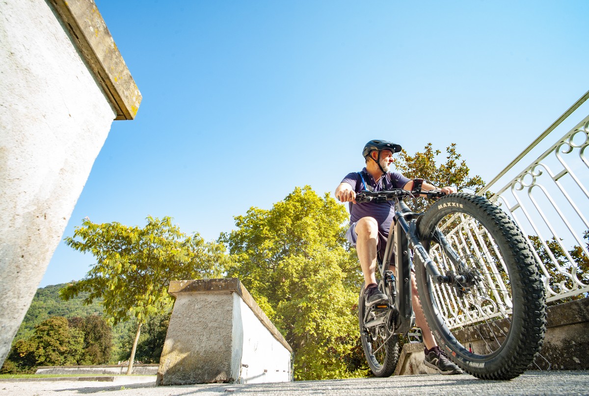
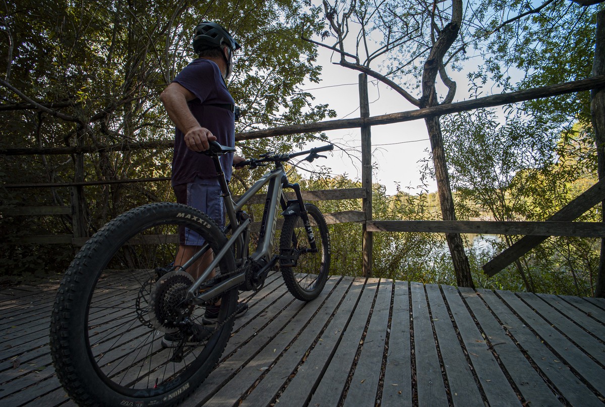
Boucle vélo de Jarrie
A beautiful loop around Jarrie is ideal for a half-day excursion. You'll have plenty of time to put your feet up and explore the many points of interest scattered along your route.
Read more Read less
Just a handful of minutes from the hustle and bustle of Grenoble city center and the surrounding towns, the Bresson golf course parking lot, the starting point for this course, nestles in a veritable island of greenery.
The route alternates between slopes and steep inclines, and is mostly on little-traveled roads. These are sometimes surrounded by footpaths, which you can use if you have an adapted bike. Some of the busier sections will require a little more vigilance.
1 From the parking lot, head up the access road to the golf course, then turn right and carefully merge onto the D112, which takes you naturally into the center of Haute-Jarrie.
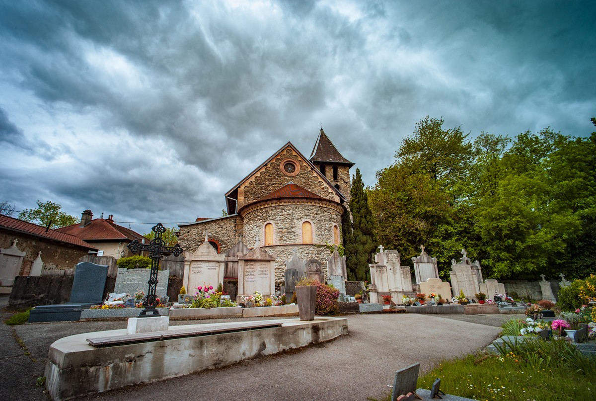
2 Turn left onto the Route de la Croix for 550m, then continue on the Route de l'Église, the first curve of which houses the Church of Saint-Étienne.
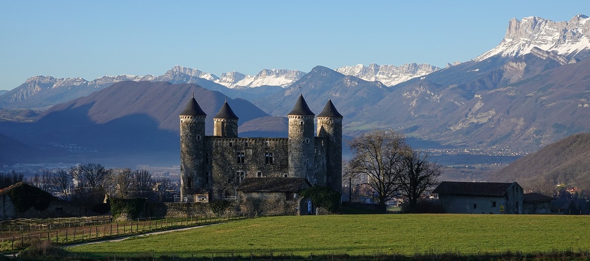
3 Turn left and continue downhill on route de Bon Repos, from which you can see the château of the same name. Continue downhill on route de la Combe.
4 Continue straight on, rue Marcel Paul, and take avenue Général Delestraint which, after a sharp right-hand bend, becomes route de la Tour d'Avalon.
5 Turn right onto Montée de la Creuse. 100m further on, on your right, is the Clos Jouvin. Continue uphill on route de l'Hormet.
6 Climb the Route de Pontenin hill for 600m and continue on Route des Thevenets. Then continue on the route du Plâtre, which borders the regional nature reserve of the Etang de Haute-Jarrie.
7 Take care as you turn right onto the D64, which offers a fine descent where you need to keep to the right on this busy road.
8 At the traffic circle, take the first exit on your right, rue de Stalingrad, for 450m, then continue in the right-hand lane, avenue de la République.
9 Turn right into rue de la Maritelle, then into the first lane on the left, chemin de Lagay.
10 Turn right onto the D269C, avenue de Bresson which, 250m further on, becomes rue de la Liberté then rue de la République.
11 Turn left onto Grand-Rue, which takes you out of the last 300m of residential area. Turn left onto rue de Montavie to return to your starting point.


-
Boucle vélo de Jarrie
Parking Golf Bluegreen de Bresson
Chemin de Montavit
38320 BRESSON
Route
- Languages: Fr
Rates
Free access.
Opening periods
All year round.
Subject to favorable weather.
Equipments and characteristics
- Pets allowed
- Parking
Track characteristics
- Distance:
- 19 km
- Positive level difference:
- 345 m
- Daily duration:
- 2h
- Level:
- Level bue - Medium
- Type:
- Loop


