Boucle vélo du Néron
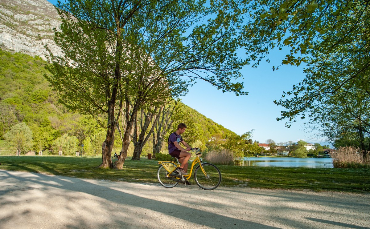
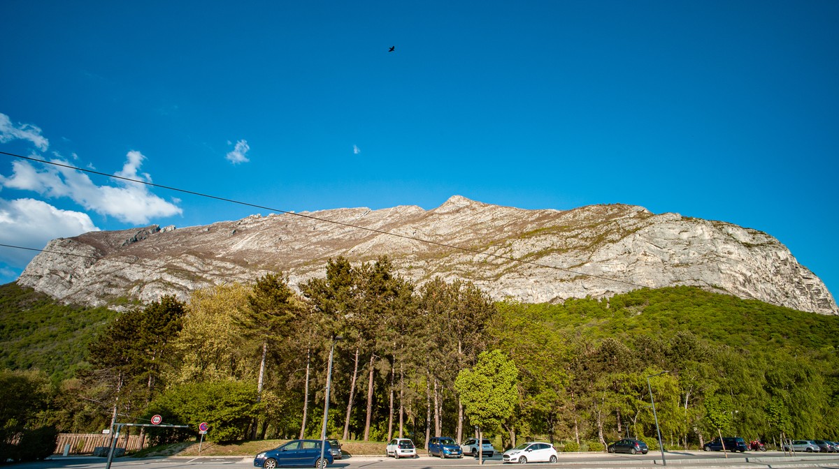
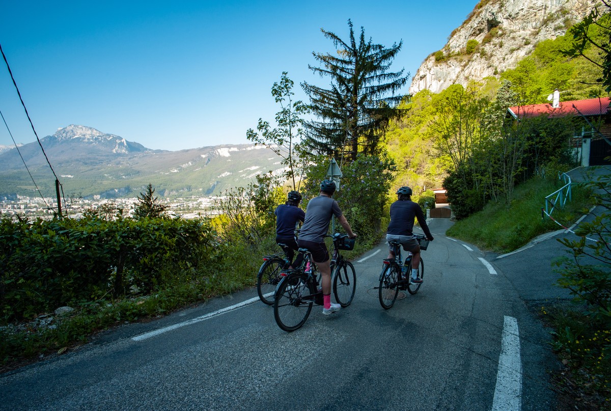
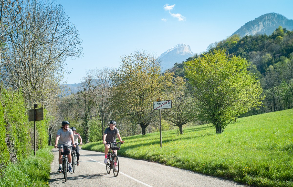
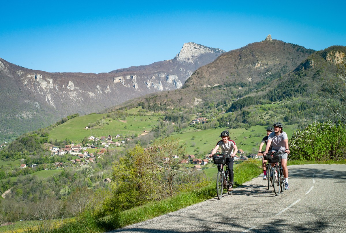
The Tour du Néron offers sublime panoramas of the Chartreuse massif on the way up, and of the Grenoble basin and the Belledonne massif on the way down.
Read more Read less
Close to Porte de France and the city center, the boulevard de l'Esplanade, where your route begins, is equipped with parking spaces and is easily accessible by bike or streetcar E.
The first 5km of your route are fairly gentle, with a moderate gradient. The next 10km require good effort management and strong legs! Once you've passed the Col de Clémencières, you're off like the wind on a beautiful, curving 7km descent. With over 500 m of vertical drop, including one section at over 10%, this loop is for experienced cyclists only.
From the parking lot, head north on Boulevard de l'Esplanade, then turn left onto Route de Lyon, using the cycle lane on the right-hand side of the road. Then follow the cycle path along the tramway tracks on the right.
After passing the Saint-Martin-le-Vinoux town hall, continue in the direction of travel on the cycle lane on avenue du Général Leclerc (D1075).
At the traffic lights, turn right onto rue du 26mai 1944. 580m further on, turn right again onto the cycle lane on avenue du Général Leclerc (D1075), which becomes route de Grenoble as you enter Saint-Égrève.
Turn right onto rue du Muret. At the next traffic circle, continue along this road, taking the third exit on your left. 200m further on, as you pass the sports fields on your right, the road changes name to rue des Brieux.
Turn left into rue de Champy, cross the Vence river, then take the hill (over 10%) to route de Quaix (D105 then D105A), which becomes route de Saint-Égrève.
Take the two-way cycle lane* on Chemin du Coléon on your right. 230m further on, rejoin the D105A, now route de Clémencières.
Continue your ascent on the route de Clémencières, which bends to the left. At the cease-and-desist sign, leave the D105A and take the D57 on your right, heading for Col de Clémencières.T
urn right onto Route de Narbonne.
Leave the route de Narbonne for a few moments, as it curves over 210m. Then return to the route de Narbonne, which offers almost 4km of pure descent.
Turn left onto rue de la Résistance, which becomes route de Lyon.
Turn right to reach the esplanade parking lot, your starting point.


-
Boucle vélo du Néron
Parking Boulevard de l’Esplanade
38000 GRENOBLE
Route
- Languages: Fr
Rates
Free access.
Opening periods
All year round.
Subject to favorable weather.
Equipments and characteristics
- Pets allowed
- Parking
Track characteristics
- Distance:
- 22 km
- Positive level difference:
- 522 m
- Daily duration:
- 2h 30min
- Level:
- Level red – hard
- Type:
- Loop


