Boucle vélo Vizille et la Romanche
A loop starting from Place du Château to discover the banks of the Romanche, a dyked mountain torrent.
Read more Read less
After the walk, enjoy an ice cream at the foot of the Domaine de Vizille château or in the shade of the park's tall trees.
Numerous free parking lots are available close to your starting point (including the Château car park), which is also accessible by public transport (lines 23, 65, 70 and 3000). The shady square has public toilets and is surrounded by shops.
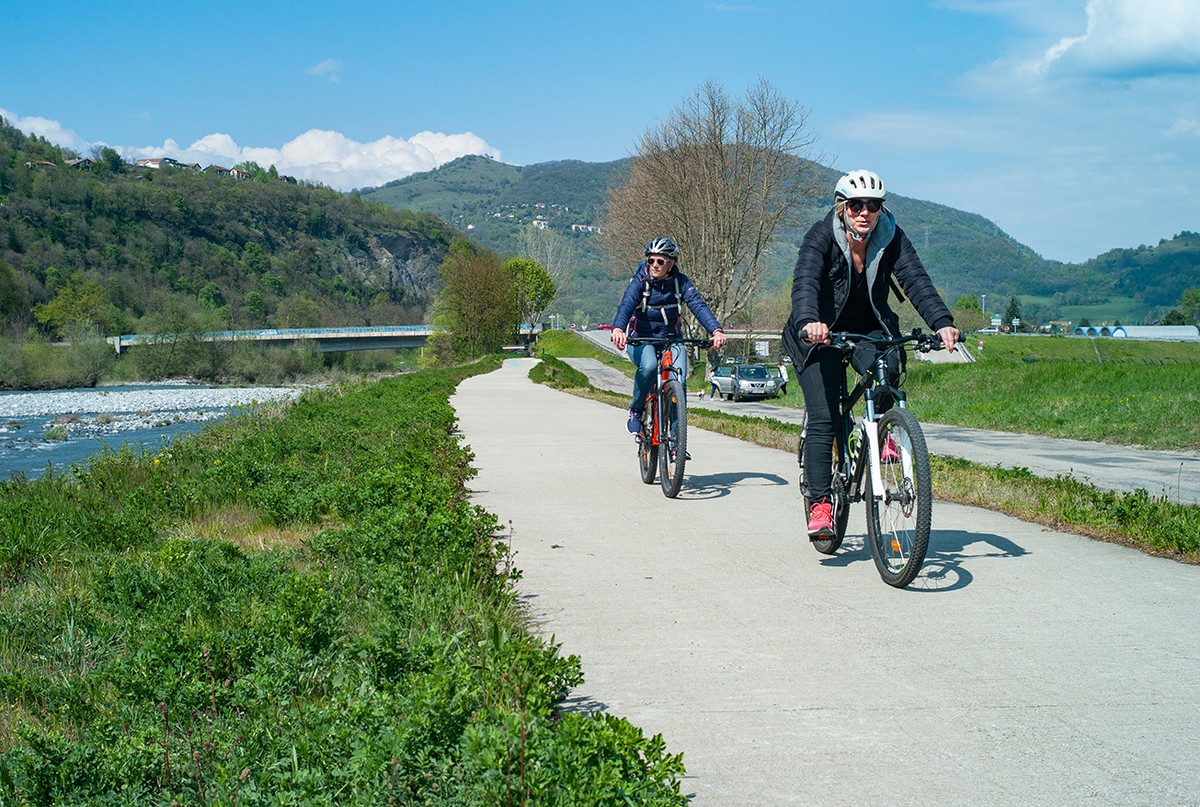
After leaving behind a somewhat busy stretch, the route quickly takes you through quiet streets to the banks of the Romanche, where you can walk in complete safety. Once you've crossed the river, the route offers you a short but steep climb, followed by a gentle descent back to your starting point.
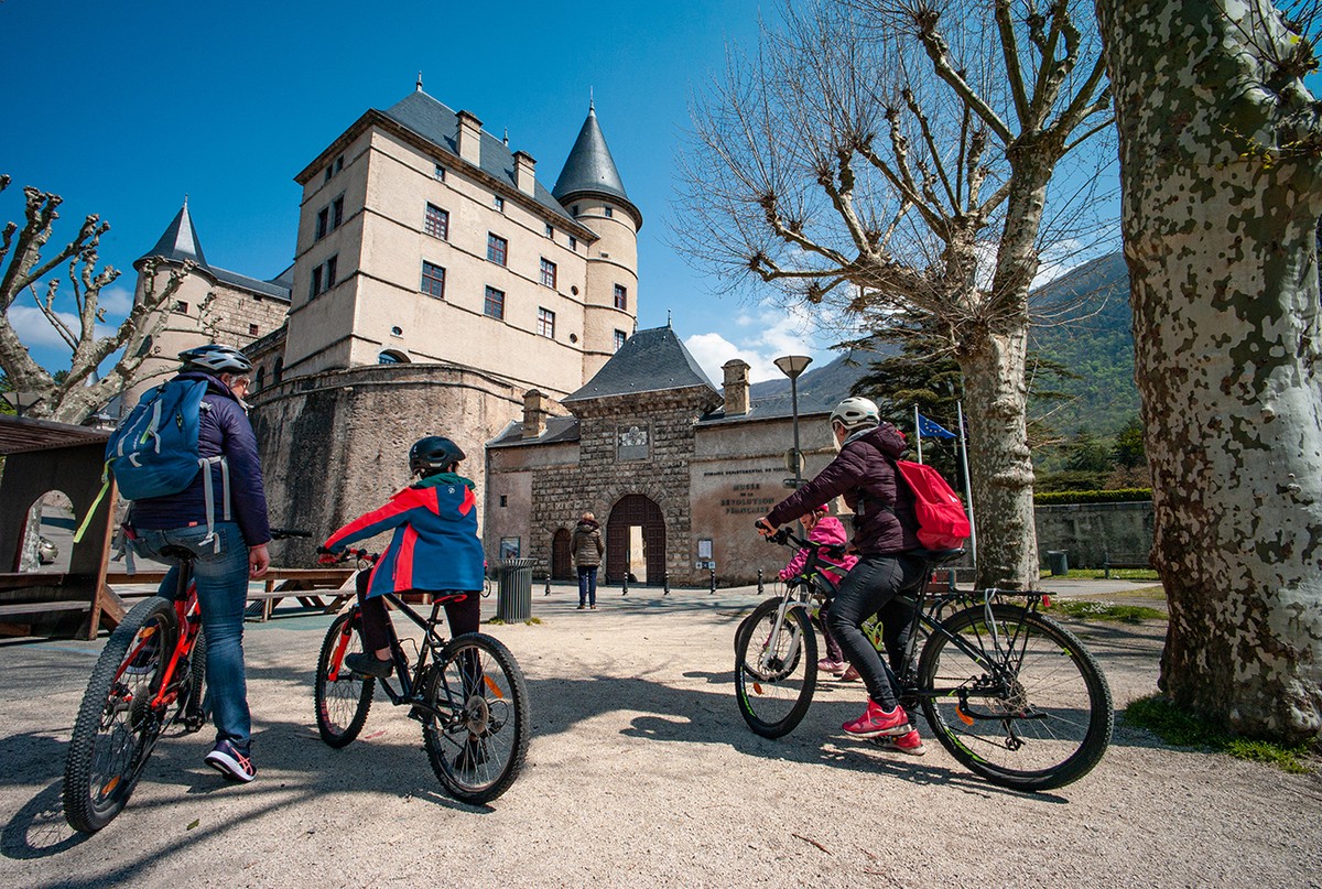
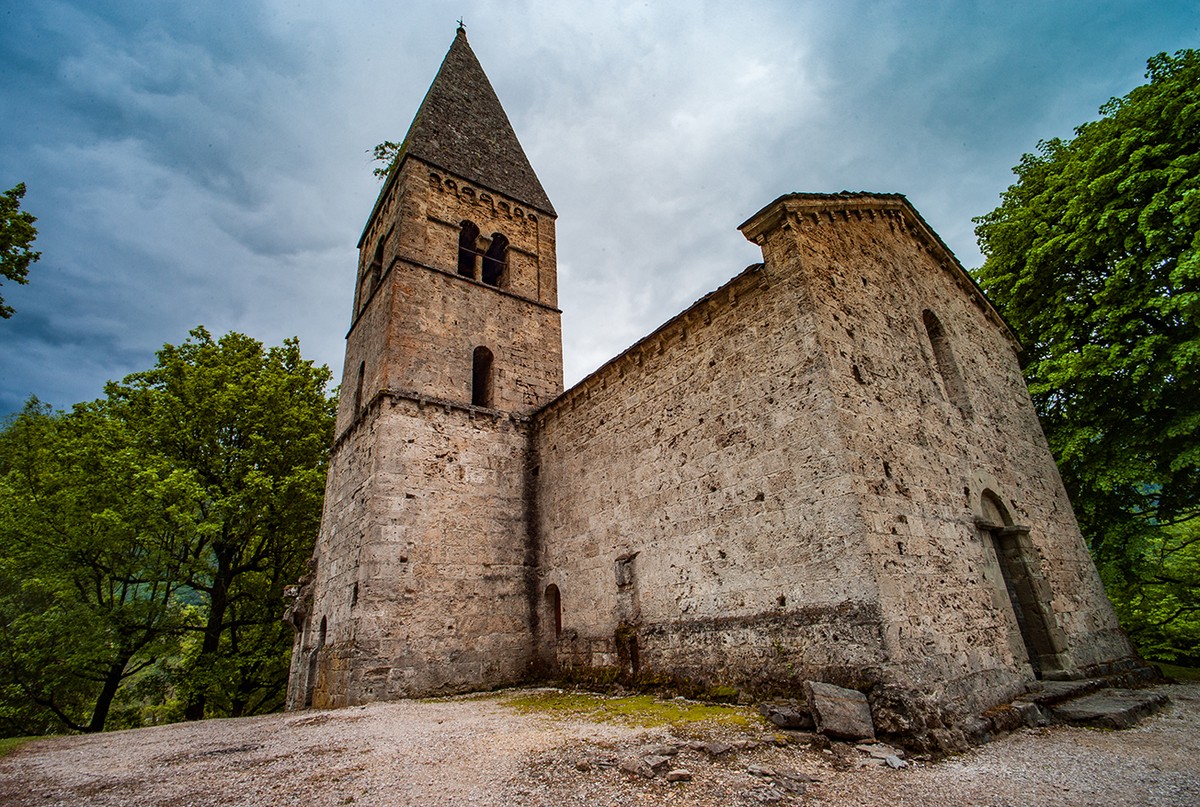
At the start of your tour, or to conclude it, don't hesitate to stroll through the sublime grounds of the Domaine de Vizille. The Museum of the French Revolution, housed in the château itself, offers you a new perspective on this pivotal period in French history. Then discover the Romanche river from one bank to the other, and why not add a little excursion to the Saint-Firmin chapel.
1 From Place du Château, take Rue Jean Jaurès (D524), which runs east for 30m, then Avenue Aristide Briand, which opens out slightly to the left.
2 Turn right into rue François Peyron, then 100m further on, turn left into avenue Victor Hugo.
3 Turn right into rue Anatole France. At the small roundabout, continue on avenue Paul Eluard. At the next junction, take Avenue Pasteur (D101A) to the banks of the Romanche.
4 After crossing the D1091, turn left as if you wanted to rejoin the D1091 in the direction of Bourg d'Oisans. However, 100m further on, take the right-hand tangent before rejoining the main road, and continue along the chemin de la digue. This takes you along the Romanche for 1.5km.
5 Cross the Mésage bridge to join Rue du Pont, which veers right across the river.
6 Turn left onto route du Connex for a short but steep climb, then right at the second junction onto rue des Durands.
7 Turn right onto the Chambord housing estate, then left onto rue de la Touche. 8 Continue downhill to the right onto route de la Commanderie. Pass the equestrian center and, at the end of a sharp curve, turn left onto chemin des Templiers.
9 At the end of the housing estate, carefully turn left onto the D101A. 80m further on, before the bridge, turn left onto rue du Moulin. 260m further on, at the crossroads, continue straight ahead on the two-way cycle track* Chemin des Plâtrières.
10 Turn right onto the N85, which will take you back over the Romanche river. 300m further on, continue straight ahead on the D524, which will take you back to your starting point.

-
Boucle vélo Vizille et la Romanche
Place du Château
38220 VIZILLE
Route
- Languages: Fr
Rates
Free access.
Opening periods
All year round.
Subject to favorable weather.
Equipments and characteristics
- Pets allowed
- Parking
Access
Public transport (lines 23, 65, 70 and 3000)
- Latitude: 45.074990
- longitude: 5.772516
Environnement
- In the country
- Town location
- In centre of town
- Riverside
Track characteristics
- Distance:
- 7 km
- Positive level difference:
- 77 m
- Daily duration:
- 50min
- Level:
- Level green – easy
- Type:
- Loop


