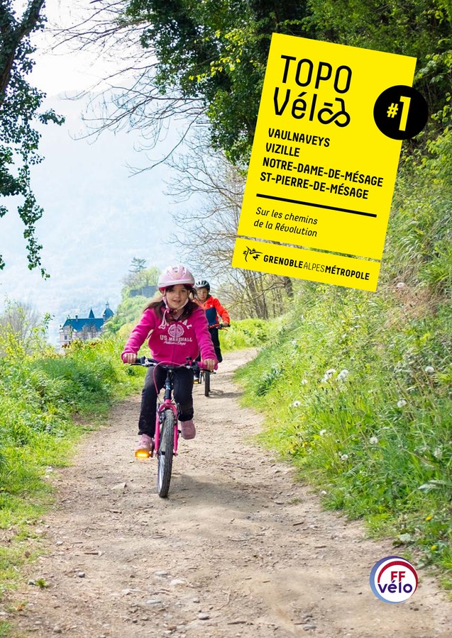
Boucle vélo Vizille Vaulnaveys
A beautiful loop in the heart of the two valleys that meet at Vizille.
Read more Read less
Numerous free parking lots are available close to your starting point (including the Château car park), which is also accessible by public transport (lines 23, 65, 70 and 3000). The shady square has public toilets and is surrounded by shops.
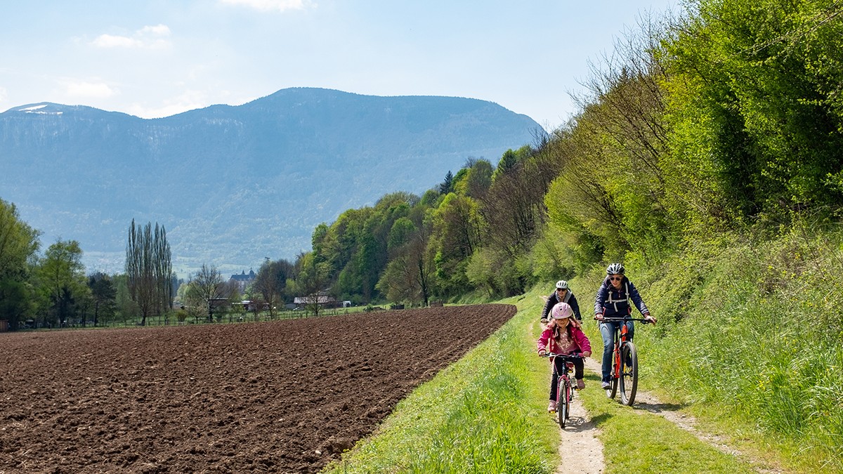
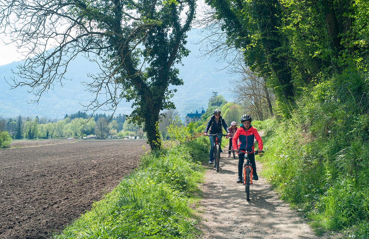
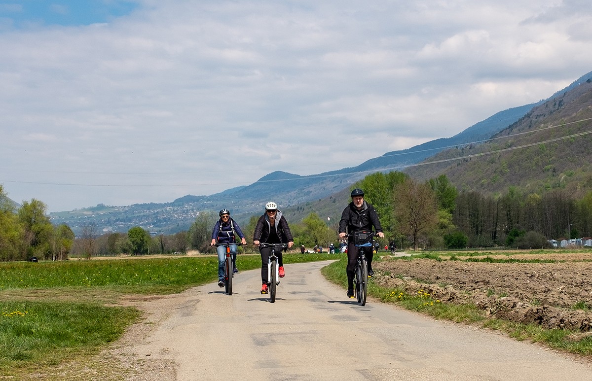
After leaving the center of Vizille through the small tunnel on the Route d'Uriage, a section that requires a certain amount of vigilance, you set off on little-traveled roads in the direction of Vaulnaveys. On the way back, you'll take mostly well-maintained paths, with no major difficulties, through undergrowth, fields and meadows.
At the start or end of your tour, take advantage of all the amenities offered by the Domaine de Vizille, its park, château and museum. Most of your walk then takes place in the countryside, discovering the villages of Vaulnaveys-le-Bas and Vaulnaveys-le-Haut, whose church, with its listed high altar, will catch your eye. Before reaching your starting point, you'll pass through the Château de Paille, the historic center of Vizille.
1 From Place du Château, turn right onto the D254, which crosses Place de la Libération before becoming Rue du Général de Gaulle. 110m further on, continue on the D254 which becomes route d'Uriage, bending 90° to the right.
2 A little further on, after the tunnel, turn left onto chemin Cavard towards Le Plan. 470m further on, start climbing gently up the Chemin du Plan to the right.
3 Be careful as you cross the Route d'Uriage (D524) on your right. Continue on the Chemin de Vaulnaveys, which turns left after the small bridge and will be known as the Promenade des Noyers 200m further on.
4 In Vaulnaveys-le-Bas, continue straight ahead on the Promenade de la Mondée. 650m further on, just after passing the allée des Verness on your left, take the Chemin des Meynards (unpaved), which turns right and joins the Route des Frettes.
5 Continue on the route du Pont-Neuf, which rises in front of you to the left. 320m further on, in Vaulnaveys-le-Haut, continue straight ahead on chemin de la Croix de Maître.
6 Turn left on Chemin des Chartreux for 40m, then right on Chemin du Clos. At the third intersection, 480m further on, turn right onto chemin du Marais.
7 Continue on Chemin des Perrières, turning right. 80m further on, turn left onto Chemin du Lavoir. After passing impasse du Manège on your right, take chemin des Guichards on your right to reach avenue du Golf (D111), which you reach by turning left.
8 At the traffic circle, take the third exit on your left, avenue d'Uriage (D524). 500m further on, turn right onto chemin des Bargeonniers, which becomes chemin de Fromental, then promenade de la Lavée.
9 Leave the road for the path that runs through the fields. It joins Chemin des Charriers, which becomes a path under the vines, leading to Rue du Château du Roi, then Rue Malpertuis, and finally Place du Château.
-
Boucle vélo Vizille Vaulnaveys
Place du Château
38220 VIZILLE
Route
- Languages: Fr
Rates
Free access.
Opening periods
All year round.
Subject to favorable weather.
Equipments and characteristics
- Pets allowed
- Parking
Access
Transports en commun (lignes 23, 65, 70 et 3000)
- Latitude: 45.074990
- longitude: 5.772516
Environnement
- In the country
- Riverside
- Close to a motorway
- Lake 5 km away
Track characteristics
- Distance:
- 16 km
- Positive level difference:
- 177 m
- Daily duration:
- 1h 45min
- Level:
- Level bue - Medium
- Type:
- Loop


