Charmant Som - Peak

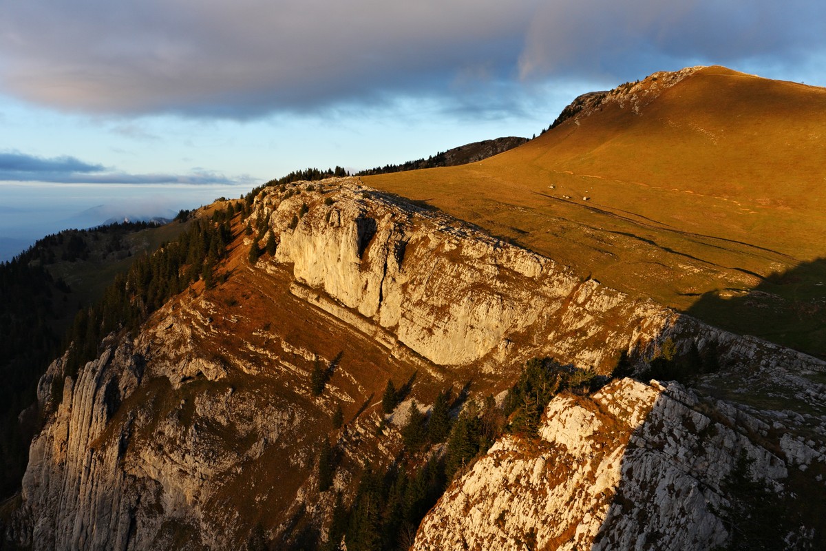
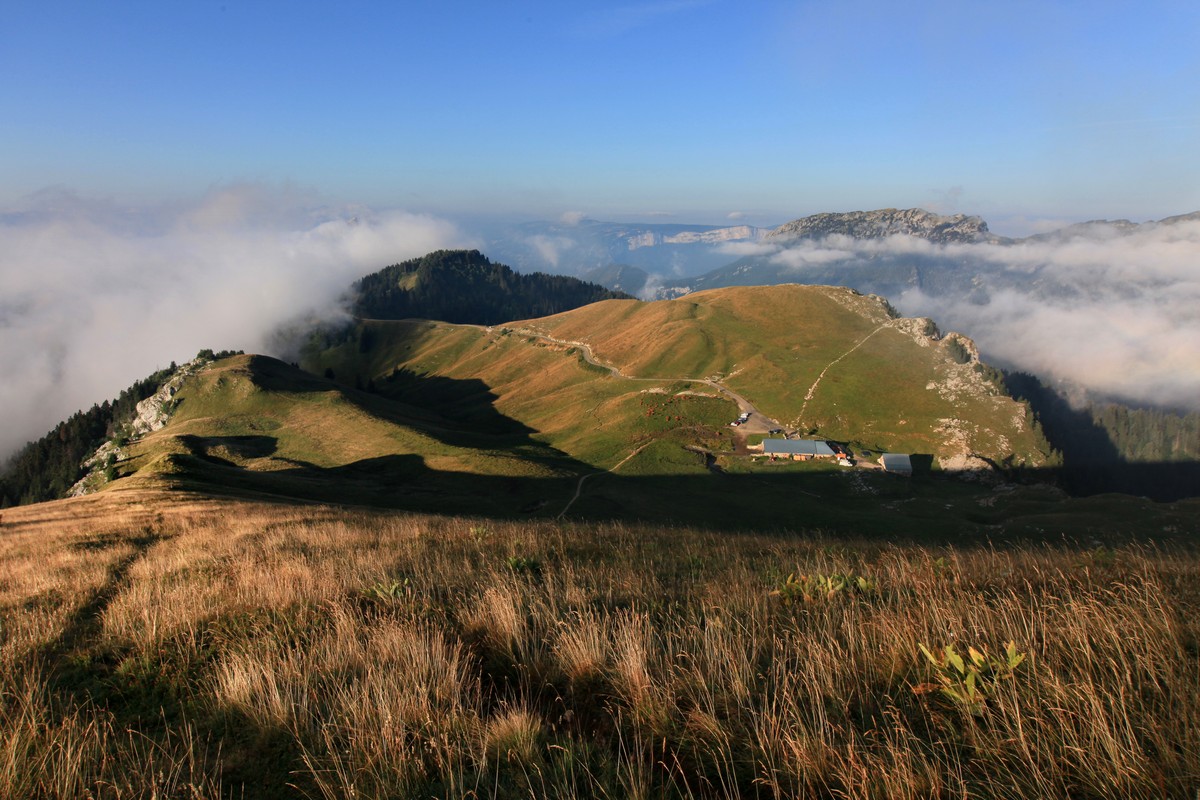
The Charmant Som (1867m) is one of the three peaks that tower over St Pierre de Chartreuse, but it is the most accessible, especially for familIes, and there is a stunning view from the top.
Read more Read less
The Charmant Som is also the most easily accessible peak (see alternative) and the last Alpine pasture in Isère that still producces and sells its cheese on site. From the lodge car park, take the 'Grande Randonnée' path (French Hiking Route) through the pasture. Before you reach the other slope, turn left onto the ridge until you reach the summit cross (follow the paths made by previous hikers).
The descent follows the same route in reverse.
Things to see / do in the vicinity of the route:
- Petits Jardiniers (10km from the starting point): medicinal plant farm.
- Fleurs de Lyne (15km from the starting point): artisanal soap factory.
- Museé de la Grande Chartreuse (16km from the starting point): audio tour.
For more information and suggestions of things to see, visit chartreuse-tourisme.com/rsf
Information / Safety:
- You should follow a few rules and tips to be able to enjoy your walks and hikes in complete safety! Before you set off, visit chartreuse-tourisme.com/conseils-rando-trail to read our recommendations and tips (or ask at one of the tourist offices).
- Note: mountain guides have specialist knowledge of the flora and fauna found in the mountains, hikes off the beaten path and away from the crowds, local history, Alpine and rural traditions, and mountain safety! Make use of them! A list with their details can be found on chartreuse-tourisme.com/accomp (and in the tourist offices).
- You hike at your own risk. Chartreuse Tourisme and the tourist offices cannot be held liable for suggested routes.
Useful Phone Numbers:
- Weather (must be consulted before you set off): 3250 and www.meteo.fr
- Mountain rescue: 112
Rates
Free access.
Opening periods
From 01/05 to 30/11.
Subject to favorable weather.
Equipments and characteristics
- Pets refused
Access
Parking au pied de l'alpage et de l'auberge.
- Latitude: 45.319318
- longitude: 5.756571
Track characteristics
- Distance:
- 2 km
- Positive level difference:
- 200 m
- Daily duration:
- 1h 30min
- Level:
- Level green – easy
- Type:
- Round-trip
