From Fontanil to Mont-Saint-Martin
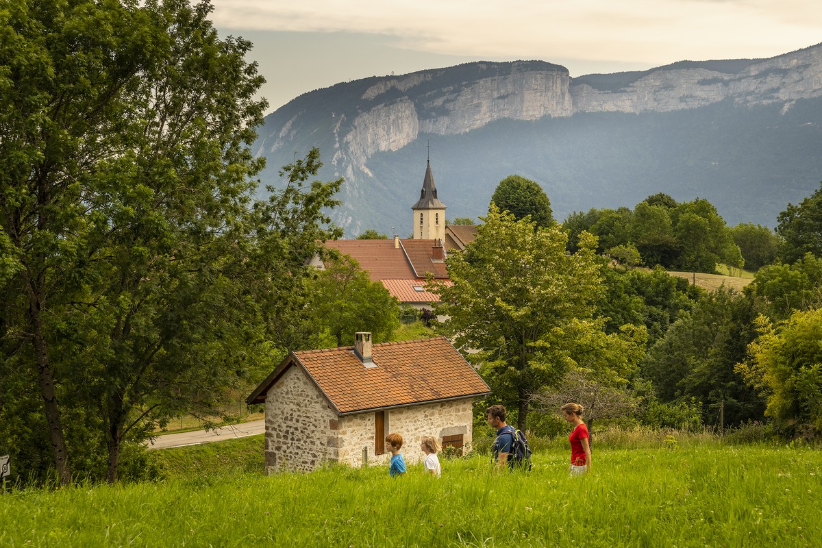
There are some villages that one does not visit by chance. Mont-Saint-Martin is one of them. With its dead-end look, this small end of the world of Chartreuse, perched at an altitude of 740 meters, is to be discovered for a new escape to share.
Read more Read less
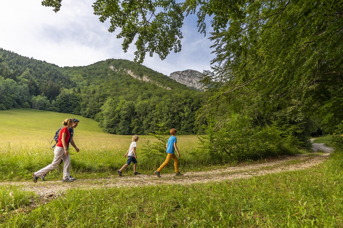
In front of the Fontanil town hall, on the Chartreuse side, from the signpost Le Fontanil-Cornillon (alt. 220 m), take the path going up towards La Giraudière. It is a yellow signpost that you follow, and even if the marks are rare,
the itinerary is easy to follow. It is thus without difficulty of orientation that you arrive at Giraudière (alt. 350 m). Continue to the left in the direction of Mont-Saint-Martin, noted at 2,3 km. You rise thus of 400 m while passing
in front of the source of the Bonnard, to reach, in Mont-Saint-Martin, the road of Fochaire (alt. 740 m). Continue straight on the asphalt to reach the town hall and the church of Mont-Saint-Martin. The return is done by the same way.
You can also extend your hike by the route of La Côte Charvet. You will then add 300 m of difference in altitude to the 550 already done, and 6.4 km of distance. (Cf topo " La côte Charvet, un belvédère fabuleux").
Point of interest:
- The village of Mont-Saint-Martin
- The church of Mont-Saint-Martin
- The source of the Bonnard
-
From Fontanil to Mont-Saint-Martin
Départ : le Fontanil-Cornillon (alt. 220 m)
38120 FONTANIL-CORNILLON
Route
- Languages: Fr
Rates
Free access.
Opening periods
All year round.
Equipments and characteristics
- Pets allowed
Access
PUBLIC TRANSPORTATION: line 63 (Flexo), stop le Fontanil Mairie
PARKING : just before the Fontanil town hall on the left
- Latitude: 45.248644
- longitude: 5.666305
Environnement
- Mountain location
- Close to a public transportation
- Forest location
Track characteristics
- Distance:
- 6 km
- Positive level difference:
- 550 m
- Daily duration:
- 4h 35min
- Level:
- Level bue - Medium
- Type:
- Loop
