L'Emeindras
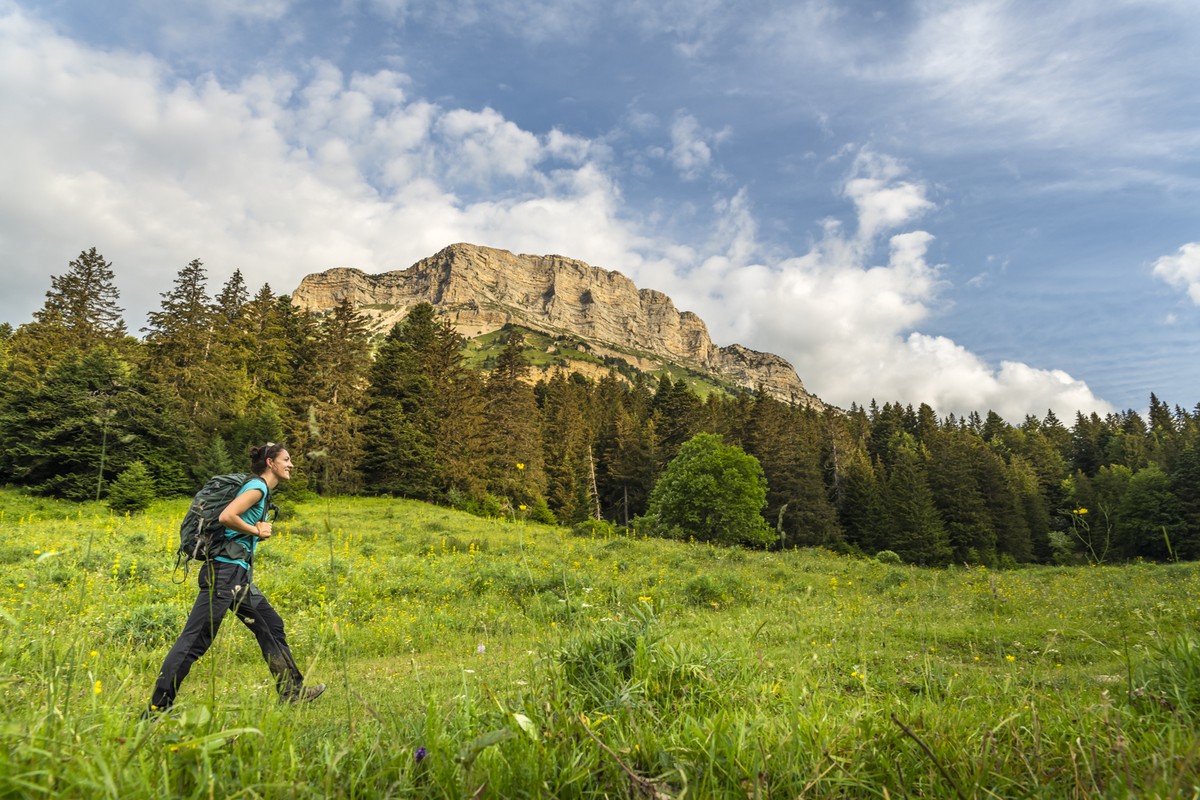
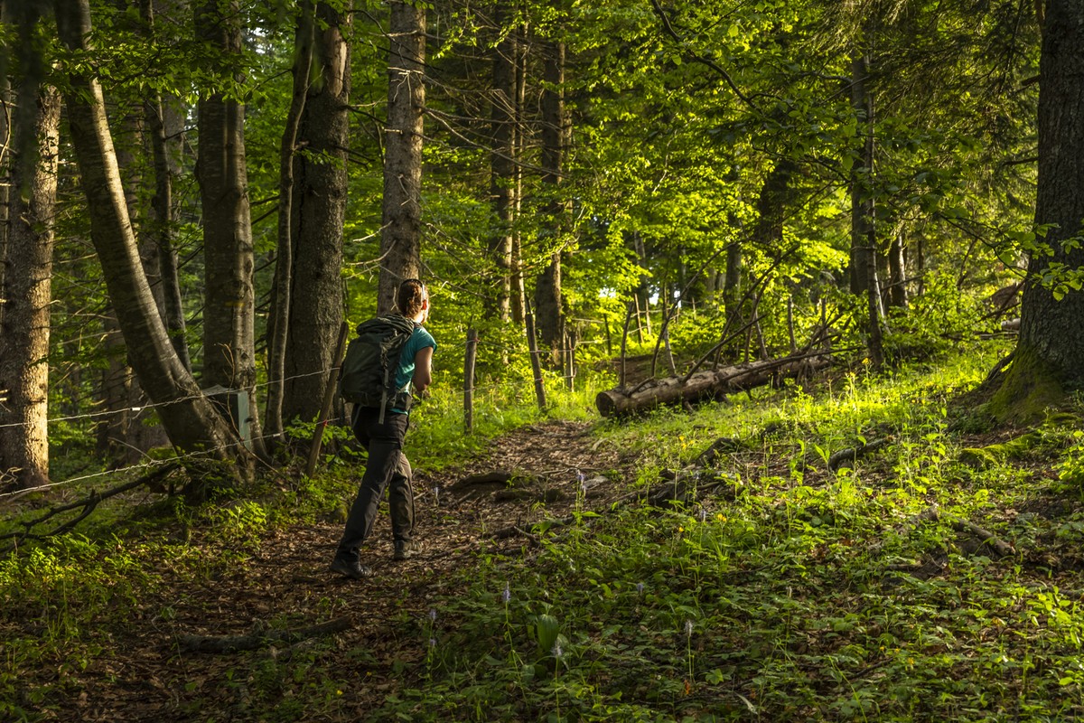
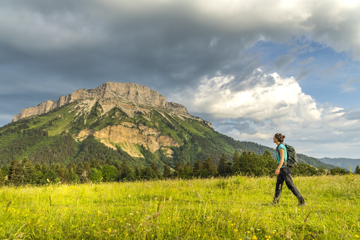
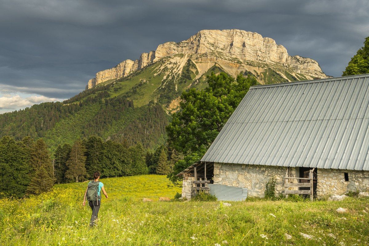
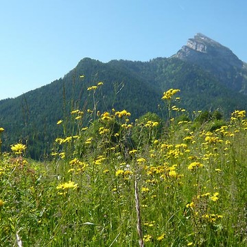
Under the benevolent gaze of Chamechaude, the highest peak of the Chartreuse, between deep forests, mountain pastures and limestone cliffs, a hike to discover a great diversity of landscapes
Read more Read less
From the post "Le Sappey Église", take the road towards "La Charmette" to reach the "Croix du Rocher". Take on the left towards "Les Combes". After 600 m, take a track towards " Les Allières "; it follows the bottom of the valley then goes up along a torrent and reaches a crossroads at the post " les Allières ". Follow the trail to the right until you reach L'Émeindras de dessous and then L'Émeindras de dessus. As you approach the mountain pastures, cross the barrier, climb the grassy path and take the meadows [panoramic view of Chamechaude, the Chartreuse and Vercors summits]. At the Émeindras de dessus, follow the GR® 9 to the left towards the habert de Chamechaude. Shortly after the Émeindras pass, the path continues by a steep ascent in tight twists for 300 m, then by a balcony path, before going down to the habert de Chamechaude [striking view on the cliffs of Chamechaude]. Go down in the direction of "La Charmette" avoiding the forestry tracks, passing by the "Pied de Velouse" until "Montjalat le Haut". Possibility of returning to the starting point by following the GR® 9 straight ahead. Leave the GR® 9 by taking on the right the direction of the pass of Palaquit. After 400 m of very steep ascent, reach a balcony path. Continue in the direction of the Palaquit pass to reach the place called Le Réservoir. Take the GR® de Pays for 300 m in the direction of "Le Sappey Église". Leave it by following on the left the path which, without taking foot on the departmental road, leads to the road of the "Crêts". Cross the D 512. Take on the right the dead end of the Mollard then, after 300 m, take on the left the GR® de Pays and reach the calvary of Beauches [view on the marshes of Sagnes]. Turn left towards Le Sappey. At the intersection of the D 512, go to the right to join the starting point.
Adaptez votre équipement en fonction de votre niveau et de la météo. Ne pas quitter les sentiers.
-
L'Emeindras
Départ : Eglise du Sappey-en-Chartreuse
38700 LE SAPPEY-EN-CHARTREUSE
Route
- Languages: Fr
Rates
Free access.
Opening periods
All year round.
Subject to favorable weather.
Equipments and characteristics
- Pets allowed
Access
PARKING : face à l’église, à côté de l’école du Sappey-en-Chartreuse
En bus : ligne Flexo 62 Arrêt : Le Sappey-en-Chatreuse Place
- Latitude: 45.259881
- longitude: 5.777411
Environnement
- Mountain location
- Riverside
- Close to a public transportation
- Close to GR footpath
Track characteristics
- Distance:
- 14 km
- Positive level difference:
- 685 m
- Daily duration:
- 4h 30min
- Level:
- Orange level - quite hard
- Type:
- Loop
See also
-
Parc Naturel Régional de la Chartreuse
View more

