The Cycle from Castle to Château, from Vizille
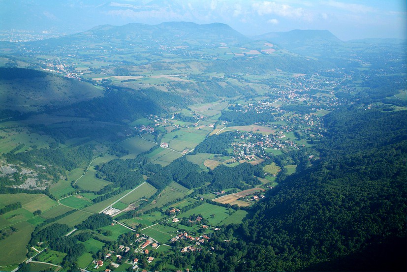
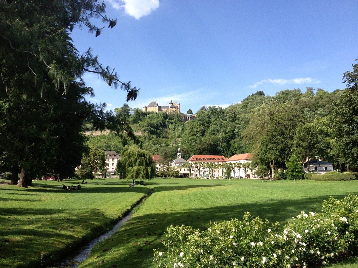
Starting from Place du Château in Vizille, this Ebike loop takes you to the Palace of Vizille, then to Uriage Castle and back to Vizille. The itinerary follows the roads and lanes of the Vaulnaveys valley with very little elevation gain.
Read more Read less
Itinerary details: always go straight on unless otherwise indicated.
The itinerary starts at Place du Château.
You’ll find the first direction indicator on the hiking waymarker signpost at the give-way sign. Your loop starts on the road towards Uriage, goes left immediately after the tunnel on Rue Malpertuis, then follows Rue du Château du Roy. This is the most ancient district of Vizille.
At the top of Rue du Château du Roy, take a right turn onto the downhill Chemin de la Paute.
At the next intersection, turn left onto Chemin du Plan, leaving Chemin Cavard on the right. Continue left on Chemin du Plan. Just after the model aircraft ground, turn left towards Vizille fishing lake (please be mindful of anglers and the tranquillity of the site), go around the barrier to the right and follow the right-hand lakeside to the track leading out of the fishing area. Turn right and continue to the Stop sign at the road. (Be careful on this busy road section.)
Turn left onto the road, then immediately right onto Chemin de Vaulnaveys.
Follow this small road which quickly leads into “Promenade des Noyers”.
Go past the pony club on your left then, after 1 km, the Camping de l’Imprévu campsite (where you can rent Ebikes). At the town hall go straight ahead on Promenade de la Mondée, continue until you reach Chemin les Meynards, and turn right. At the next intersection go straight on to follow Route des Frettes, then turn left onto Route du Pont Neuf and continue straight ahead on Chemin de la Croix de Maitre. Cross the road, Route de la Gorge, to follow Route de la Croix des Maitres.
At the end, turn left onto Chemin des Chartreux and, after 40 metres, turn right onto Chemin du Clos. After 500 metres, turn right onto Chemin du Marais. This leads into Chemin des Perrières which you’ll follow for 300 metres. In the bend, turn right to stay on Chemin des Perrières (do not go straight ahead on Chemin des Combes), then take Chemin du Lavoir on your left.
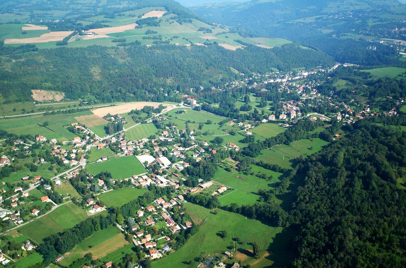
Go past the riding stables, then turn right onto Chemin des Guichards, and right again to stay on Chemin des Guichards until you reach Avenue du Golf.
On Avenue du Golf, follow the right-hand cycle lane for 100 metres (be careful, this is a busy road), then go right on Route des Clodits. Cross the Prémol/Chamrousse road (be careful on this busy road) to follow Chemin des Roux until you reach Chemin des Blancs on your left.
Go down this tarmac track and turn right onto Chemin Saint-Georges. After the left-hand bend, continue your descent to Route de Prémol.
Take a small track immediately to the right. This leads to Chemin de Mourachat which takes you into the park and to the AEROJUMP playground (bicycle-friendly facility).
Your return trip starts here. Turn back and, again, go past the forest-edge park behind the AEROJUMP playground and continue to the Tuilerie roundabout.
Turn right to follow the track on the left-hand side of the road. At the pedestrian crossing near the golf course, cross the road and take the roadside path to the right.
Once past the golf course, from the roundabout you can stay off the road by turning right onto the path that follows the D524 along Avenue d’Uriage, then follow Chemin des Abeilles which takes you back onto the road, just for 180 metres. Then turn right onto Chemin des Bargeonniers. At the intersection with Route de Brié, carry on for a while as the road name changes to Chemin Fromental, then Promenade de la Lavée.
When you reach the “Granit Chabert” site on your left, leave Promenade de la Lavée on your left and continue straight ahead on the path. After 260 metres, ignore the uphill track on the right.
Continue straight on for 800 metres, ignoring also the wide track off to the left.
After 450 metres, again go straight ahead on Chemin des Charriers. Along the foot of the hill, cross 2 intersections and, at the 3rd intersection, continue straight ahead on Chemin sous les Vignes.
Enter Vizille on Rue du Château du Roy and continue on Rue de Malpertuis to Place du Château.
Drinking water: Place du Château in Vizille and Uriage park
Picnic area: Domaine de Vizille, Vizille fishing lake and Uriage park


-
The Cycle from Castle to Château, from Vizille
Place du Château
38220 VIZILLE
Route
- Languages: Fr
Rates
Free access.
Opening periods
All year round.
Subject to favorable weather.
Equipments and characteristics
- Pets allowed
Access
Departure served by regional bus routes X03 and T90 at 500m (Chantefeuille stop), T75 (Place du Château stop) and routes 23 and 65 (Tag network).
3km from Jarrie Vizille train station
- Latitude: 45.074990
- longitude: 5.772516
Environnement
- Town location
- In centre of town
- Close to a public transportation
Track characteristics
- Distance:
- 19 km
- Positive level difference:
- 250 m
- Level:
- Level bue - Medium


