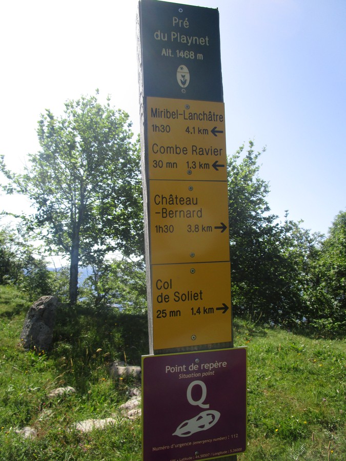
Le Pré du Playnet
After starting from the charming village of Miribel-Lanchâtre, this hike between woods and meadows reaches the Pré du Playnet and its panoramas on the eastern barrier of Vercors, on the Trièves and the Dévoluy.
Read more Read less
Departure from Miribel-Lanchâtre (Town Hall car park), take the direction of Combe Ravier to join the path at the exit of the village. It crosses the meadows, then after a brief climb, turns right to cross a Stream. Continue on the path that enters the forest and then rises quickly to Combe Ravier.
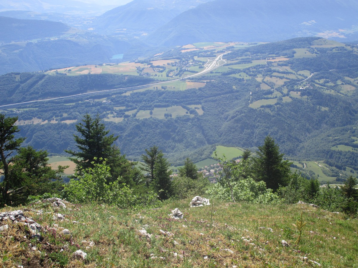
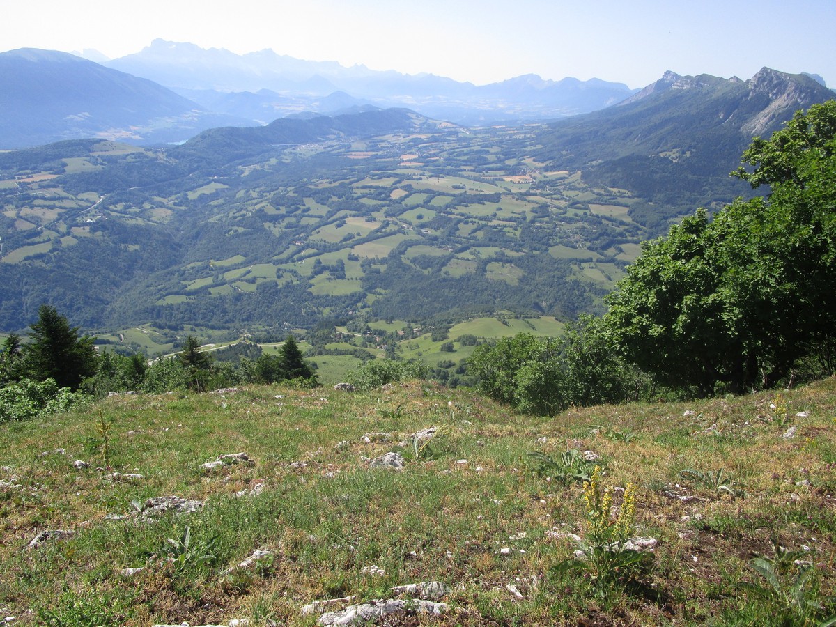
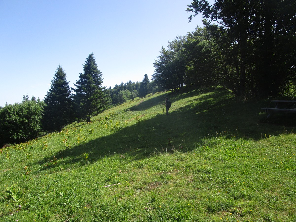
From there, turn left along the ridges towards Pré du Playnet. After a series of very steep switchbacks, the path follows the cliffs (be careful!) And leads to a large meadow at Planey (panorama of the surrounding massifs). Continue along the ridges to Col du Soliet. Then turn left to go down towards Miribel. On leaving the forest, the trail crosses meadows to reach Le Vernay. Continue towards Mirebel by a small road which reaches the D8. Follow the D8 to the left before returning to the path that descends to the orientation table. Continue below until Pierre Ronde. Join the village by road (oven, Château). At the end of the street, turn left to find the Town Hall parking lot.
Adaptez votre équipement en fonction de votre niveau et de la météo. Ne pas quitter les sentiers.


-
Le Pré du Playnet
parking de la Mairie
Miribel-Lanchâtre
38450 MIRIBEL-LANCHÂTRE
Route
- Languages: Fr
Rates
Free access.
Opening periods
All year round.
Subject to favorable weather.
Equipments and characteristics
- Pets refused
Access
Depuis Grenoble, prendre l'A51 vers le Sud, sortir à la sortie 12 vers Vif.
Traverser Vif puis prendre la D8 direction Miribel - Lanchâtre.
- Latitude: 44.975353
- longitude: 5.619926
Track characteristics
- Distance:
- 9 km
- Positive level difference:
- 750 m
- Daily duration:
- 4h
- Level:
- Level red – hard, For experts / practiced
- Type:
- Loop
