Caminata - Tour de l'Aiguille en Chartreuse
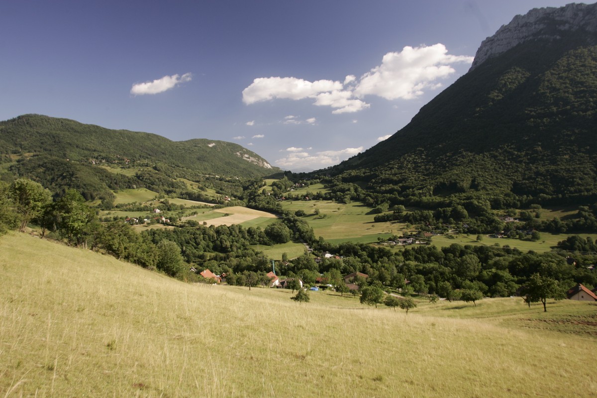
During this forest hike, you will discover another facet of the Chartreuse forests, through a Mediterranean-type forest due to its southern exposure.
Seguir leyendo Voir moins
From Quaix en Chartreuse (town hall and church parking), take the stairs that go up to the left of the church and reach La Jars. Continue in the direction of Les Touches where you follow the direction of the Aiguille de Quaix by the path on the right, passing by the Mas de Leuilly (l'eurilly = the needle) formerly a café-inn. The path climbs steeply to the left of the stream to the Col du Ronzier where you turn left to arrive at the Aiguille ridge and admire the view over the valley by a short return trip to Aiguille Belvedere.
For the return, follow the descent in the direction of Les Prés de l'Aiguille and continue along the meadows, passing through Tréropoup and in the direction of Quaix en Chartreuse. Find Les Touches and the way to go back to the starting point.
To see / to do near the route:
- La Casamaures (8km from the start): exhibitions and shows.
- Fort du St Eynard (13km from the start): visit of the fort and exceptional panorama.
- Museum of Contemporary Sacred Art (20km from the start): Church of St Hugues.
- Museum of the Grande Chartreuse (23km from the start): audio-guided visit
All the information and other ideas for visits on chartreuse-tourisme.com/rsf
Information / security:
- you should adopt a few rules and follow a few tips to fully enjoy your walks and hikes in complete safety! Before leaving, follow our recommendations and advice on chartreuse-tourisme.com/conseils-rando-trail (or on request at the tourist offices).
- Note: the mountain guide is a specialist in mountain fauna and flora, off-trail hikes away from the crowds, local history, alpine and peasant traditions, etc. safely ! Call on them! Detailed list on chartreuse-tourisme.com/accomp (or in tourist offices).
- You hike under your sole responsibility. Chartreuse Tourisme and the tourist offices cannot be held responsible for the proposed itineraries.
Useful numbers :
- Weather forecast (must be consulted before your departure): 3250 or www.meteo.fr
- Mountain rescue: 112
-
Caminata - Tour de l'Aiguille en Chartreuse
Le Bourg
parking de la mairie et de l'église
38950 QUAIX-EN-CHARTREUSE
Itinerario
- Idiomas: Fr
Tarifas
Gratis.
Periodo de apertura
Del 01/05 al 30/11.
A reserva de buen tiempo.
Instalaciones y características
- Mascotas rechazadas
Acceso
ACCÈS BUS :ligne Flexo 61 Arrêt“Quaix en Chartreuse-place“
- Latitud: 45.252966
- Longitud: 5.717870
Características del recorrido
- Distancia:
- 8 km
- Posible desnivel:
- 600 m
- Duración diaria:
- 4h
- Nivel
- Nivel naranja - muy difícil
- Tipo
- Boucle
