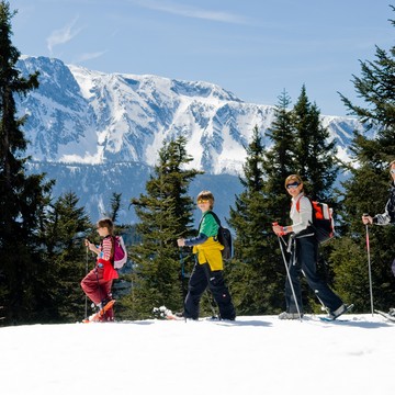
Itinerário de caminata con raquetas - Cruce de Chamrousse
Climb to the top of the Chamrousse resort, through the forest and discover magnificent views.
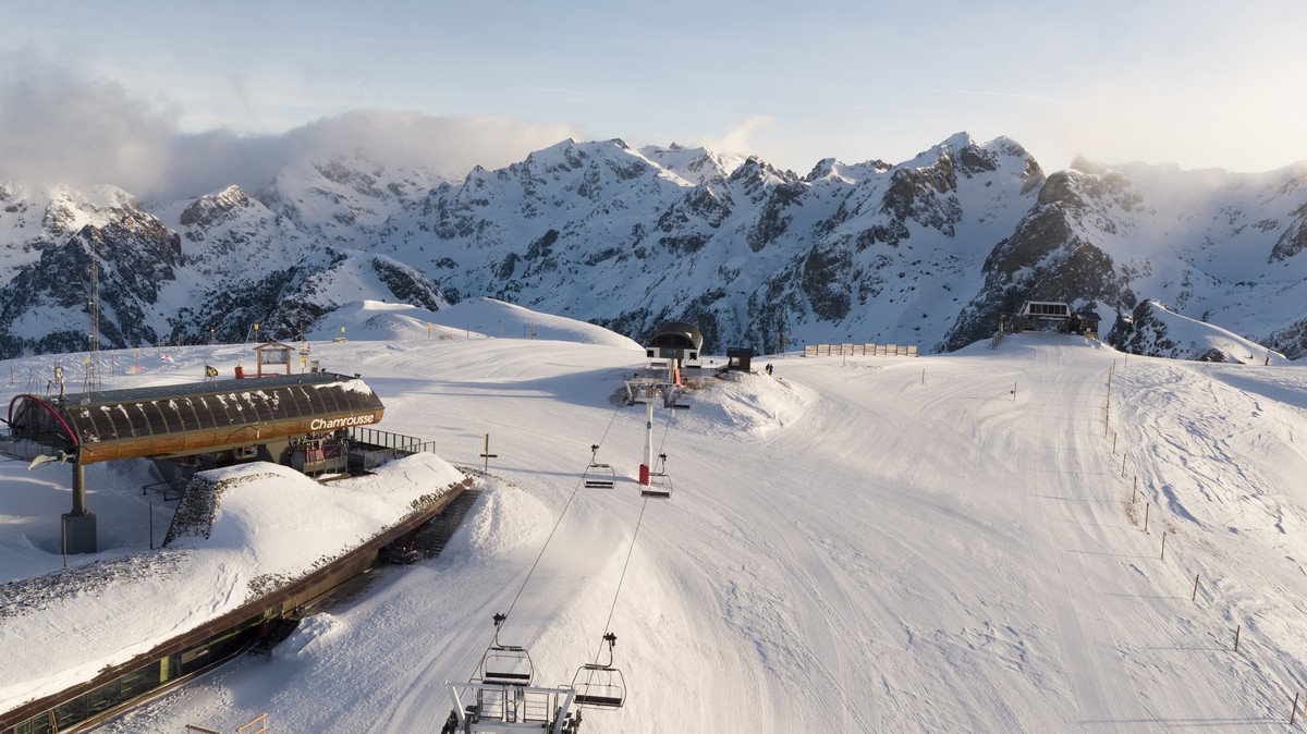
Departure point: uphill bend in the Bachat Bouloud road, near the Skiset store.
Seguir leyendo Voir moins
From Route de Bachat Bouloud: approx. 5h round trip / 7km and 520m ascent.
On arrival, the view of Grenoble and the Grésivaudan valley is breathtaking.
Please note that dogs are not allowed on this route.
-
Itinerário de caminata con raquetas - Cruce de Chamrousse
Route de Bachat Bouloud
Chamrousse 1700
38410 CHAMROUSSE
Itinerario
- Idiomas: En Fr
Tarifas
Acceso libre.
Periodo de apertura
Del 01/12 al 15/04 todos los dias.
A reserva de nieve suficiente.
Instalaciones y características
- Mascotas rechazadas
Acceso
New start: uphill bend in the Bachat-Bouloud road.
Public transport :
- Chamrousse 1700 - Villages du Bachat: station shuttle - "Épicéas - Villages du Bachat" stop (to/from Chamrousse 1750 - Roche Béranger)
- Chamrousse 1750 - Roche Béranger (+ station shuttle or walking approach approx. 15 minutes) :
- regular bus service all year round: N93 (to/from Grenoble), stop "Chamrousse 1750" [merging of former bus routes T87, Transaltitude and Destination nature Skibus / Estibus 707].
- bus line / shuttle on reservation weekdays excluding public holidays: Flexo 57 to/from Uriage [former TAD TouGo transport on demand - line G701].
- Latitud: 45.103552
- Longitud: 5.882705
Entorno
- En montaña
- Al pie de las pistas
- Estación de esquí
- Cerca de una parada de transporte colectivo
Características del recorrido
- Distancia:
- 7 km
- Posible desnivel:
- 522 m
- Duración diaria:
- 5 h
- Nivel
- Negro, Solo para expertos/confirmados
- Tipo
- Aller-retour
Para ver
-
Itinerario con raquetas de nieve: Lac Achard vía Clairières
Más información -
Itinerários de caminatas con raquetas en Chamrousse
Más información -
Adrenaline Park - Chamrousse giant zip line
Más información


