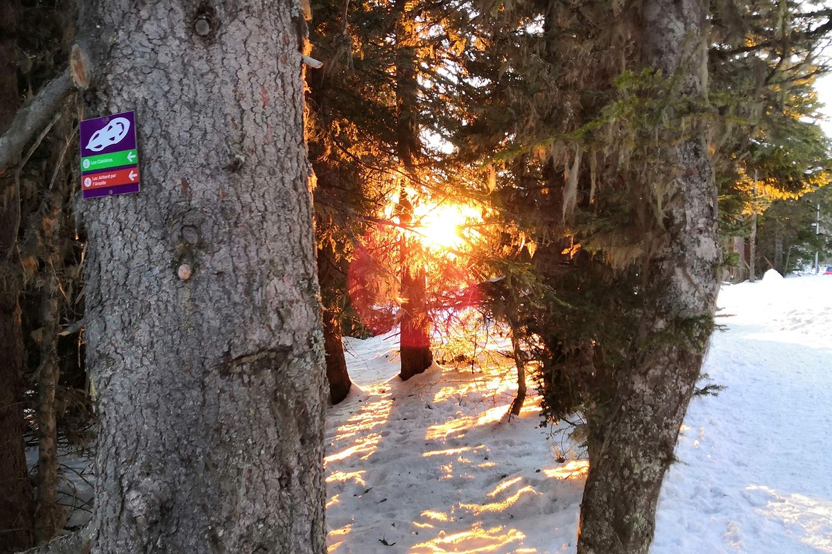
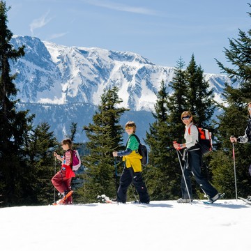
Itinerario con raquetas de nieve: Lac Achard vía Clairières
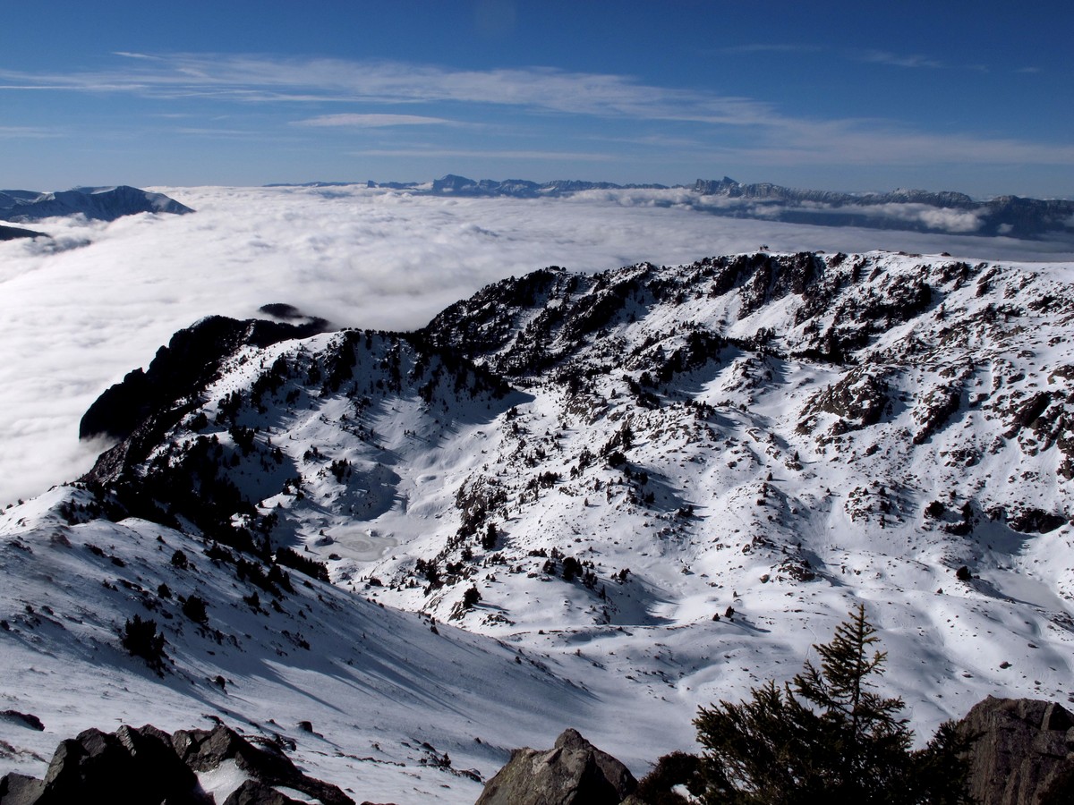
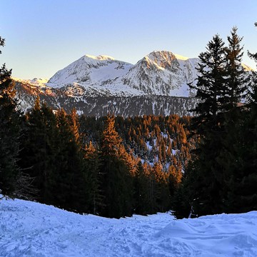
A lo largo de su caminata, tendrá una vista impresionante de la turbera de Arselle (dominio nórdico) y del Taillefer. Al final del camino, le espera el lago Achard helado y cubierto de nieve: ¡un paisaje impresionante!
Seguir leyendo Voir moins
From the villages of Bachat-Bouloud via Les clairières: 3h round trip 4.8km and 230m ascent
Along the way, you'll enjoy breathtaking views of the Arselle peat bog (Nordic area) and Taillefer. At the end of the path, the snow-covered Lac Achard awaits you: a breathtaking landscape!
This peaceful and enchanting place is also a listed site that must be respected.
-
Itinerario con raquetas de nieve: Lac Achard vía Clairières
Route de Bachat-Bouloud
Chamrousse 1700
38410 CHAMROUSSE
Itinerario
- Idiomas: En Fr
Tarifas
Acceso libre.
Periodo de apertura
Del 01/12 al 15/04 todos los dias.
A reserva de nieve suficiente.
Instalaciones y características
- Animaux acceptés
Acceso
Access from Chamrousse 1750 - Roche Béranger :
- on foot: main parking lot of the shopping mall. Walk down to Bachat Bouloud, cross the bridge, follow the road to the left, start at the hairpin bend.
- by free shuttle bus: shuttle bus 2 stop "Epicéas - Villages du Bachat".
Public transport - Chamrousse 1750 - Roche Béranger stop:
- regular bus service all year round: N93 (to/from Grenoble), "Chamrousse 1750" stop [merger of former bus routes T87, Transaltitude and Destination nature Skibus / Estibus 707].
- bus line / shuttle on reservation weekdays excluding public holidays: Flexo 57 to/from Uriage [former TAD TouGo transport on demand - line G701].
- resort shuttle in winter: "Centre Commercial (1750)" stop (to/from Chamrousse 1650 - Recoin and Chamrousse 1600 - plateau de l'Arselle/nordic area)
- Latitud: 45.103584
- Longitud: 5.882629
Entorno
- En montaña
- Estación de esquí
- Cerca de una parada de transporte colectivo
- Cerca de una parada de lanzaderas
Características del recorrido
- Distancia:
- 4 km
- Posible desnivel:
- 225 m
- Duración diaria:
- 3 h
- Nivel
- Azul
- Tipo
- Boucle
Para ver
-
Itinerário de caminata con raquetas - Clairières
Más información -
Itinerário de caminata con raquetas - Cruce de Chamrousse
Más información -
Itinerários de caminatas con raquetas en Chamrousse
Más información


