"Le sentier du Cozon" walk
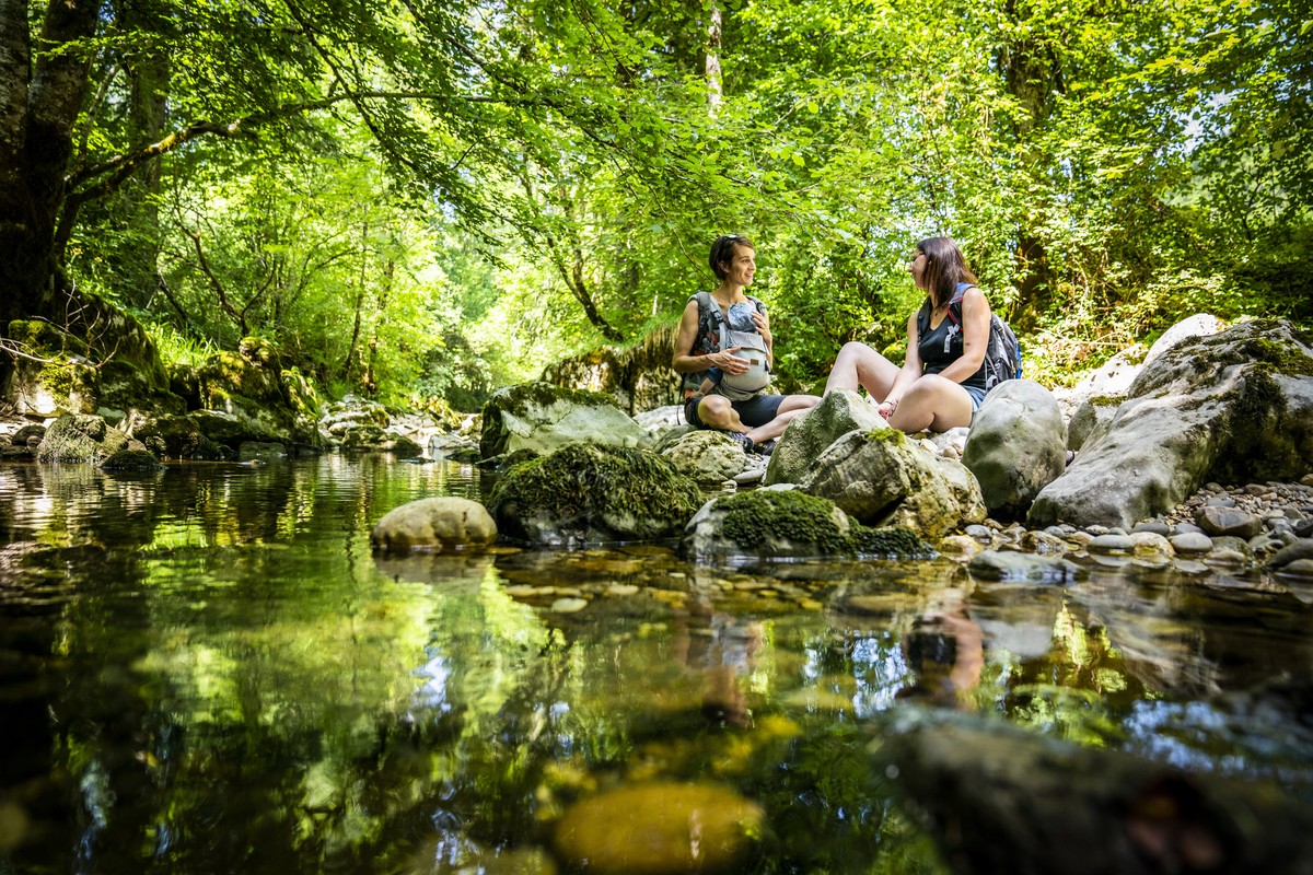
In the Entremonts valley, the Cozon river, as beautiful as it is refreshing, meanders docilely between the rocks. Will you be able to find the sculpted potholes? As you hike along, you'll also come across some pretty, typical hamlets.
Seguir leyendo Voir moins
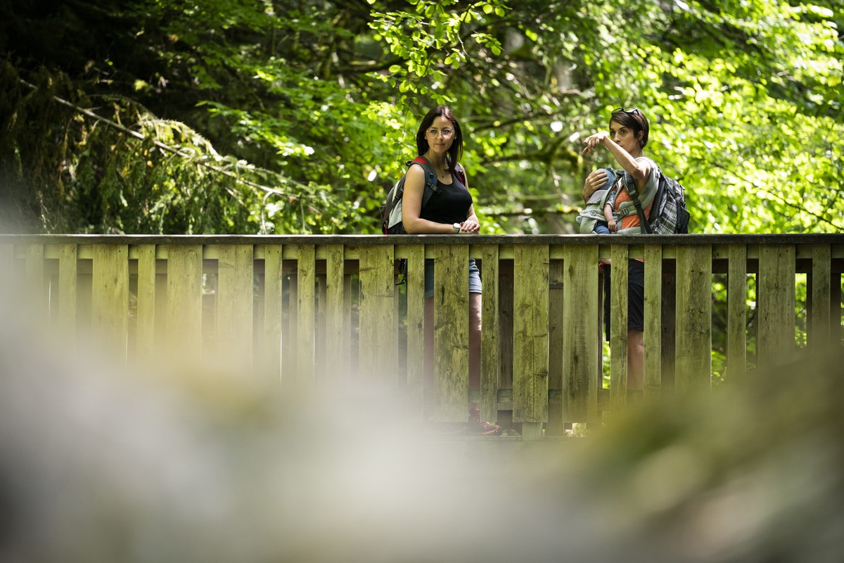
Starting from Saint Pierre d'Entremont, which translates to "between the mountains," your journey will lead you to explore the numerous hamlets along the Cozon River.
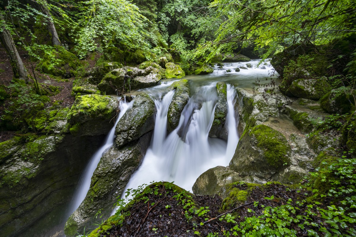
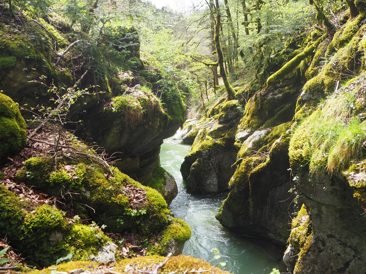
The river offers both freshness and mystery, as its bed is occasionally concealed beneath rocks and moss, lending the water its distinctive hue.
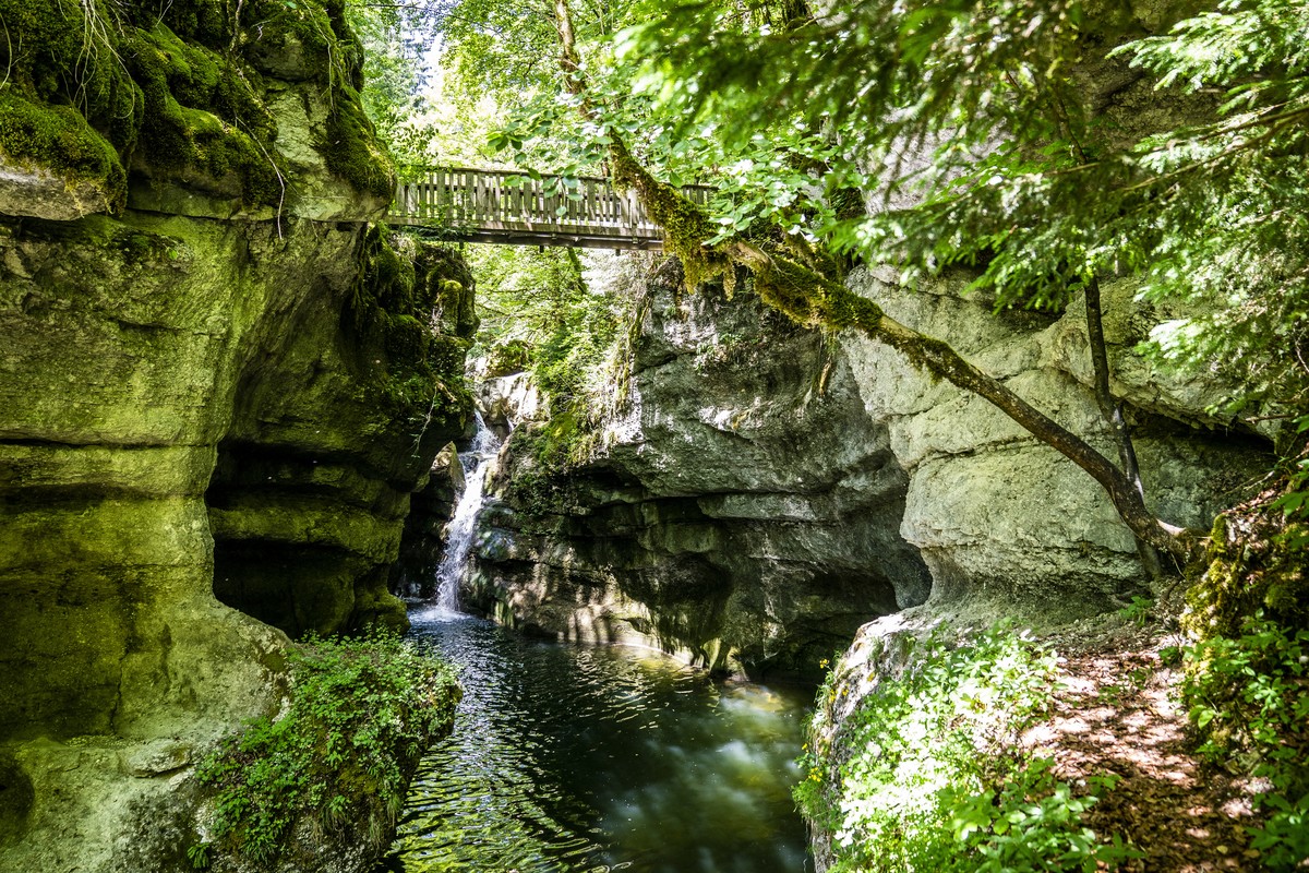
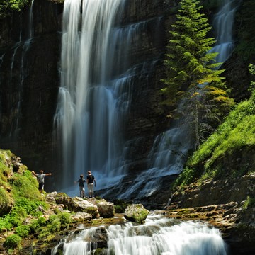
But the surprises are just beginning! The wooden footbridge at La Chivolande provides a direct view of the Cozon waterfall: as beautiful as it is mesmerizing, it forms a deep cauldron sculpted by erosion, creating an enchanting and refreshing spot.
The trail then winds through a chaos of boulders, whose rounded shapes may evoke certain human and animal silhouettes.
Sécurités et règles de bonne conduite :
- Tout itinéraire est emprunté sous la responsabilité du randonneur, à ses risques et périls, les itinéraires n'étant pas surveillés.
- Choisissez votre parcours en fonction de votre condition physique et des conditions météos.
- Consultez la météo et pensez à emporter des vêtements chauds et imperméables. Les changements de temps en montagne sont très rapides.
- Respectez les consignes indiquées pour le balisage.
- Ne partez pas trop tard dans l'après-midi pour être sûr d'être rentré avant la nuit.
- En cas de mauvais temps ou de chute de neige, certains circuits peuvent ne pas être praticables (renseignements aux Offices de Tourisme)
-
"Le sentier du Cozon" walk
Office de tourisme Saint Pierre d'Entremont
73670 SAINT-PIERRE-D'ENTREMONT
Itinerario
- Idiomas: Fr
Tarifas
Acceso libre.
Periodo de apertura
Del 01/05 al 30/11.
A reserva de buen tiempo.
Instalaciones y características
- Mascotas rechazadas
Acceso
Plusieurs parkings à disposition dans le village. Départ de la randonnée côté St Pierre d'Entremont Savoie en face de l'église, traverser le pont puis prendre à droite, direction "La Fracette".
- Latitud: 45.415186
- Longitud: 5.854843
Entorno
- En montaña
- Al borde de río
- En el bosque
- Con vista sobre el rio
Características del recorrido
- Distancia:
- 11 km
- Posible desnivel:
- 400 m
- Duración diaria:
- 4 h
- Nivel
- Azul
- Tipo
- Boucle
Para ver
-
Cirque of Saint Même
Más información

