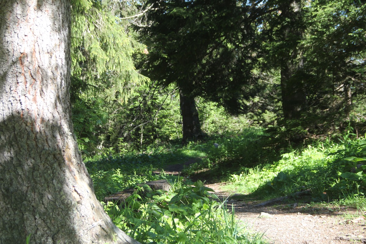
Recoin - Roche link running trail
Green trail on the connecting path between Chamrousse's two main resorts.
Start: Office de tourisme 1650 - Recoin or Office de tourisme 1750 - Roche Béranger.
Return trip: Chamrousse 1650 <-> Chamrousse 1750.
Seguir leyendo Voir moins
Easy trail course.
Estimated running time based on an average speed of 7km/h.
-
Recoin - Roche link running trail
Place du Vernon
Chamrousse 1650 / 1750
38410 CHAMROUSSE
Itinerario
- Idiomas: Fr
Tarifas
Acceso libre.
Periodo de apertura
Todo el año todos los dias.
Instalaciones y características
- Animaux acceptés
Acceso
Resort road access from Grenoble: Rocade Sud > exit no. 2 "Uriage" > Route départementale 111 (RD 111) Seiglières side for Chamrousse 1650 - Recoin or Luitel side for Chamrousse 1750 - Roche Béranger.
Public transport :
- regular bus service all year round: N93 (to/from Grenoble), stop "Chamrousse 1650" or "Chamrousse 1750" (merger of former T87, Transaltitude, Destination neige Skibus / nature Estibus 707)
- transport by reservation on weekdays excluding public holidays: Flexo 57 (to/from Uriage), stop "Chamrousse 1650 - Le Recoin" or "Chamrousse 1750 - Roche Béranger" (former TAD TouGo - line G701)
- winter season resort shuttle: "Télécabine (1650)" or "Centre Commercial (1750)" stop (to/from other resort hubs and Chamrousse 1600 - plateau de l'Arselle/nordic area).
- Latitud: 45.123176
- Longitud: 5.877295
Entorno
- En montaña
- Estación de esquí
- Cerca de una parada de transporte colectivo
- Parada de autobús a menos de 500 m
Características del recorrido
- Nivel
- Verde
- Tipo
- Aller simple (itinérance)
