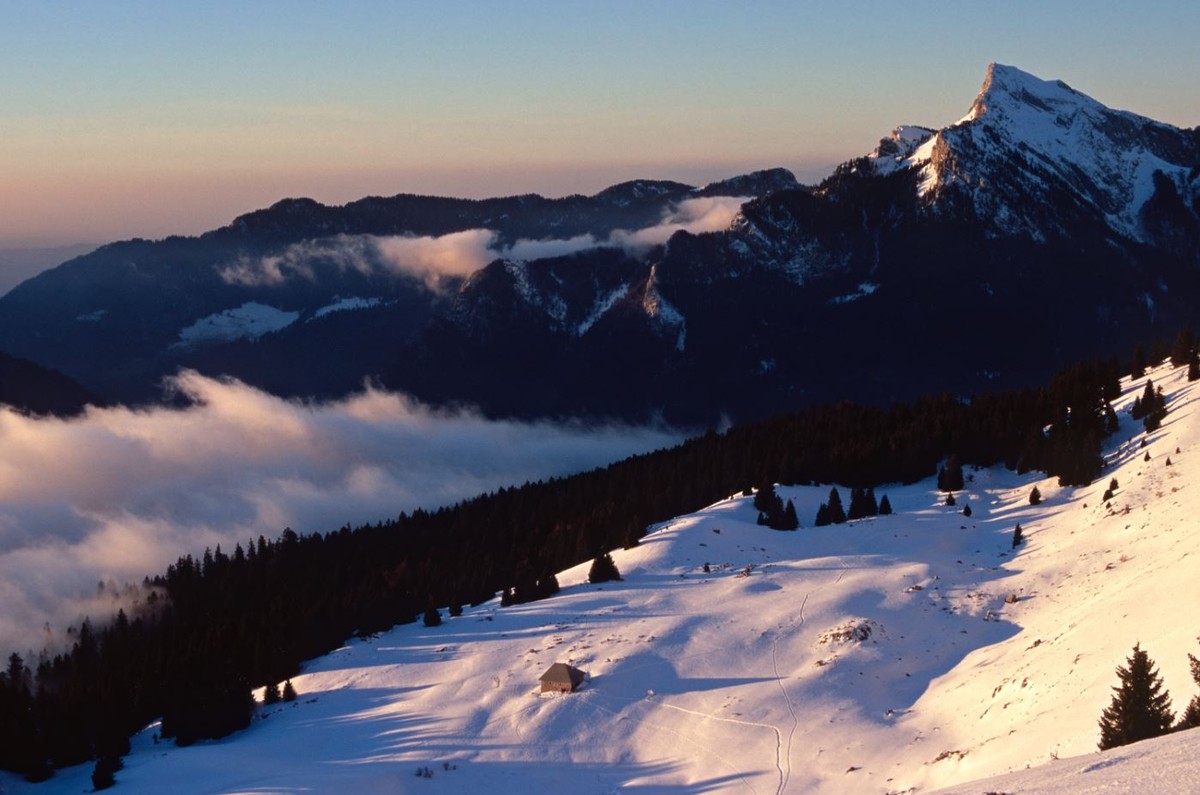
Océpé forest

Equipment : Wintersportarten, Schneeschuhroute

An ideal route for a full day of snowshoeing in the heart of the Chartreuse forest. You will discover the counter forts of the Roc d'Arguille, admire the Dent de Crolles and enjoy sublime views of the village of Saint Pierre de Chartreuse.

Weiterlesen Voir moins

Two possible departures for this long distance hiking route. (1) Start 1: at the entrance of Le Hameau des Antonins, take the forest trail to the left (snowshoe markings N° 6). It climbs into The Occépé forest, a long climb up to the Col du Coq. (2) The descent is made via route n° 5, following the road that goes down to St Hugues in the meadow under the pass at the start. Then take the old Roman route of route n°5 (snowshoeing) to the top of the place called "La Perelle". (3) From this place take a track to the right, it is marked snowshoes n°6, it makes a few small ascents before reaching the Antonins forest track. At this point go down on the left, you are close to the arrival in this hamlet.
When you are on the road turn right, then left at the next crossing.
(a) The other departure is over Le Hameau de la Brévardière, at the end of the road not cleared in winter. After a short climb turn left on a track that goes up before going down on the "Ocepe forest track". Then turn right, climb on this track until the Col du Coq.
From the pass of the mountain, the descent is the same as in route N°5. Pay attention when you come back to the junction taken in the morning above Brévardiere continue straight down to reach your starting point.


Preise

Freier Zugang.

Öffnungsperioden

Vom 15/12 bis 10/03.

Nur bei günstigen Wetterbedingungen.

Ausrüstung und Eigenschaften

  • Abgelehnte Tiere

Eigenschaften der Strecke

Distanz:
15 km
Positiver Höhenunterschied:
600 m
Tägliche Dauer:
7h
Höhe:
Schwarz
Art:
Boucle

Ebenfalls sehenswert
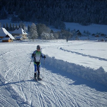
⇧