9 - Chamechaude on trail
Chamechaude, the highest peak in Chartreuse! A complete trail route with technical sections, superb single tracks and constant visual delights. Forest and mountain pastures on the menu.
Read more Read less
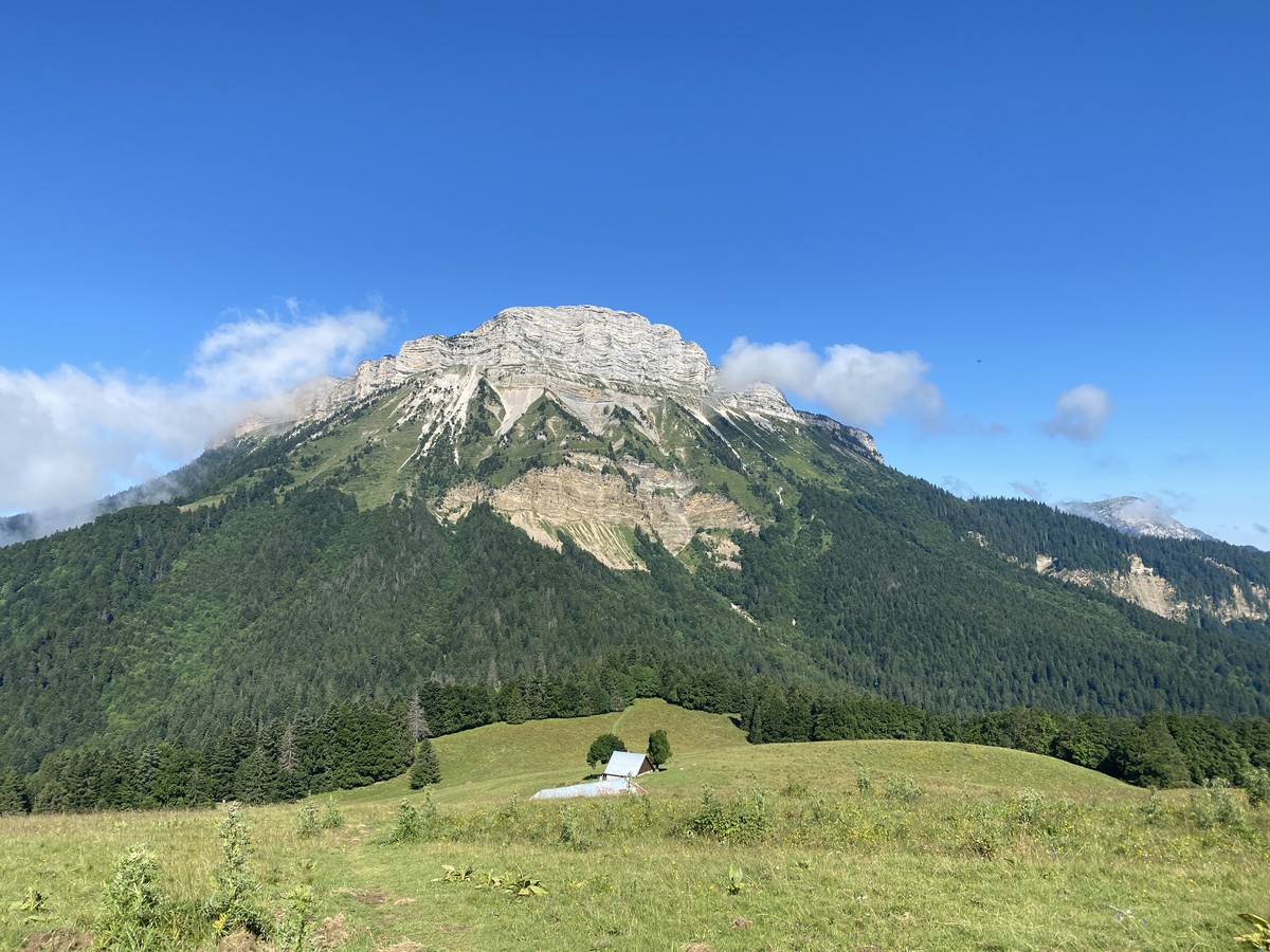
This red trail is for runners looking for a demanding and authentic challenge. The route leads to the ascent of the iconic Chamechaude peak, the highest point in the Chartreuse mountains, at an altitude of 2,082 meters.
The route covers technical terrain, alternating between steep trails, rocky passages, and sustained slopes, requiring good control of effort and footing. The commitment is constant, both on the ascent and descent, offering a complete and intense trail running experience.
This course will delight seasoned trail runners looking for elevation gain, technical challenges, and thrills in a spectacular and wild mountain setting.
Download the Raidlight-Trail-Experience App
Enjoy all the trail routes directly on your smartphone with several useful features:
*Track your real-time location along the route
*Access detailed trail descriptions during your outing and download the data for offline access
*Benefit from detailed IGN maps and add your timing results to the routes.
Step by step
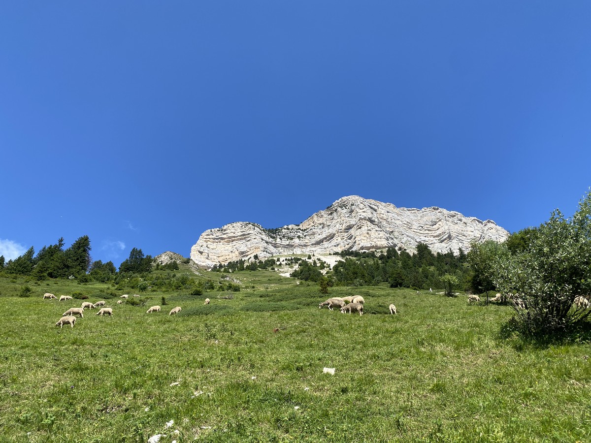
You start on a slight incline on the road heading towards Perquelin until you reach the Pont du Giclard, where you begin the ascent (about 600 m of elevation gain) to the Col des Ayes, at the foot of the Dent de Crolles. After a short descent to the Col du Coq, you head towards the alpine pastures of L’Emeindra, navigating through a mix of forest paths and ridge lines, especially near the Col de la Faita.
At the Alpage de l’Emeindra, the path becomes less defined; a PDIPR post invites you to turn right towards the Habert de Chamechaude. Cross the meadow and descend to the chalet of L’Emeindra.
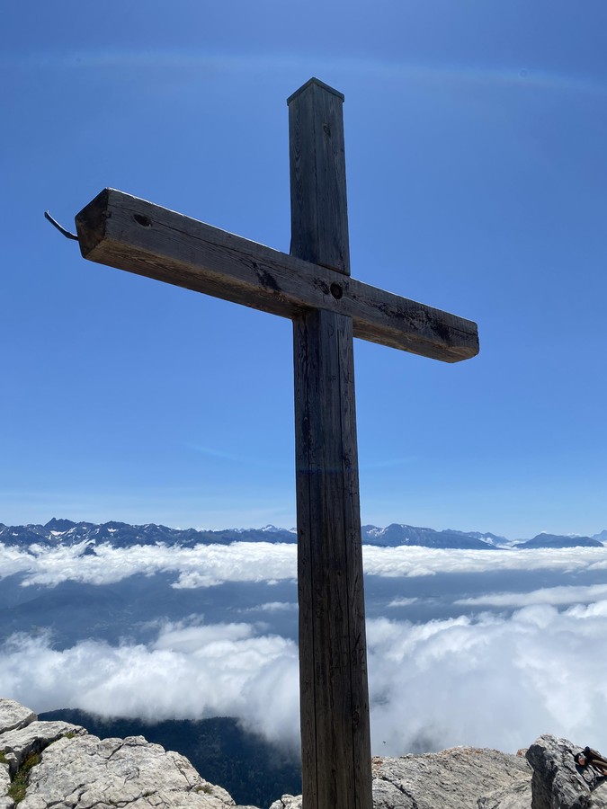
After crossing the alpine pasture, you arrive at the base of a steep ascent that leads you to the Habert de Chamechaude, situated at the foot of the Chamechaude cliffs. You’ll circle around these cliffs to ascend via the western slope. The final access to the summit involves a few cables. Congratulations, you’ve reached the highest peak of Chartreuse at 2082 m!
The descent back to Saint-Pierre-de-Chartreuse is pleasant, winding through the forest. Below the Bachassons cabin, take the path that descends straight ahead, leading to Fontenil, where you connect with a wide trail that joins route 8.
You’ll finish with a last short climb from the Diat leisure base, following alongside the Guiers Mort river.
Rates
Free access.
Opening periods
Closed temporarily.
Equipments and characteristics
- Pets refused
Track characteristics
- Level:
- Level red – hard
- Type:
- Loop
