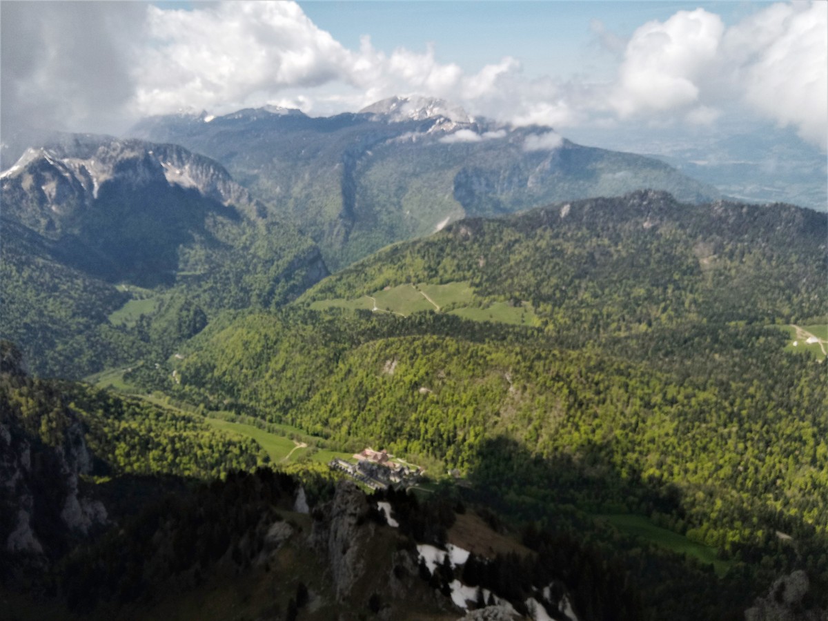
Boucle du Grand Som
A loop at the foot of the Grand Som and around the
the Grande Chartreuse monastery, via the summit of the Petit Som
and Notre Dame de Casalibus. Possibility of completing the loop
to the summit of Grand Som and back.
Read more Read less
.Useful numbers:
Weather (essential to check before departure): 3250 or www.meteo.fr
Mountain Rescue: 112
Information / Safety:
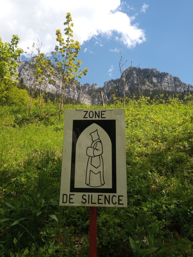
For a safe and enjoyable hike, it’s important to follow a few basic rules and tips. Check our recommendations and advice before heading out at chartreuse-tourisme.com/conseils-rando-trail (or ask at local tourist offices).
Did you know? A mountain guide is an expert in mountain wildlife and plants, off-the-beaten-path hikes, local history, Alpine traditions, and more. They ensure a safe and enriched experience! Find a detailed list of guides at chartreuse-tourisme.com/accomp (or ask at tourist offices).
Please note: You hike under your own responsibility. Chartreuse Tourisme and tourist offices are not liable for the suggested routes.
Ligne T40 (St Pierre de Chartreuse - Grenoble)
En période de vacances été le conducteur vous dépose à la demande à proximité du musée de la Grande Chartreuse sur les départs de Grenoble à 8H40, 12H30 ET 14h15 en semaine et toute l'année les samedis à 8h40, 12h30 et les dimanches et jours fériés à 8H35 et 14h15.
Step by step
Steps of the itinerary : La Correrie > Parking Randonneurs > Sous Mauvernay > Sur Bourdoire > Altitude 1530m >
Habert de Bovinant > (Col de Bovinant > Grand Som > Col de Bovinant > Habert de Bovinant) Col de Léchaud > Petit Som > Alt. 1530m - Sous Petit Som > Col de la Ruchère > Bourdoire > Noutre
de de Casalibus > Le Réservoir > Habert de Billon Aval > Habert de Chartroussette > Le Vallon du Monastère > La Correrie
The trail begins at the end of the parking lot. Follow the GR9 (marked in white and red) towards "Habert de Bovinant." Take the path that veers off to the right immediately.
(1) At Habert de Bovinant, follow the signs for "Le Grand Som."
(2) From here, the route is an out-and-back trail. At the Col de Bovinant, turn right and follow the yellow markings up to the summit (approximately 2 hours for the round trip, with some technical sections). To descend, return to Habert de Bovinant.
At Habert de Bovinant, follow the signs for "Petit Som"
(3) and then to Col de la Ruchère. For an easier and more direct descent, continue to follow the path to Bourdoire, then Le Réservoir, and Habert de Chartroussette.
At Col de la Ruchère (4), follow the signs for "Bourdoire." At Bourdoire (5), follow the signs for "Le Réservoir." You can also make a round trip to Chapelle St Bruno from the sign for "Notre Dame de Casalibus."
At the "Réservoir" (6), follow the signs for "Habert de Chartroussette."
Finally, at Habert de Chartroussette (7), follow the signs for "La Correrie."
Rates
Free of charge.
Opening periods
From 01/05 to 31/10.
Subject to favorable weather.
Equipments and characteristics
- Pets refused
Track characteristics
- Distance:
- 16 km
- Positive level difference:
- 1220 m
- Daily duration:
- 8 h
- Level:
- Level black - very hard
- Type:
- Loop
