Stage 2: Le Pontet - Refuge de La Perrière GR®738
Plunging into the heart of the vast mountain pastures of the Grande Montagne de Presle and Verneil, these landscapes still offer us many clues to the dairy activity of yesteryear.
Read more Read less
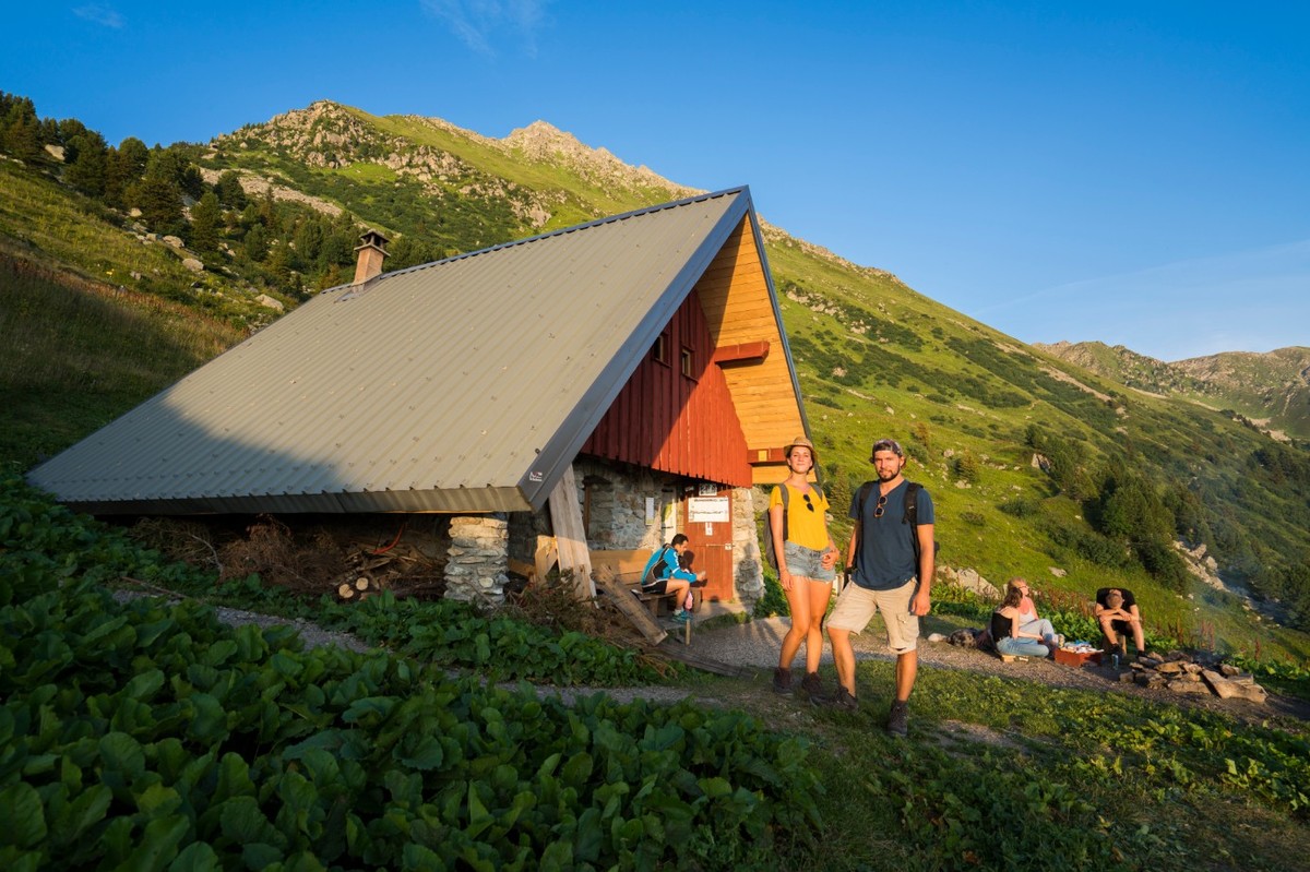
The climb from Le Pontet to the Col du Champet is mainly forested. The ridge above Chalet d'Arbaretan offers magnificent views of Mont Blanc. The ascent to Col de la Perche and then to the summit of Chapotet offers a bird's-eye view of the Grande Montagne de Presle and Verneil mountain pastures. These are home to local herds of heifers and suckler cows, from June to October. For a long time, these pastures were successful and popular, but the decline in livestock farming from the 1940s onwards and the abandonment of many alpine pastures led to a decline in dairy pastoral activity. Today, there are very few dairy pastures in Belledonne. As a result, the pastoral chalets on the Savoyard side are seldom used, as farmers go up to see their herds for the day before returning to their farms. The descent to the Gargoton springs and the ascent to the Col de la Perrière via the Combe de l'Arbet neuf is very wild and unspoilt.
Recommended equipment :
Hiking shoes
Depending on the weather: hat or cap, sunscreen, sunglasses and/or rain gear, walking sticks, meat bag, flashlight, toiletries, warm fleece, hat in cool weather (windbreaker, Gore-Tex, etc.).
Rucksack with water bag or 2-liter water bottle
Snacks
-
Stage 2: Le Pontet - Refuge de La Perrière GR®738
73110 LE PONTET
Route
- Languages: Fr
Step by step
From the Pontet marsh, take the path through the forest, past the "baraque à Michel" and on to the Col du Champet. Follow the ridge to Col de la Perche, overlooking the Arbaretan mountain pasture. Descend to the Gargoton springs, climb to the Col de la Perrière and continue to the refuge of the same name.
Rates
Free access.
Opening periods
From 15/06 to 15/09 daily.
Subject to favorable snow and weather conditions.
Equipments and characteristics
- Pets allowed
Track characteristics
- Distance:
- 17 km
- Positive level difference:
- 1805 m
- Daily duration:
- 7 h 10 min
- Level:
- Level red – hard
- Type:
- One way


