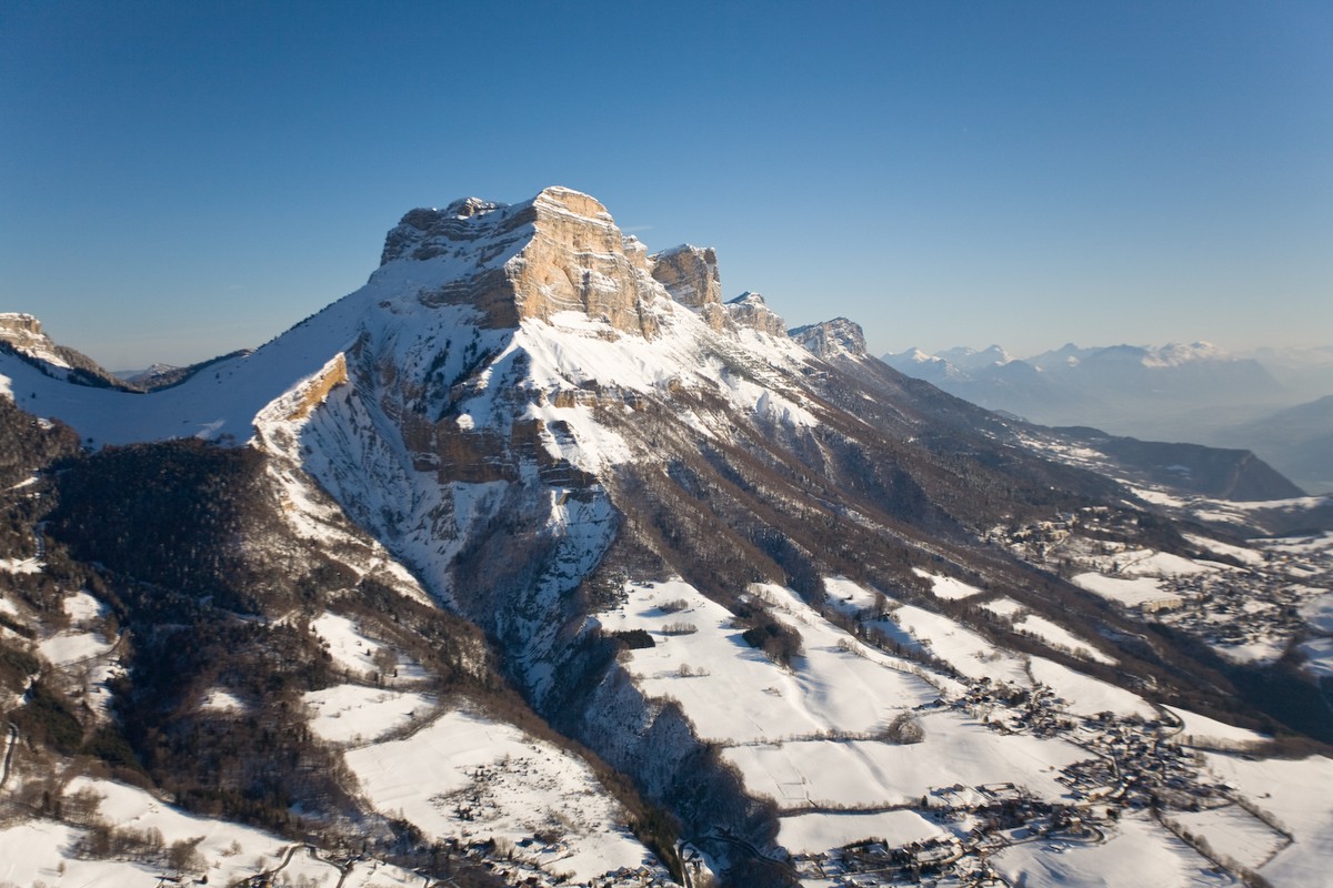
Itinéraire raquettes - Balcon de Roche Rousse
Loop from the village of Sappey under the cliff of Chamechaude (the highest point of the Chartreuse), the cliff of Roche Rousse.
-
Itinéraire raquettes - Balcon de Roche Rousse
Départ / Arrivée : Foyer de fond
38700 LE SAPPEY-EN-CHARTREUSE
Route
- Languages: Fr
Step by step
From the Croix du rocher, above the cross-country ski hostel parking lot, take the path between the two houses and follow it. At the end, go through an opening in the fence and climb up through the meadow, following the signs. Once you're on the main track, take the opposite path up to the junction at Monjalat. Continue uphill to Montjalat le haut.
Take the left-hand path into the forest. Take advantage of a clearing to admire the Roche Rousse cliffs. At the next junction, turn left to pass above the hamlet of Churut. Continue to return to Monjalat.
Then take the path following the GR down to La Charmette, not far from the starting point.
Rates
Free access.
Opening periods
From 01/12 to 31/03 daily.
Subject to favorable weather.
Equipments and characteristics
- Pets allowed
Access
Bus N62, départ "Notre Dame Musée" à Grenoble - Arrêt "Sappey place"
- Latitude: 45.258213
- longitude: 5.779355
Environnement
- Close to a public transportation
- Bus stop < 500 m
Track characteristics
- Distance:
- 6 km
- Positive level difference:
- 300 m
- Daily duration:
- 2 h 30 min
- Level:
- Level bue - Medium
- Type:
- Loop
