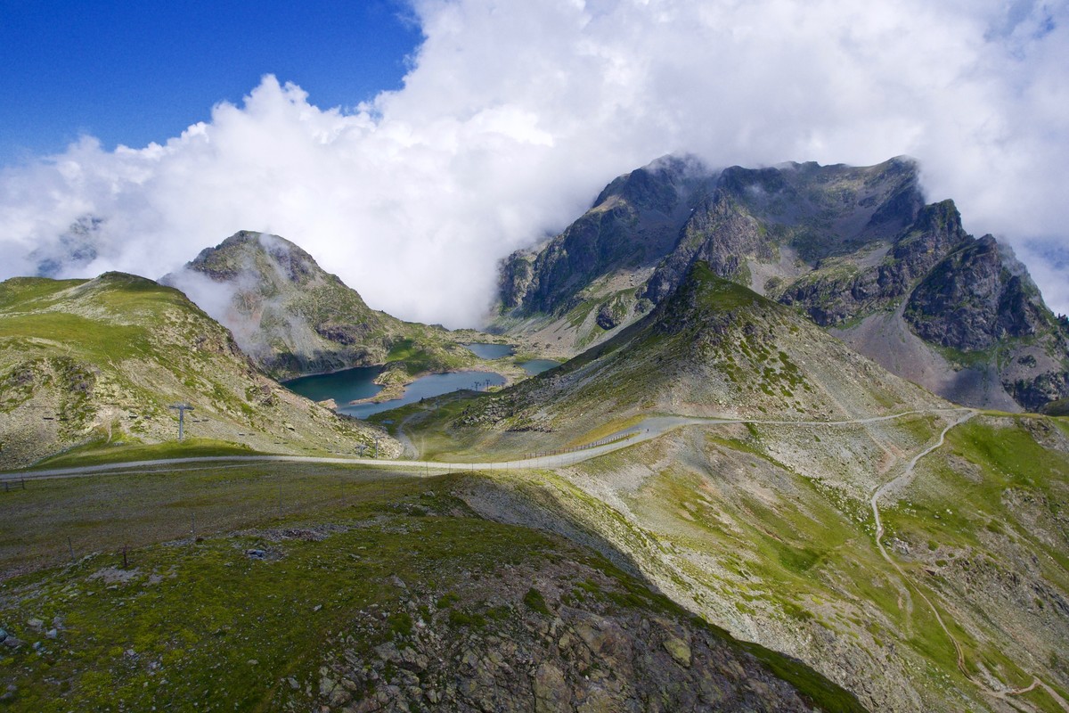
Big tour of Chamrousse running trail
Black level running trail in Chamrousse.
Departure: Tourist Office 1650 - Recoin.
Loop: Chamrousse 1650 – Vallons lake – Robert lakes – Chamrousse 1650.
Read more Read less
Very difficult running trail.
Estimated running time for an average speed of 7km/h.
Rates
Free access.
Opening periods
From 15/06 to 30/09 daily.
Equipments and characteristics
- Pets refused
Access
Station road access from Grenoble: Rocade Sud > exit no. 2 "Uriage" > Route départementale 111 (RD 111) Seiglières side.
Recommended parking: Parking Henry Duhamel (P7), avenue Henry Duhamel (200 m, approx. 2-minute walk).
Public transport - Chamrousse 1650 - Recoin stop:
- regular bus service all year round: N93 (to/from Grenoble), "Chamrousse 1650" stop (merging former T87, Transaltitude, Destination neige Skibus / nature Estibus 707)
Good to know - another stop less than 500m away (Place de Belledonne, near the Tourist Office):
- transport by reservation on weekdays excluding public holidays: Flexo 57 (to/from Uriage), "Chamrousse - Le Recoin" stop (former TAD TouGo - line G701)
- Latitude: 45.125603
- longitude: 5.879115
Environnement
- Mountain location
- Ski resort
- Close to a public transportation
- Bus stop < 500 m
Track characteristics
- Level:
- Level black - very hard
- Type:
- Loop
