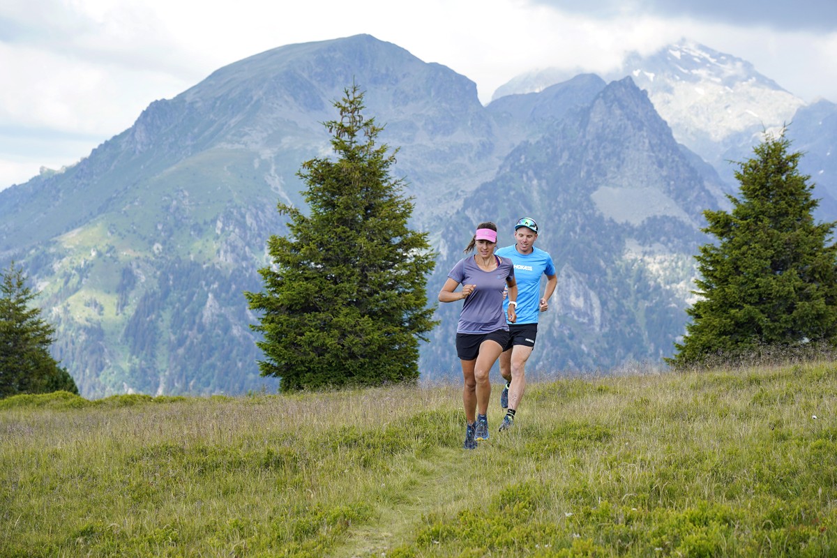
Chamrousse loop running trail
Blue level running trail beetwen the two main resort areas of Chamrousse.
Departure: Tourist Office 1650 - Recoin or Tourist Office 1750 - Roche Béranger.
Loop: Chamrousse 1650 – Chamrousse 1750 – Lac des Vallons – Col de Balme – Chamrousse 1650.
Read more Read less
Intermediate running trail. Estimated running time for an average speed of 7km/h.
Rates
Free access.
Opening periods
From 15/06 to 30/09 daily.
Equipments and characteristics
- Pets refused
Access
Resort road access from Grenoble: Rocade Sud > exit no. 2 "Uriage" > Route départementale 111 (RD 111) Seiglières side for Chamrousse 1650 - Recoin or Luitel side for Chamrousse 1750 - Roche Béranger.
Public transport :
- regular bus service all year round: N93 (to/from Grenoble), stop "Chamrousse 1650" or "Chamrousse 1750" (merger of former T87, Transaltitude, Destination neige Skibus / nature Estibus 707)
- transport by reservation on weekdays excluding public holidays: Flexo 57 (to/from Uriage), stop "Chamrousse 1650 - Le Recoin" or "Chamrousse 1750 - Roche Béranger" (former TAD TouGo - line G701)
- Latitude: 45.125947
- longitude: 5.879119
Environnement
- Mountain location
- Ski resort
- Close to a public transportation
- Bus stop < 500 m
Track characteristics
- Level:
- Level bue - Medium
