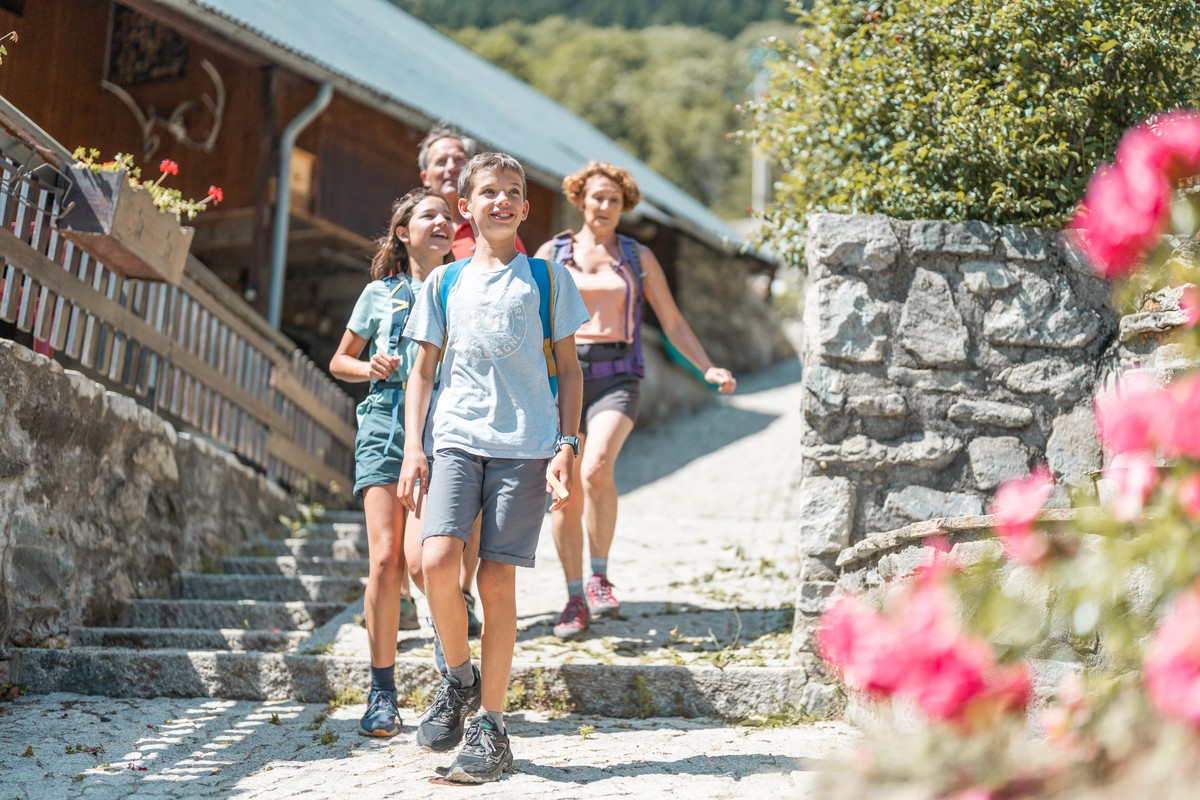
Summer hike : La Villette
This easy hike introduces you to Vaujany and its highest hamlet: La Villette. A journey to the heart of rural life in the past, a time not so long ago, will be told to you with anecdotes.
Read more Read less
16/02/2026: Due to a high risk of avalanches, the trail is closed.
Trail conditions as of 14/02/2026: Snowy at the start from Rochas, becoming muddy further along, then packed snow up to Villette.
Practical advice: Easily walkable in hiking boots. Streets and alleys in the villages of Vaujany and Villette are well cleared and easily passable.
Trail Notes – Cultural & Natural Highlights
Origin of the name: According to Abbé Bayle, “the reddish hue of the rocks, lit by the last rays of the sun, gave the Grandes Rousses massif its name.”
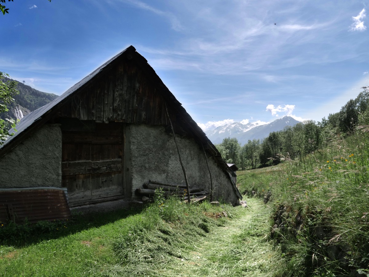
La Fare waterfall: Descending from the lake at 2800 m, the waterfall can be visited on a future easy hike.
Dry stone walls (clapiers): Lining the trail, these walls were built from stones cleared from fields to grow rye, barley, oats, potatoes, and cabbage. They marked fields and property boundaries.
Life in Vaujany, 1900: The village had 1,000 inhabitants who relied on farming and livestock. Fields were cultivated up to 1500 m, and forests were sometimes burned to gain new land, giving rise to the nickname “wolf burner,” later adopted by Grenoble’s hockey team.
Seasonal work: In spring, soil moved by snow over winter was carried back to fields. Beech shoots were gathered (“making the leaf”): leaves fed livestock, and wood was used for fires.
La Villette: You now overlook this small hamlet (“little town”), which the trail passes through on the return.
Advice :
- Check the weather conditions before you leave.
- In case of emergency call 112.
- Adapt your clothing to the activity: bring good walking shoes, a windbreaker and a cap ....
- Bring snacks and water.
-
Summer hike : La Villette
Départ Office de Tourisme de Vaujany
38114 VAUJANY
Route
- Languages: En Fr
Step by step
From the tourist office square, head towards the road, in the direction of the bakery. Before the bakery on the right there is a small alleyway leading upwards. Take it. Always take the uphill path on the left. At the top, you will see the sign for Chemin de l'étendard. Turn right and you will reach the road. Continue uphill. Leave the road to Rochas and in the bend an alley goes straight on, called the "grand chemin", follow the yellow markings. Follow the main road again, up to the top. There, in front of you, a path in the grass goes ahead of you, yellow signs indicate the beginning of the path towards La Villette. Follow this well-marked path through the fields. Continue straight ahead, you arrive at the top of the hamlet of La Villette. You continue following the wooden signs, indicating the Collet. When you arrive at the Collet, you will find a restaurant, and behind a pump track, you follow the road behind, downhill. The road continues, and go straight downhill, you always follow this road track, until the intersection where you find yellow signs indicating Vaujany, La Villette and plan du moulin. You take this direction, on the right. You enter the hamlet of La Villette by the mill. Then you continue, to arrive in the heart of the village, the common oven on the right. The centre of Cote Belle is on the left, at the entrance to the village. Take the time to walk through the hamlet via these small streets. To return to Vaujany, take the road, and at the end of the hairpin bend take the path down to the left. It takes you back to the bottom of the resort. To return to the tourist office, turn right, the loop is complete!
Rates
Free access.
Opening periods
Subject to favorable weather.
Equipments and characteristics
- Pets allowed
Track characteristics
- Distance:
- 5 km
- Positive level difference:
- 195 m
- Daily duration:
- 1 h 30 min
- Level:
- Level green – easy
- Type:
- Loop
