Boucle vélo du Bois Français
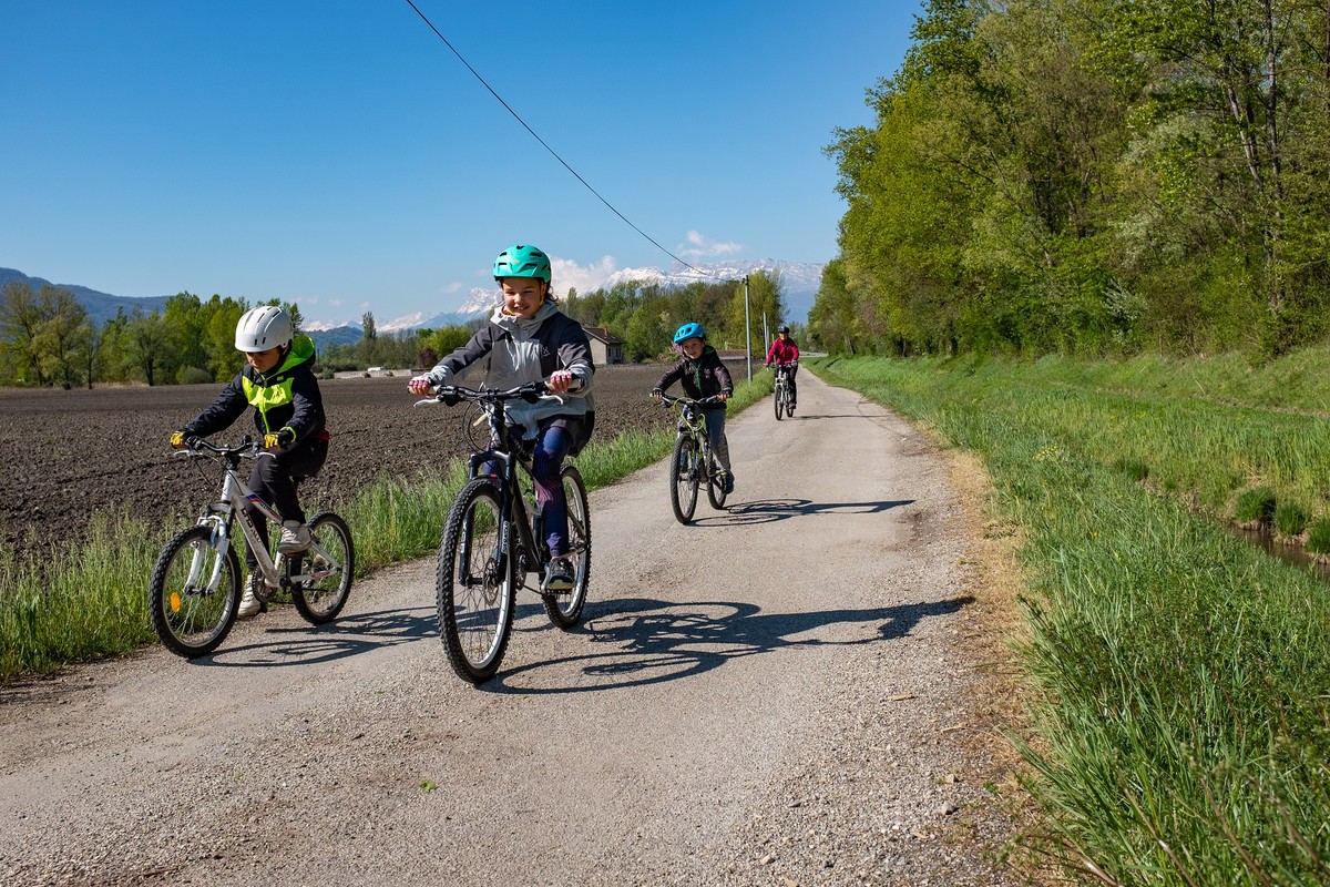
 From 7 years
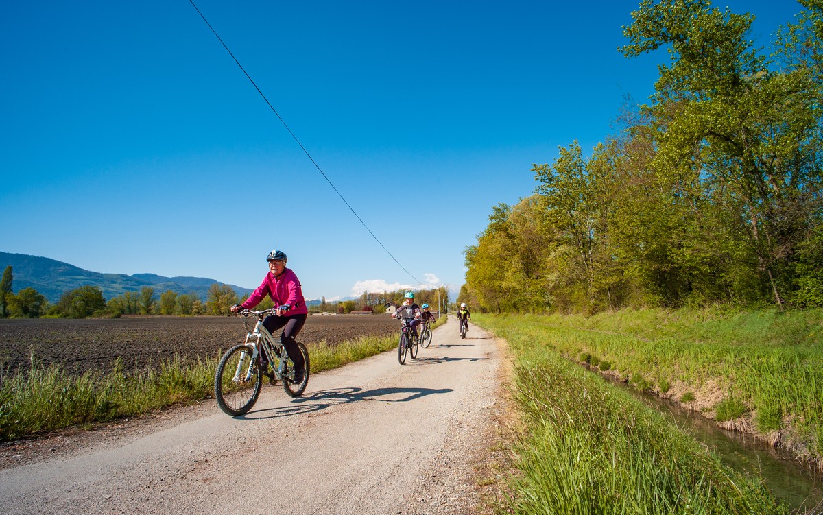
A flat loop for the whole family. Unsuitable for road bikes, it can also be ridden on gravel.

-
Boucle vélo du Bois Français
Parking - Chemin de la Charrière d'Enfer
La Taillat
38240 MEYLAN
Route
- Languages: Fr
Step by step
Not far from the start of the greenway along the banks of the Isère, your walk begins in the heart of the agricultural plain to the east of the Grenoble urban area. Free parking makes it easy to meet up.
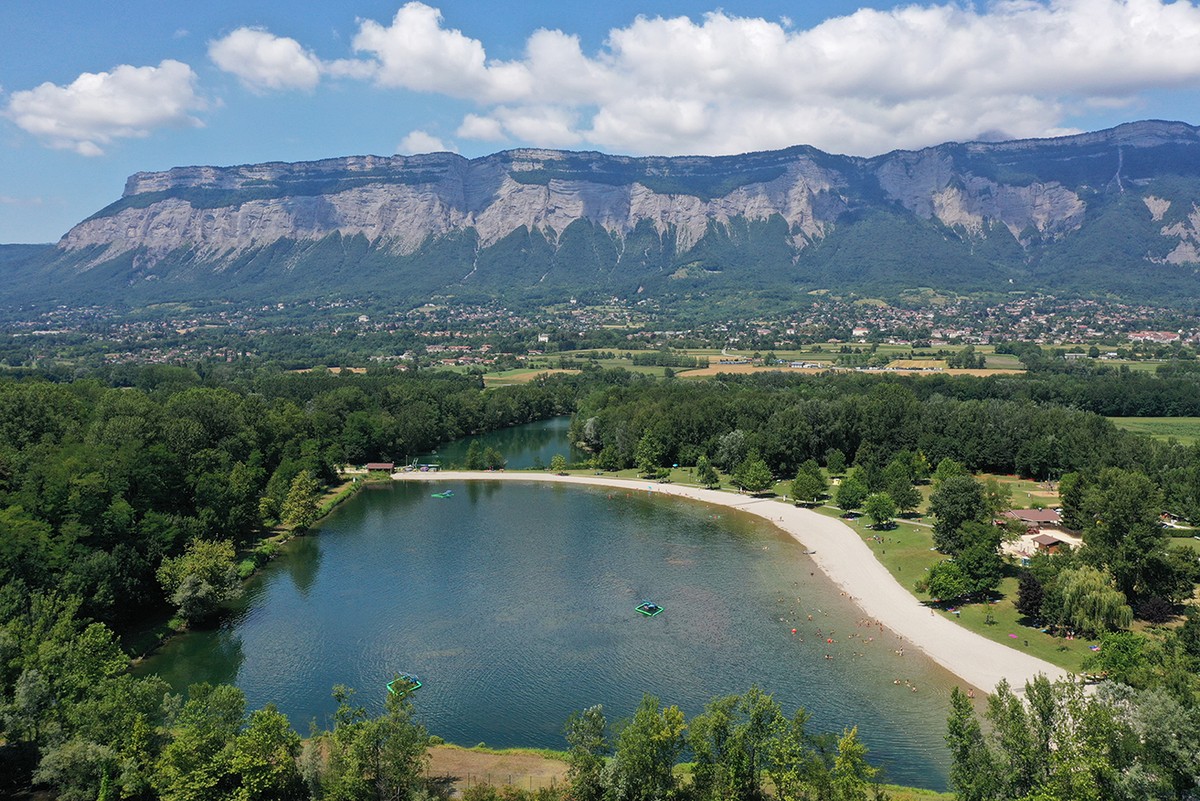
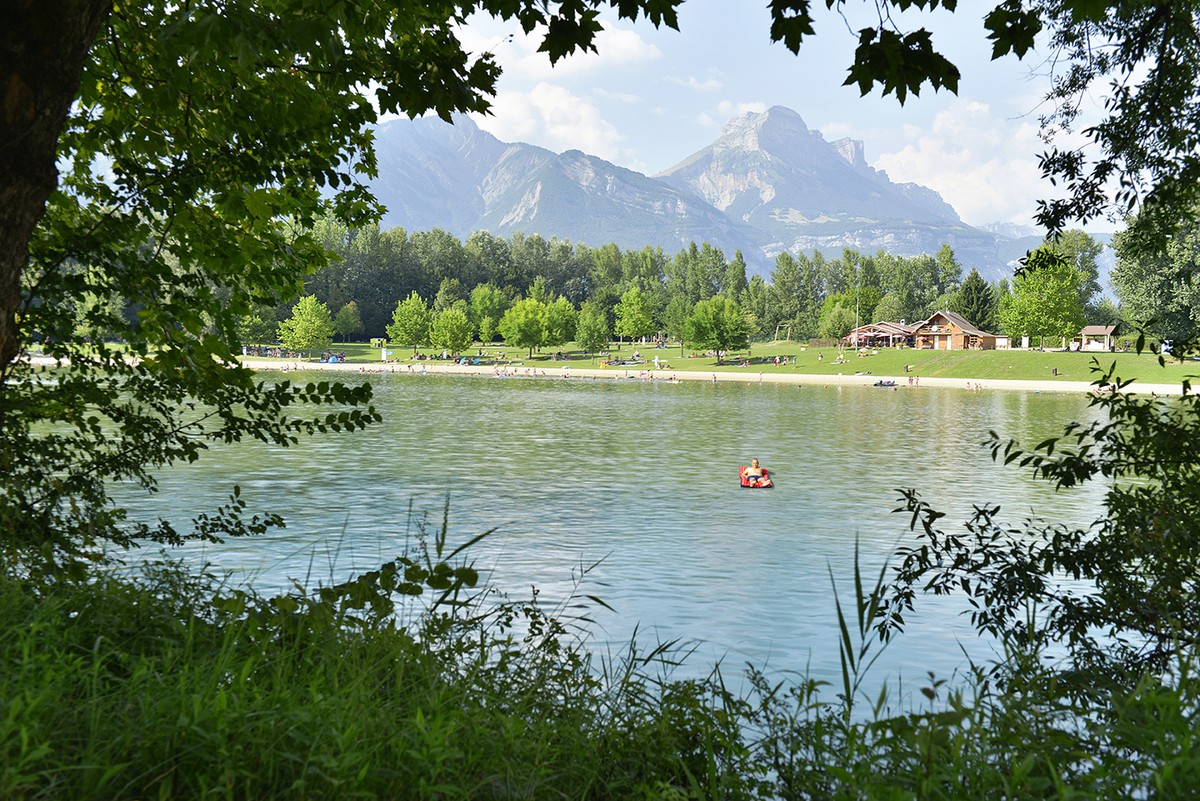
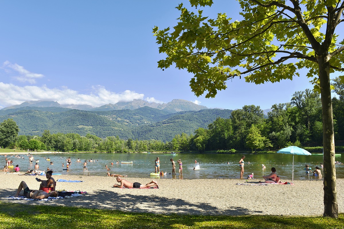
The first section of this gentle itinerary follows a stretch of greenway, allowing you to follow the Isère eastwards at your leisure. You then leave the water's edge to join the shady surroundings of the Bois Français leisure park. Finally, you'll make your way back to your starting point on little-used paths through the fields.
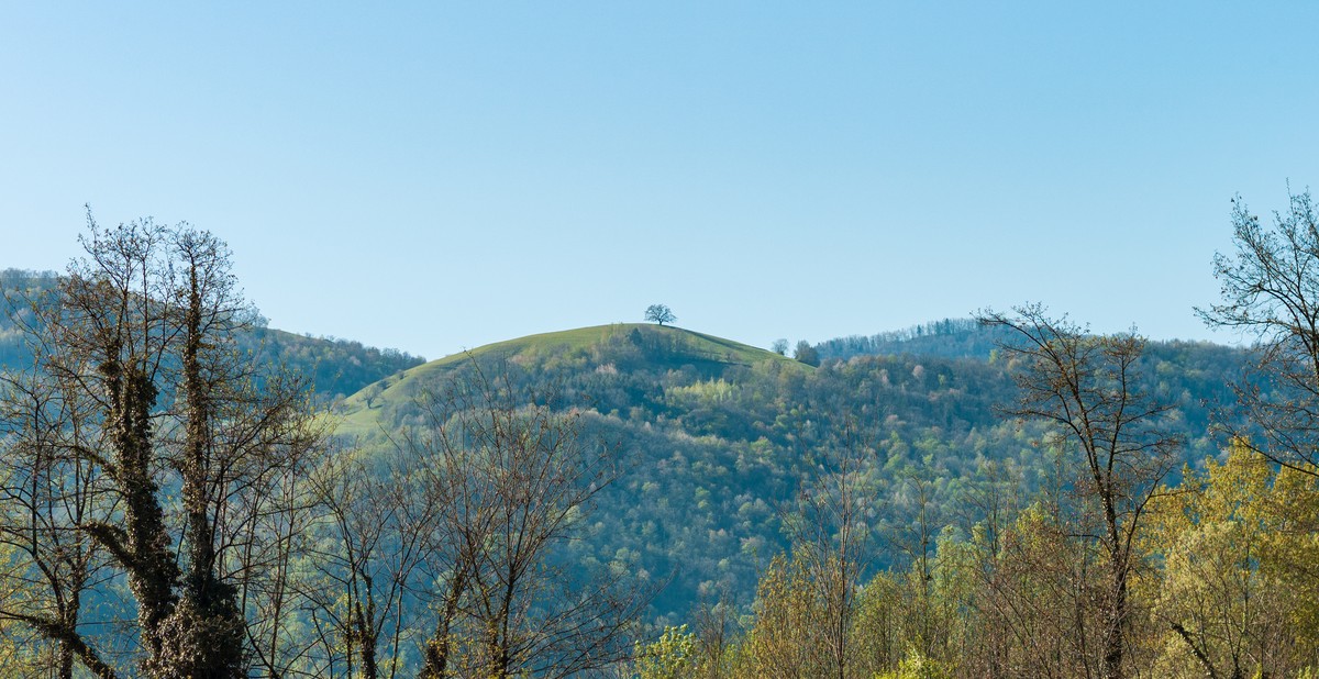
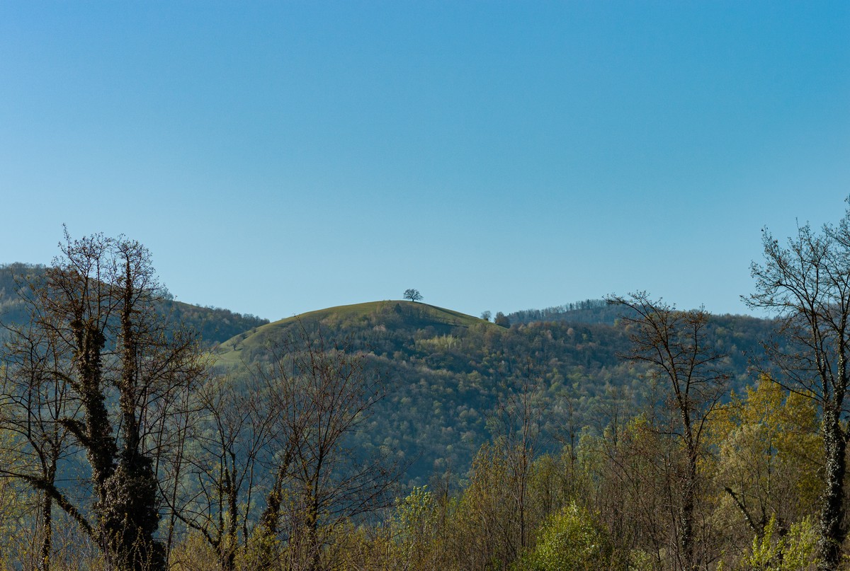
This loop is dedicated to nature lovers, who will be able to orientate their walk thanks to clearly visible landmarks. Along the banks of the Isère, on your right you'll see the Venon oak, which has guided travellers through the Grésivaudan valley for centuries. As you leave the riverbanks, aim for the summit of the Dent de Crolles, then skirt the foothills of the Chartreuse massif, where the sun's shades change according to the time of day.
From the parking lot, head north up the Chemin de la Charrière d'Enfer.
Turn right onto Chemin des Agriculteurs. 170m further on, turn right again to take the greenway along the banks of the Isère, which opens up on your left, towards Domene, Bois Français, for 5km.
Leave the voie verte by turning left, allée Félix Picard, towards Bois Français. Follow the parking lots on your left, then continue straight ahead on the unpaved path after the milestone.
Take the Chemin des Îles (closed by a green gate) on your left, which bends to the right 350m further on.
Turn left onto Chemin des Communaux, which runs alongside the A41 motorway.
Leave the Chemin des Communaux and continue straight ahead on the cycle path in front of you (towards Berges de l'Isère, Bois Français).
Carefully cross the Route de Domene (D11) and take the Chemin des Cantines (direction Montbonnot, Inovallée).
Continue your walk in the direction of travel on the Chemin des Agriculteurs, which runs alongside the A41 for 800m, crosses the Chantourne canal at an angle to the left, then runs alongside the A41 again.
Continue on the Chemin des Agriculteurs and then, 900m further on, on the Chemin de la Taillat, which heads south, slaloming between farm plots.
Take the Chemin de la Charrière d'Enfer on your left to reach your starting point.
Rates
Free access.
Opening periods
All year round.
Subject to favorable weather.
Equipments and characteristics
- Pets allowed
Track characteristics
- Distance:
- 15 km
- Positive level difference:
- 51 m
- Daily duration:
- 1 h 30 min
- Level:
- Level green – easy
- Type:
- Loop


