Saint-Eynard Fort
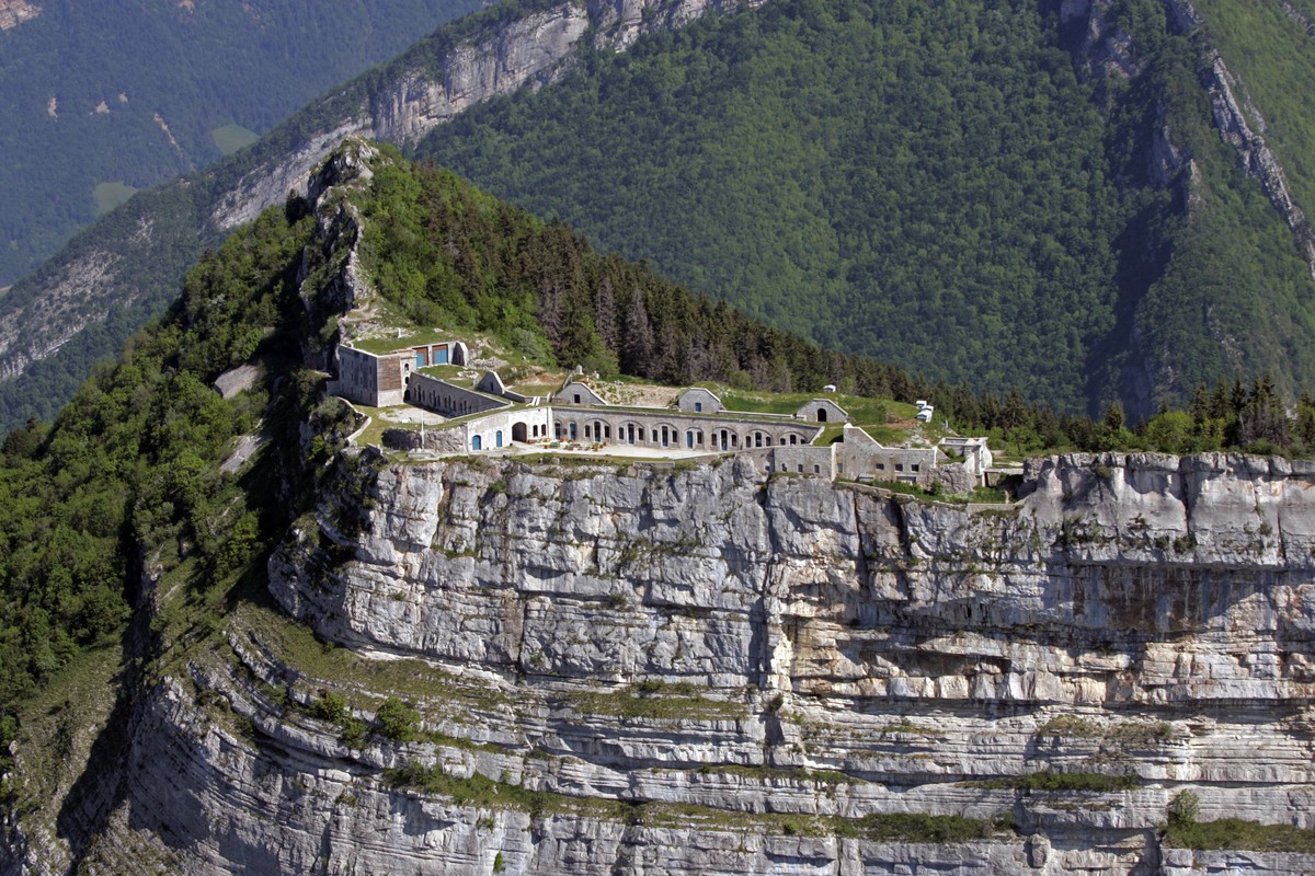
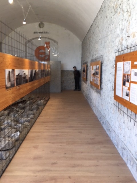
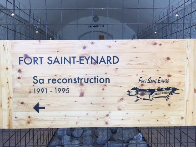
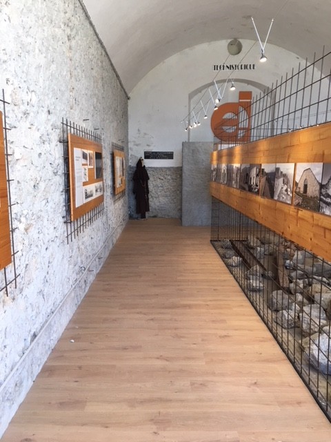
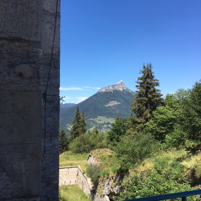
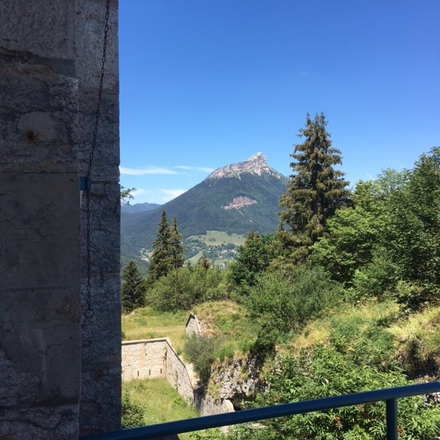
Rehabilitated between 1991 and 1995 and open to the public, the Saint-Eynard fort offers a beautiful view of the Belledonne massif, the Grésivaudan valley and Grenoble. A permanent exhibition on the life of the garrison at the fort awaits you.
Read more Read less
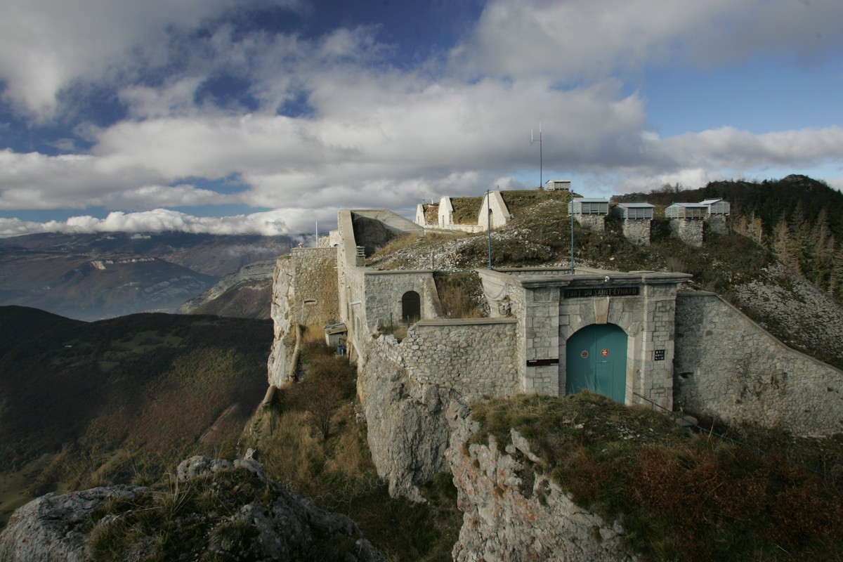
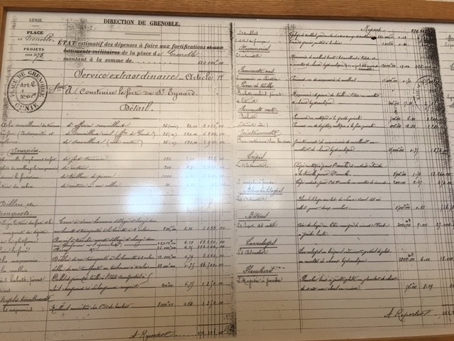
The technological evolution of artillery during the 19th century forced the military authorities to review the defensive system at the national level. From then on, the defense of the territory was organized around a series of separate forts that crossed each other. Grenoble's defense, also linked to the creation of the new kingdom of Italy in 1861, was ensured by the forts of Saint-Eynard, Bourcet, Quatre-Seigneurs, Montavie, Mûrier and Comboire, to which were added several artillery batteries such as Quichat and Néron. The fort of St Eynard controlled the roads crossing the Chartreuse, thanks to 25 artillery pieces and a garrison of 477 men.
Parking for 1 coach at 100 meters, site accessible from the parking lot for people with reduced mobility, group drop-off possible.
2 sanitary facilities on the site, one of which is for people with reduced mobility.
Groups of children minimum 5 / maximum 10

-
Saint-Eynard Fort
Fort du Saint Eynard
Mont Saint Eynard
38700 LE SAPPEY-EN-CHARTREUSE
Route
- Languages: En Es Fr
Rates
Means of payment- Cash
- American Express
- Bank/credit card
- Currency
- Check
Free access.
Minimum reservation of 24 hours in advance
Opening periods
From 01/05 to 31/05, every thursdays, fridays, saturdays and sundays between 12 PM and 6 PM.
From 01/06 to 31/08 between 12 PM and 6 PM.
Closed on monday.
From 01/09 to 31/10, every thursdays, fridays, saturdays and sundays between 12 PM and 6 PM.
Equipments and characteristics
- Pets refused
- Parking
- Accessible for wheelchairs with assistance
- Meeting rooms quantity: 3
Access
From Grenoble, take the D512 in the direction of Col de Porte, at the entrance of Le Sappey, turn right in the direction of the Fort and continue 3 km in the forest (the road is closed in winter).
- Latitude: 45.234858
- longitude: 5.763263
Environnement
- Close to GR footpath
- Isolated
- Mountain view


