The Durand farm in crossing
Located on the foothills of the Vercors, this rather sportive crossing will allow you to admire the very beautiful landscapes of the city and the south of the Chartreuse. Easily accessible by public transport.
-
The Durand farm in crossing
Château de Sassenage
38360 SASSENAGE
Route
- Languages: Fr
Step by step
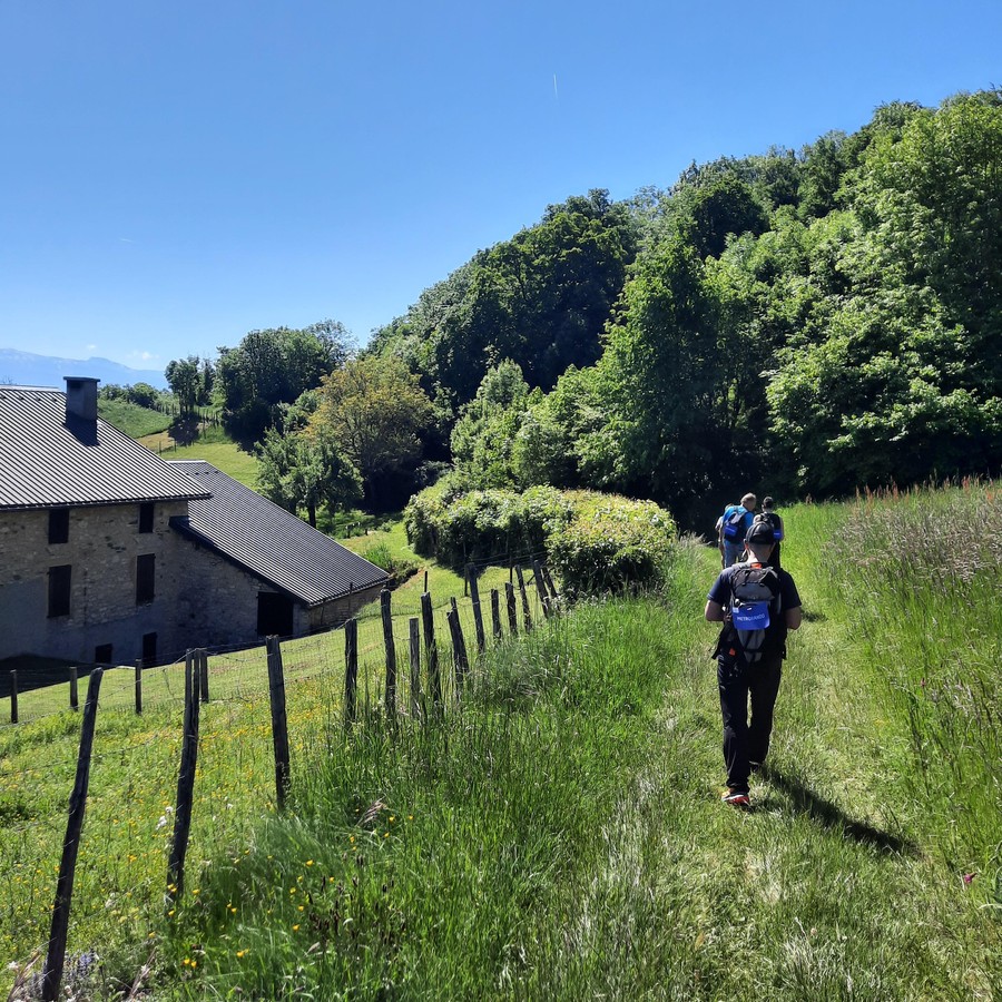
This one-way hike starts at Château de Sassenage, heading towards the cliffs of the Vercors and its famous anticline overlooking the town. Skirt the park to the left and head towards Rivoire de la Dame. On the way, you'll pass the gates of the magnificent Château de Beaurevoir, whose park you'll then skirt.
Continue uphill towards Les Gorges, the coast, then Pont Charvet and its memorial, steeped in the history of the Second World War. You'll start off on a good, safe path that runs alongside the cliff.
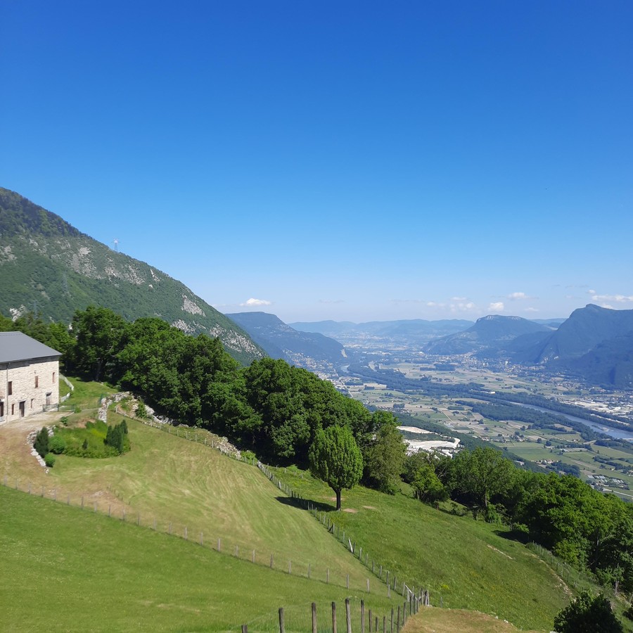
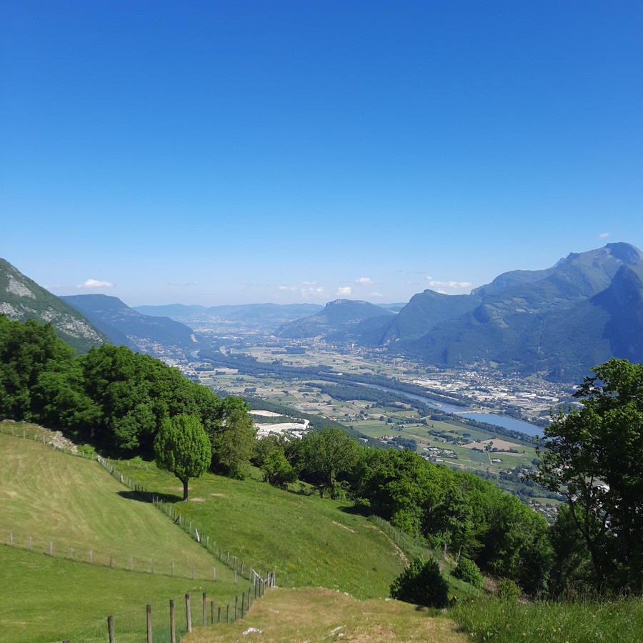
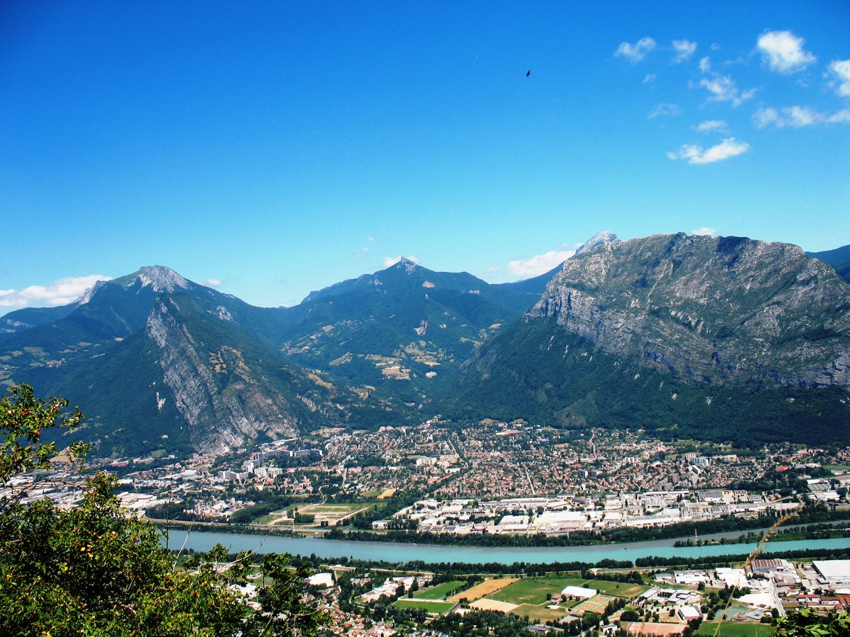
The path then goes deep into the forest for a long climb, bending near the Durand farm, at 850m altitude. During the break, you'll be able to take some great photos of the wide panorama of the Chartreuse and the Belledonne massif, overlooking the Grenoble conurbation. The descent takes place on your left, on the eastern slope, among oaks, beeches and many other plants illustrating the richness of this area. At around 460m, at the crossroads, head towards the coup de sabre, whose name evokes the narrow passage between 2 rocks: a geological curiosity. All that remains is to cross the hamlet of La Poya.
Take time to admire the beautifully restored sundial (in the hamlet of La Poya, rue de l'Abbé Vincent on the right as you descend). Take the streetcar to the A terminus, along the beautiful Parc de La Poya. You can also reach Sassenage by taking the street along the cliff.
Tour stages :
Château de Sassenage / Château de Sassenage 205m / Sassenage Village / Beaurevoir / Les Gorges / Pont Charvet / Fonds Bonnier / Combe Curte / Ferme Durand / Ferme Durand 850m / Bois des Vouillants / Le Coup du Sabre / La Poya / Fontaine la Poya
Rates
Free of charge.
Opening periods
All year round.
Subject to favorable weather.
Equipments and characteristics
- Pets allowed
Access
Departure : Access by bus 20/50/54 stop "Sassenage Château
Arrival at the Tram A terminal "Fontaine La Poya
- Latitude: 45.211000
- longitude: 5.660498
Environnement
- Close to a public transportation
- Bus stop < 500 m
Track characteristics
- Distance:
- 9 km
- Positive level difference:
- 730 m
- Daily duration:
- 4 h 15 min
- Level:
- Level bue - Medium
- Type:
- Loop


