Hiking in the pond of Jarrie
Starting from the Robert Buisson park, in Echirolles, this itinerary will lead you through the green bangs to the Jarrie pond
Read more Read less
In Echirolles village (wooden hall), take the direction of the pond of Haute-Jarrie by the combe de la Gouderie. The itinerary follows a wide forest track which is very busy (sporty course).Combe de La Gouderie - Take on the right the hollow way going up. It passes La Savoyarde, La Gouderie. Continue towards the pond of Haute-Jarrie, going down by Le Rucher and Champ Courbat, then turn left to the pond (nature reserve). On the way back, go back to Champ Courbat. Continue straight ahead in the direction of Echirolles village and La Carrière. This forest road dominates the combe of Champagnier, and passes by the Combe, the Blaches, the Châtaigneraie.at Saint Jacques go straight on and take on the right the rue du Souvenir and return to the starting point.
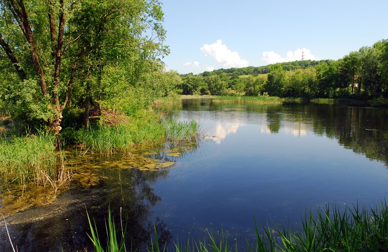
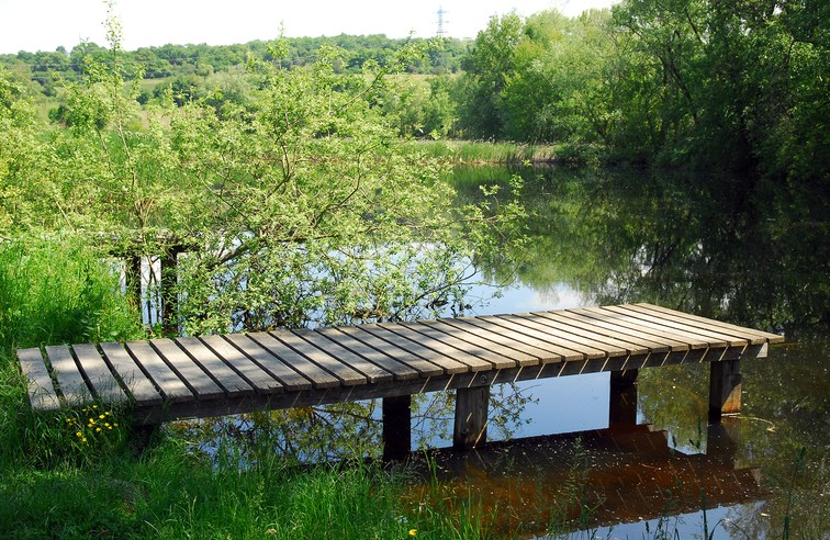
NATURAL HERITAGE: THE REGIONAL NATURAL RESERVE OF THE POND OF HAUTE-JARRIE is located on the plateau of Champagnier. Occupying 10 ha, it consists of a small natural lake of glacial origin, wooded islands, a reed bed and peripheral wet meadows. For the birds, 150 species have been counted on the site, among which are some prestigious nesting birds: little bittern, turd fox or purple heron. In the axis of the alpine furrow, the pond is also a regular stopover for many migrants and winterers: common teal, common snipe, harriers, great egret, moustac tern. The peripheral wet meadows are home to the discreet nationally protected gratiola officinalis, the water germander and the common pigamon. In the open water, the small bladderwort floats. Above or in the adjacent meadows, one can discover rare dragonflies and butterflies. The herpetological interest is not less with eight species of reptiles and amphibians.
-
Hiking in the pond of Jarrie
Départ : parc Robert Buisson, à Echirolles
38560 JARRIE
Route
- Languages: Fr
Rates
Free of charge
Opening periods
Throughout the year : open daily.
Equipments and characteristics
- Pets allowed
Access
ACCÈS TRAM : tram A arrêt “Auguste Delaune“
- Latitude: 45.140461
- longitude: 5.725451
Environnement
- Close to a public transportation
- Bus stop < 500 m
Track characteristics
- Distance:
- 8 km
- Positive level difference:
- 310 m
- Daily duration:
- 3 h
- Level:
- Level bue - Medium
- Type:
- Loop


