Hiking in the pond of Jarrie
Starting from the Robert Buisson park, in Echirolles, this itinerary will lead you through the green bangs to the Jarrie pond
-
Hiking in the pond of Jarrie
Départ : parc Robert Buisson, à Echirolles
38560 JARRIE
Route
- Languages: Fr
Step by step
At Echirolles village (wooden market hall), head for the étang de Haute-Jarrie via the Combe de la Gouderie. Combe de La Gouderie - Turn right onto the sunken path leading uphill. It passes La Savoyarde, La Gouderie. Continue towards the Etang de Haute-Jarrie, descending through Le Rucher and Champ Courbat, then left to the pond (nature reserve). Return to Champ Courbat. Continue straight on towards Echirolles village and La Carrière. At Saint Jacques, go straight ahead and turn right into rue du Souvenir, returning to the starting point.
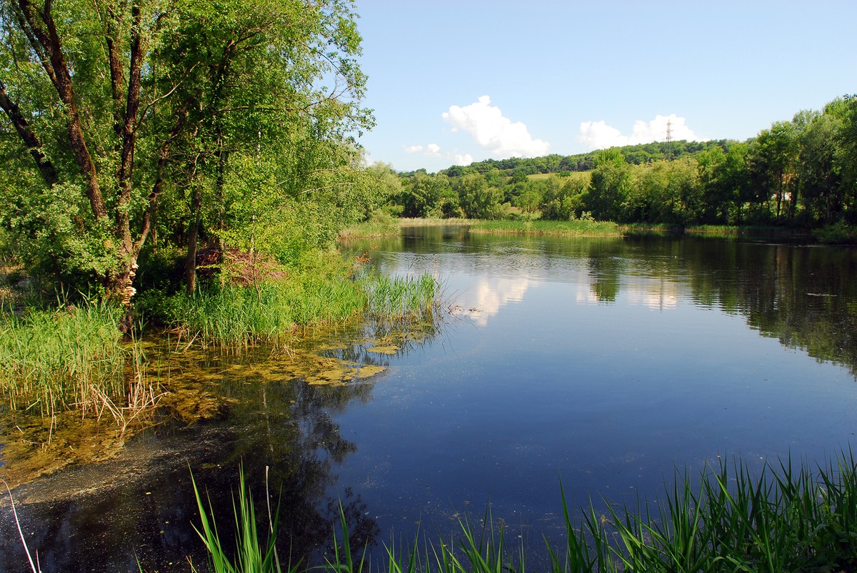
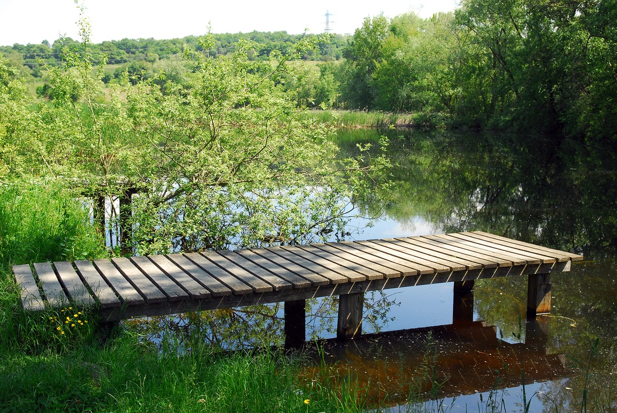
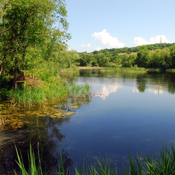
NATURAL HERITAGE: THE REGIONAL NATURAL RESERVE OF L'ÉTANG DE HAUTE-JARRIE is located on the Champagnier plateau. Occupying 10 ha, it comprises a small natural lake of glacial origin, wooded islands, a reedbed and surrounding wet meadows. As far as birds are concerned, 150 species have been recorded on the site, including presti-gious nesters such as the Little Bittern, the Red-winged Warbler and the Purple Heron. In the axis of the Alpine furrow, the pond is also a regular stopover for numerous migratory and wintering birds: common teal, common snipe, harrier, great egret and whiskered tern. The peripheral wet meadows are home to the discreet, nationally protected gratiola officinalis, water germander and common pigamon. Small bladderwort floats in the open water. Rare dragonflies and butterflies can be found above or in the adjoining meadows. Herpetology is no less interesting, with eight species of reptiles and amphibians.
Rates
Free of charge
Opening periods
Throughout the year : open daily.
Equipments and characteristics
- Pets allowed
Access
ACCÈS TRAM : tram A arrêt “Auguste Delaune“
Ligne C3 en bus, arrêt "Le Village"
- Latitude: 45.140461
- longitude: 5.725451
Environnement
- Close to a public transportation
- Bus stop < 500 m
Track characteristics
- Distance:
- 8 km
- Positive level difference:
- 310 m
- Daily duration:
- 3 h
- Level:
- Level bue - Medium
- Type:
- Loop
See also
-
Réserve Naturelle de l’étang de Haute-Jarrie
View more

