The Jarrie-Champagnier interpretation trail

The interpretation trail is a 2½ hour walk through the villages of Jarrie and Champagnier.
Starting point: The Prieuré des Charbonnaux in Jarrie.
Leave your car at the cemetery car park and walk up towards the Eglise de Notre Dame des Charbonnaux. The monks who used to live in this 11th century priory were also winemakers.
Read more Read less
Leave your car at the cemetery car park and walk up towards the Eglise de Notre Dame des Charbonnaux. The monks who used to live in this 11th century priory were also winemakers.
Carry on to the departure point for the circuit découverte and follow signs for Le Saut du Moine. The Crey de Champagnier hillsides used to be covered in vines, but the winemaking ended with the phylloxera epidemic and lack of maintenance during the First World War. All that remains today is the path leading to the various plots of land, the walls of which are slowly crumbling away.
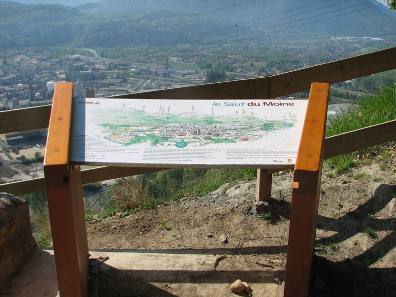
Continue up to the panoramic view at Le Saut du Moine.
Here, the legend behind the “Leap of the Monk” is explained: in the 17th century, a young monk named Jehan fell in love with a local girl, Marie. The young man passed himself off as a layman in order to attract his sweetheart. But one day, when the girl was setting off to pray in the church of Champagnier, she caught sight of Jehan in his habit and ran away. He tried to catch up with her, but the girl reached the edge of the rock overlooking the valley and threw herself off. The young monk just had time to catch the edge of her dress, before he too leapt into the void.
Back on the path, turn right towards Verney. You are now on Le Crey, which used to feature a windmill. Wolves used to live in this forest, but they disappeared during the 20th century, driven out by the locals.
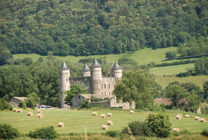
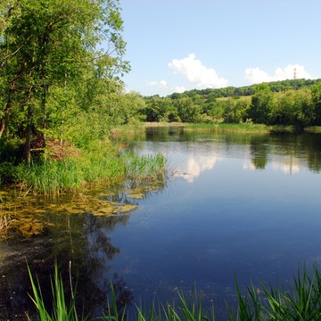
Once at Verney, carry on to the lake (Etang de Haute Jarrie). Walking over the fields, you will glimpse the Château de Bon Repos below, a stately home from the 15th century. The natural surroundings of the lake offer migrating birds an ideal resting place.
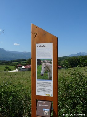
Return along the same path, before turning off towards Champagnier. You may come across some horse riders, as this plateau is home to over 450 horses.
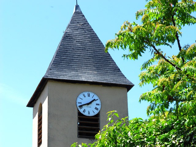
Follow the yellow markings to the village church, before following signs back to the Saut de Moine and then the car park along the same path you took at the outset.
-
The Jarrie-Champagnier interpretation trail
38800 CHAMPAGNIER
Route
- Languages: Fr
Rates
Free of charge
Opening periods
All year round.
Subject to favorable weather.
Equipments and characteristics
- Pets allowed
Access
BUS ACCESS: Flexo 71 line, "Champagnier : Place du Laca" stop
- Latitude: 45.101423
- longitude: 5.740716
Environnement
- In the country
- Close to a public transportation
- Bus stop < 500 m
Track characteristics
- Distance:
- 9 km
- Positive level difference:
- 250 m
- Daily duration:
- 2 h 30 min
- Level:
- Level green – easy
- Type:
- Loop
Good deal
All along the way, you'll find a series of information points introducing you to the special features of this region.
See also
-
Réserve Naturelle de l’étang de Haute-Jarrie
View more

