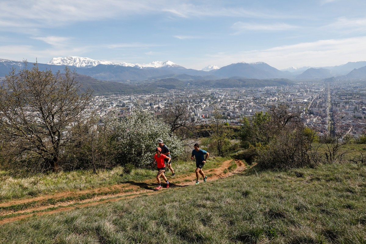
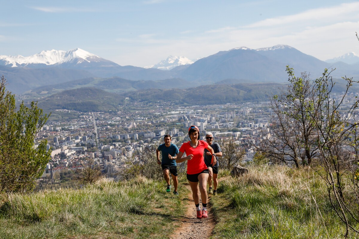
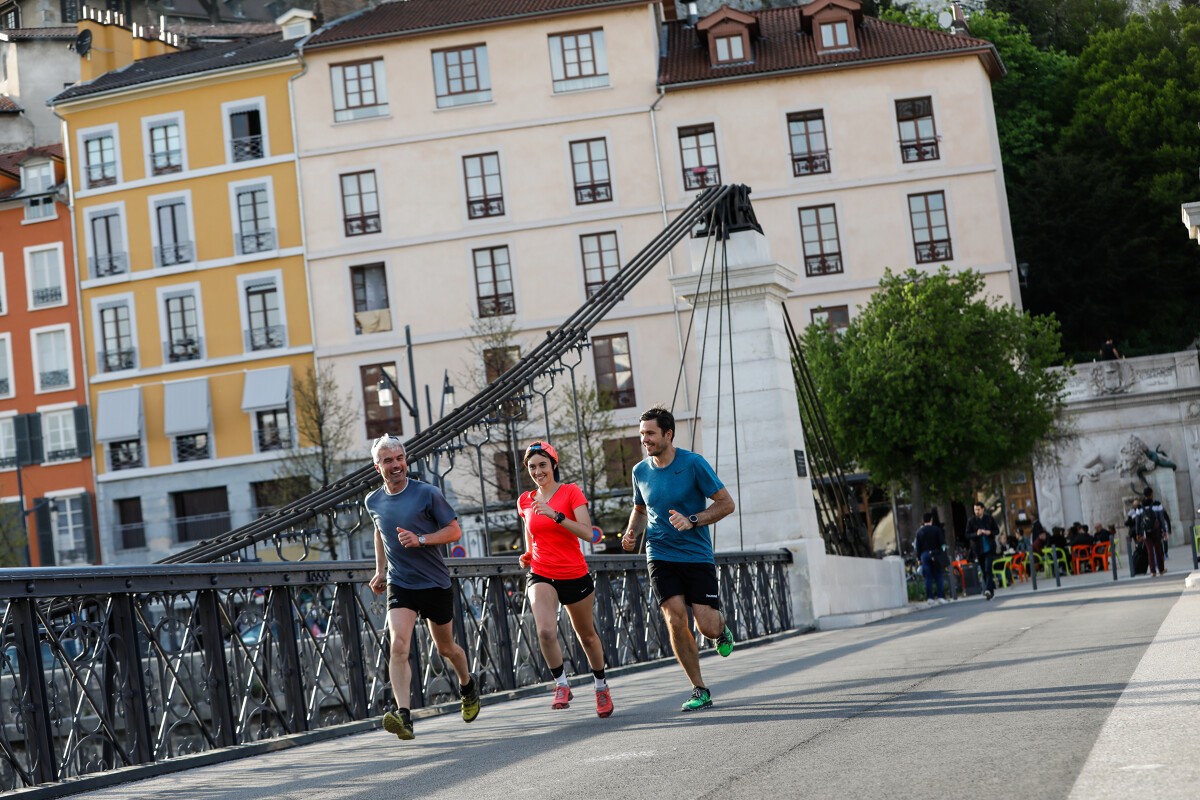
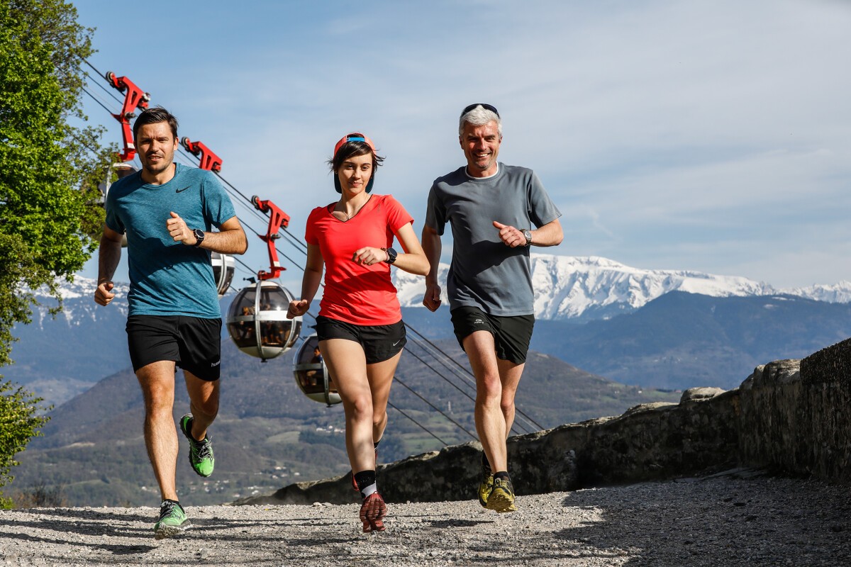
Trail path La Bastille - Le Col de Clémencières
The climb to La Bastille is not to be missed, but neither are the less busy singletrack paths that you'll follow from the top. Over the valley and Belledonne mountains, they offer stunning views stretching all the way to Mont Blanc.
Read more Read less
As you leave the "Relais de Rochebise" woods, you'll come to a cabin and, a few tens of metres further, the highest point of the itinerary, the "Bec Aigu". The descent offers a worthy technical challenge and requires caution on some of the steeper sections.
You'll find water at Porte Saint Laurent, Pied du Glacis and La Tronche Mairie
The calculation of the difficulty of each course takes into account the length, the positive vertical drop, the greatest continuous positive or negative vertical drop as well as the technicality of the terrain.
-
Trail path La Bastille - Le Col de Clémencières
Porte Saint-Laurent
38000 GRENOBLE
Route
- Languages: Fr
Rates
Free access.
Opening periods
All year round.
Equipments and characteristics
- Pets allowed
Access
The starting point is: from the Saint-Laurent Gate
Sign at the beginning of the access road to the Saint-Laurent Archaeological Museum
- Latitude: 45.198000
- longitude: 5.731700
Environnement
- Mountain location
- Close to a public transportation
- Bus stop < 500 m
Track characteristics
- Level:
- Level bue - Medium
- Type:
- Loop


