Beauregard by the Round Tower
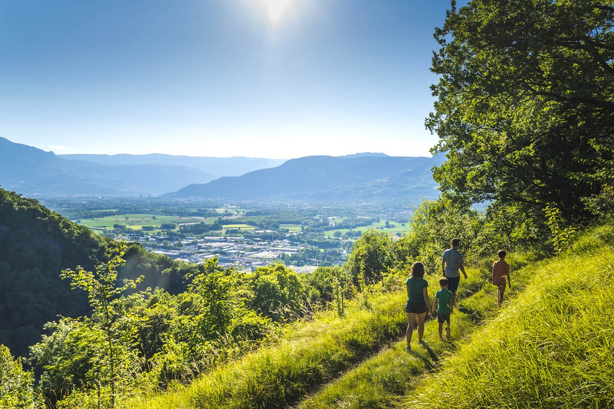
On the foothills of Belledonne, this itinerary, between valley and mountain,
takes you from an urban atmosphere to a country atmosphere. The descent from the Tour Ronde to Pierre Malore requires a little attention in its steep part.
Read more Read less
To start your hike, look for the Matussière hiking sign (alt. 247 m) on the north side of the parking lot, and take the "Montée de Belledonne" in the direction of Beauregard at 2.28 km. The markings you follow are yellow.
The road quickly becomes a small path that meets the road to Revel. Go up the road for 30 m to take on the right another asphalt section. Be careful with the traffic on the road to Revel. Under a building, the path leaves
to the left at the foot of a wall. You are now in the forest above Domène. Further up, you cross the road again to continue slightly to the left and reach the intersection of Pierre Malore (alt. 380 m). Continue
straight ahead towards Beauregard and the Grands Bois. When you arrive at the Grands Bois (alt. 460 m), turn right still towards Beauregard. You start a steep part under the spruces, and turn right in the middle of the ascent, to
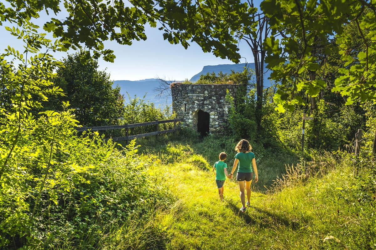
along the upper part of the meadows. After the meadows, as you reach the forest, turn right to go down quickly to the hamlet of Beauregard (alt. 480 m). Leave the houses on your left and continue towards the Tour
Round Tower. The path overhangs the road to Revel on your left, to arrive at a fork where you turn right to go up a bit, then go down again to reach the Tour Ronde (alt. 470 m). Continue your descent back into the
again in the forest, and find, after a last steep portion with some steps, the already visited intersection of Pierre Malore (alt. 380 m). You just have to take on the left the path you took during the ascent to come back to your starting point.
Points of interest :
- The Round Tower
- The view on the Grésivaudan
- The hamlet of Beauregard

-
Beauregard by the Round Tower
DÉPART : Matussière (alt. 247 m)
38420 DOMÈNE
Route
- Languages: Fr
Rates
Free of charge.
Opening periods
All year round.
Subject to favorable weather.
Equipments and characteristics
- Pets allowed
Access
PUBLIC TRANSPORTATION : line 15, stop " Domène Mairie ".
PARKING : from the Route de Revel (D11) in Domène
- Latitude: 45.201332
- longitude: 5.840407
Environnement
- Mountain location
- Close to a public transportation
- Bus stop < 500 m
- Forest location
Track characteristics
- Distance:
- 4 km
- Positive level difference:
- 250 m
- Daily duration:
- 1 h 45 min
- Level:
- For experts / practiced, Level green – easy
- Type:
- Loop
See also
-
Parc Naturel Régional de la Chartreuse
View more

