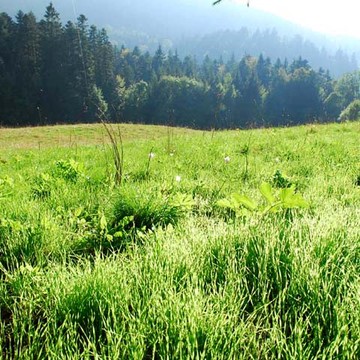
The forest of Combeloup from Murianette
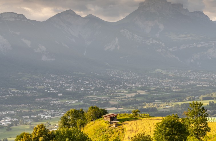
A walk that starts at the bottom of the Grésivaudan valley. The streams and resurgences are numerous, offering a little freshness to this walk in the forest.
Read more Read less
From the Murianette hiking sign (alt. 223 m), take the road towards the hamlet of Murianette, the "Montée du champ de la vigne", following the yellow signs. Pass in front of the town hall and continue straight ahead before turning left, in the direction of the Tour by the "chemin de l'Église", above a large bourgeois house. Still on the road, take the "montée de la Tour", and at the first hairpin bend, continue straight ahead to leave the asphalt. You go up the track to join, on your left, a gully until the fork of Roujard (alt. 405 m), where you continue your ascent on the right in direction of La Pérérée. Slightly higher up, the path passes over the Rivet stream to be on its right bank. After a slightly steep portion of the path, just before reaching the road, you are at the intersection Les Charmettes (alt. 510 m). Take the track that goes to the right towards Les Combes. This one goes down a bit to cross the left bank of the Rivet brook again, and reach the road. Turn left for 20 m to reach Les Combes (alt. 511 m). Take the road on the right, the "chemin de Combeloup", in the direction of the Combeloup forest (2,52 km). Continue on the asphalt to its terminus at the Combeloup farm, with the Venon oak in perspective. The road becomes a track again and, above the meadows, reaches a fork where you continue to the left, still in the direction of the Combeloup forest and Pressembois. In the forest, you go around a first valley to reach a ridge. The path then goes downhill on the right. After having passed several brooks, you arrive at the large crossroads of the Combeloup forest (alt. 672 m). Turn right towards Pressembois. Go straight down until you reach the road to Venon, which you follow on the left for 100 m to arrive at Pressembois. At the signpost, turn right onto the path that leads to Champ Duret, 2.2 km away. After a good descent and a slightly uphill crossing, you come out of the forest. Then turn right towards Murianette. The track goes back across the forest, this time to the north. Follow it and, as it starts to climb again, turn left on a narrower path. A steeper section brings you back to the first houses and the Pisse-Vieille stream. Under the flood barrier, go up to the right bank of the stream to continue towards the hamlet of Murianette. At the road, continue on the opposite side of the road, then, at the crossroads of Tarrin (alt. 300 m), turn left to go down to Murianette village and, back on the road, go back to your starting point.
point of interest :
- The view on the Chêne de Venon and Grenoble
- The brook of Rivet
- The national forest
- The farm of Combeloup
-
The forest of Combeloup from Murianette
DÉPART : Murianette (alt. 223 m)
38420 MURIANETTE
Route
- Languages: Fr
Rates
Free of charge
Opening periods
Throughout the year : open daily.
Equipments and characteristics
- Pets refused
Access
PUBLIC TRANSPORTATION : line 15, stop Le Bourg
PARKING : in front of the school, Raffin-Dugens in Murianette
- Latitude: 45.190944
- longitude: 5.818673
Environnement
- Close to a public transportation
- Bus stop < 500 m
Track characteristics
- Distance:
- 11 km
- Positive level difference:
- 600 m
- Daily duration:
- 4 h 25 min
- Level:
- Level green – easy
