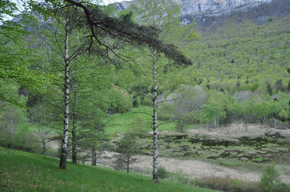
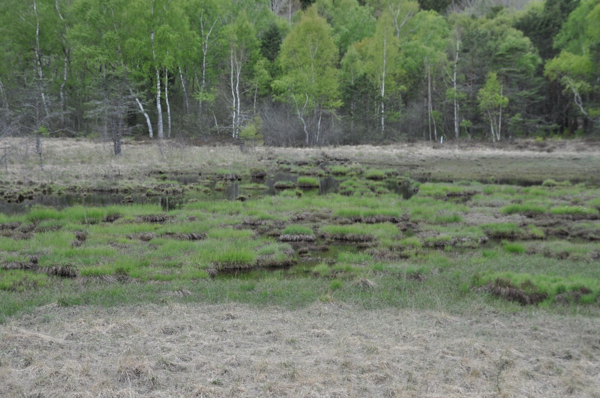
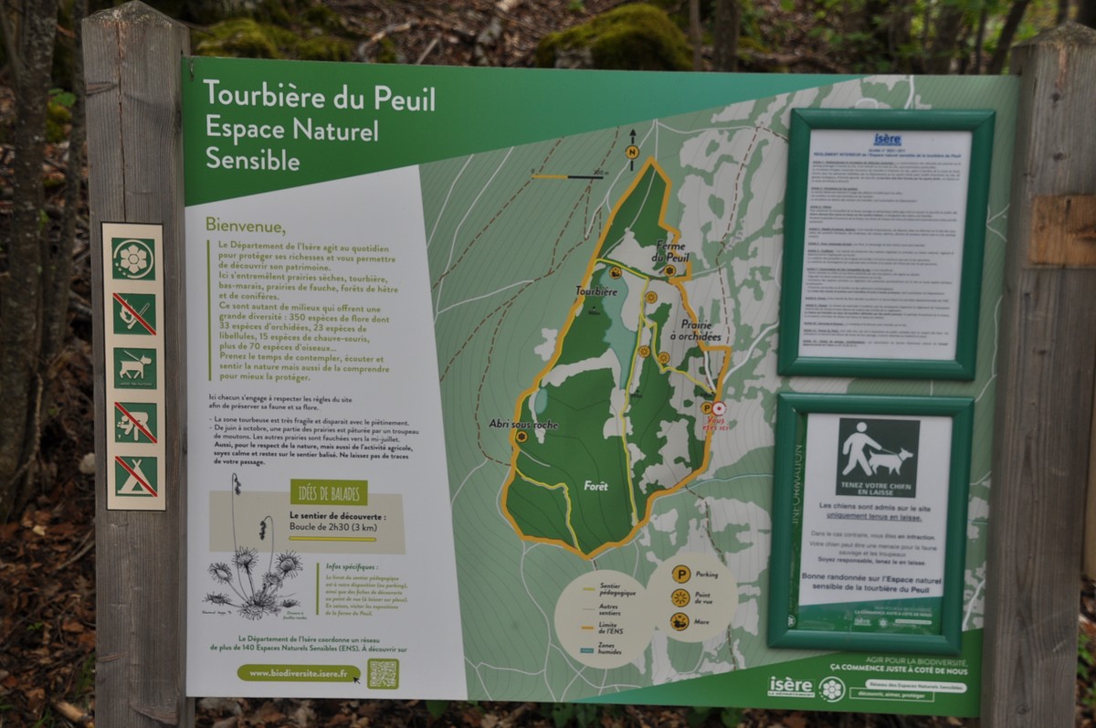
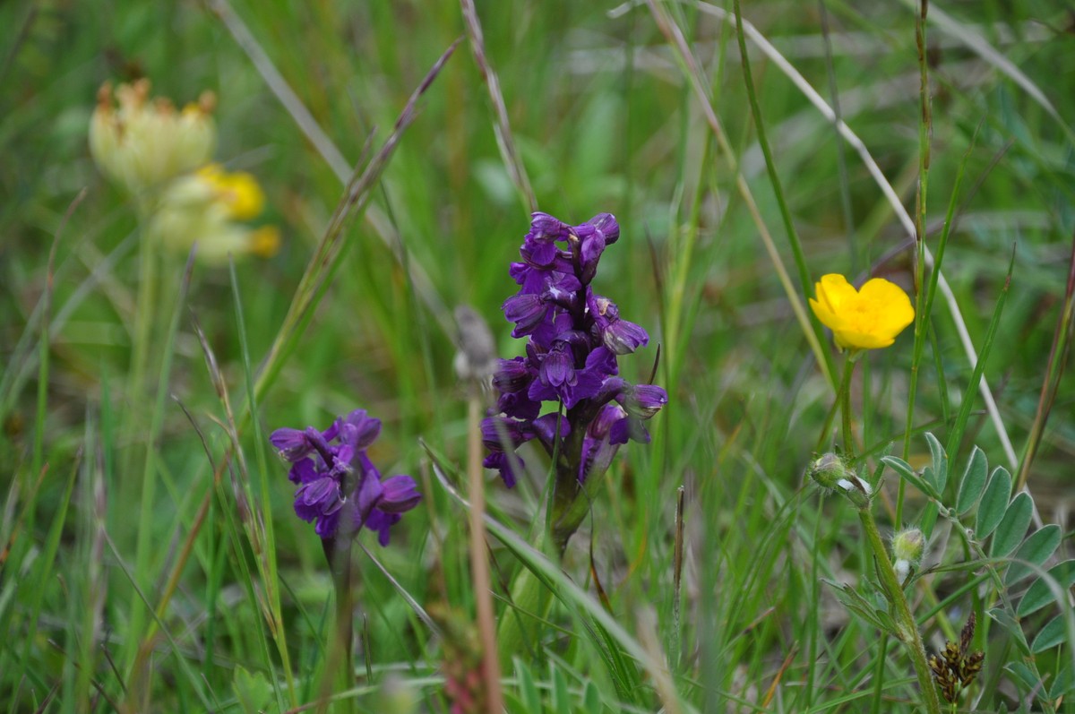
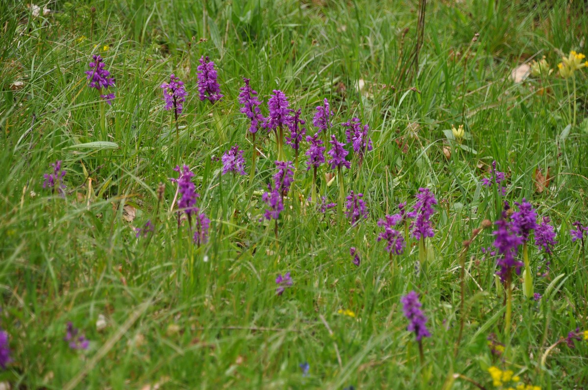
The Peuil Bog
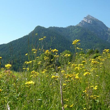
A long loop starting from the sensitive natural area of the Peuil peat bog, passing by picturesque hamlets installed on the foothills of the Vercors, offering beautiful panoramas on the Belledonne chain and the Oisans.
-
The Peuil Bog
Départ : Parking de la tourbière du Peuil
38640 CLAIX
Route
- Languages: Fr
Step by step
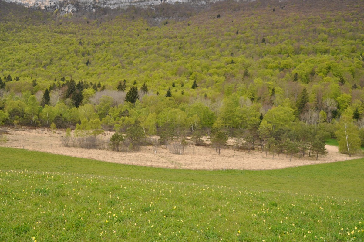
1. Head up the road towards the peat bog. At the "Tourbière du Peuil" post, take the stony path towards the Col de l'Arc, which gradually enters the forest at the heart of a remarkable heath-fir stand. Reach the "Clairière des Douze Apôtres" signpost.
2. Take an easy slope to Griffey. From here, descend on a stony path towards Terre Grasse (panorama of Grenoble), Belledonne
and Oisans. Descend to the road (gîte du Crêt du Loup).
3. Turn left onto the road that leads back to the parking lot.
Rates
Free of charge.
Opening periods
All year round.
Subject to favorable weather.
Equipments and characteristics
- Pets allowed
Access
Tourbière du Peuil, à 15km au sud-ouest de Grenoble par l'A 480, la D 6, la D106d et la route du Peuil.
- Latitude: 45.121839
- longitude: 5.646325
Environnement
- Mountain location
- Forest location
- Mountain view
Track characteristics
- Distance:
- 5 km
- Positive level difference:
- 90 m
- Daily duration:
- 3 h
- Level:
- Level green – easy
- Type:
- Loop
See also
-
Parc Naturel Régional de la Chartreuse
View more

