The fort of Murier
This small family loop allows you to appreciate the clear views of the massifs bordering the agglomeration in a rural setting alternating between woods and meadows. Take the opportunity to visit the goat farm of the Maquis.
Step by step
From the Fort du Mûrier parking lot, turn right and head downhill towards the village of Le Mûrier, past the Le Mûrier leisure center. At the crossroads, turn right towards Les Collodes. At the next intersection, turn left up the road towards Le Bigot. At the top of the hill, leave the road on your left and continue along the path. Once back on the road, cross the hamlet of Le Bigot.
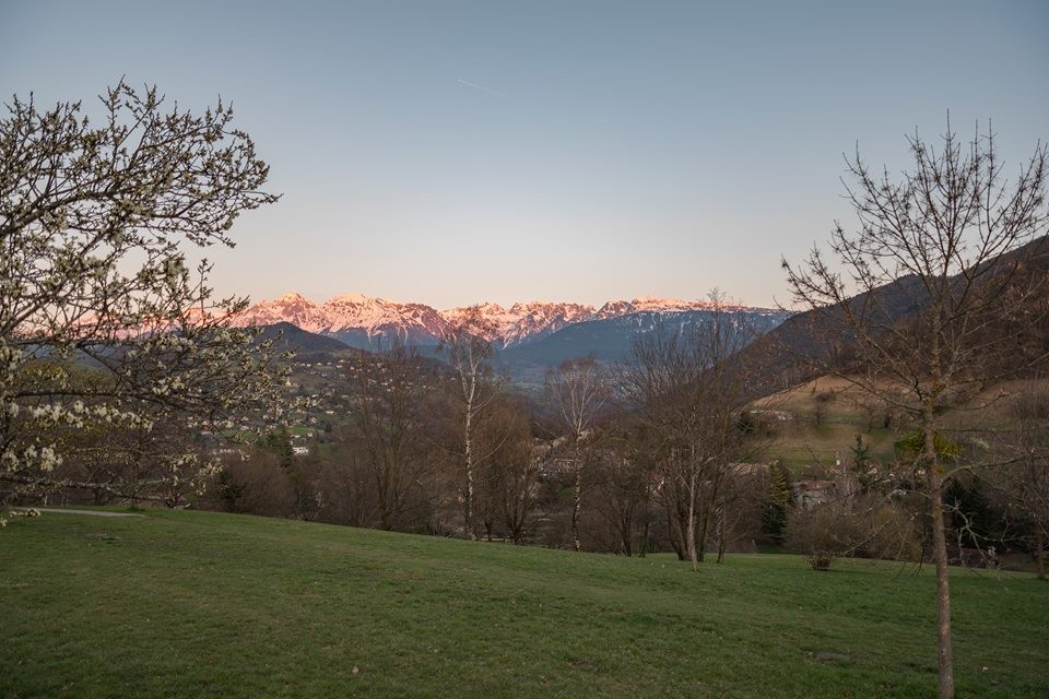
At the end of the hamlet, in the bend, take the track on the right. At the end of this path, cross the road and take the wide track to the Batteries Hautes [picnic tables, viewpoint over the Vercors and the town]. Follow the ruins and take the path down into the forest. At the Col du Courlu, turn left onto the sunken track towards Les Combettes to join a track bordering meadows. Descend to Le Mûrier.
Once back at the crossroads with the D112, return to the parking lot by the same route you took at the start.
Rates
Free access.
Opening periods
All year round.
Subject to favorable weather.
Equipments and characteristics
- Pets allowed
Track characteristics
- Distance:
- 4 km
- Positive level difference:
- 152 m
- Daily duration:
- 2 h
- Level:
- Level green – easy
- Type:
- Loop
