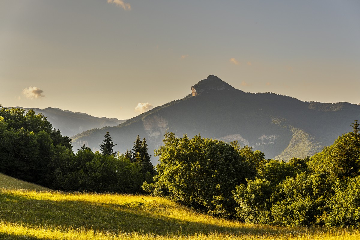
The Rachais from de Col de Vence
A few steps from the Grenoble area, this walk with a small and constant difference in altitude is accessible to all and offers an alternation of nice landscapes as well as views on the Néron and the Grenoble area.
-
The Rachais from de Col de Vence
Départ : Col de Vence
38700 CORENC
Route
- Languages: Fr
Step by step
From the Col de Vence parking lot (alt. 780 m), drive down the road towards Grenoble for about 100 m, on the right-hand side of the road, and at the La Chapelle hiking sign, turn right towards Mont
Rachais. Follow the white and red markings of the GR 9. From La Chapelle, climb a small tarmac road for about 200 m, then continue along the Chemin des Batteries on a wide track.
Keep going up this track until you reach the crossroads with the sheepfold (alt. 900 m). Here you leave the GR and its markings to turn right, towards Mont Rachais via the ridges. From this point on, follow the yellow
from this point on. At the Les Granges T-junction (alt. 1,010 m), fork left to find yourself under wooded hedges bordered by meadows. After a short climb, turn left again, heading south. The
slaloms between pastures and joins an undergrowth ridge. The path then heads downhill to Sous-le-Mont (alt. 975 m), where it intersects. Continue straight on up to Mont Rachais. From the summit of Mont Rachais (alt. 1,046 m), continue south on the ridge to start your descent. After around 400 m, the path leaves the ridge and dips to the left on the Grésivaudan side. At Roche Bise, you'll find a flatter path, the GR 9, a little further down. Turn left (careful, no directional signs) towards Bec Aigu and the bergerie, again following the white and red markings. At the sheepfold (alt. 900 m), all you have to do is turn right on the path you took the other way up, to return to the Col de Vence (alt. 780 m).
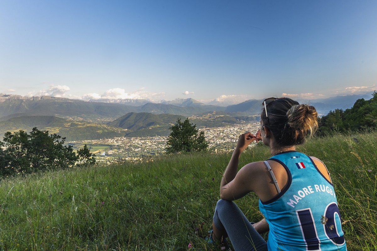
Points of interest
The meadows
- View of the Grenoble conurbation
- View of the Grésivaudan
- View of the Saint-Eynard fort
- View of the Écoutoux
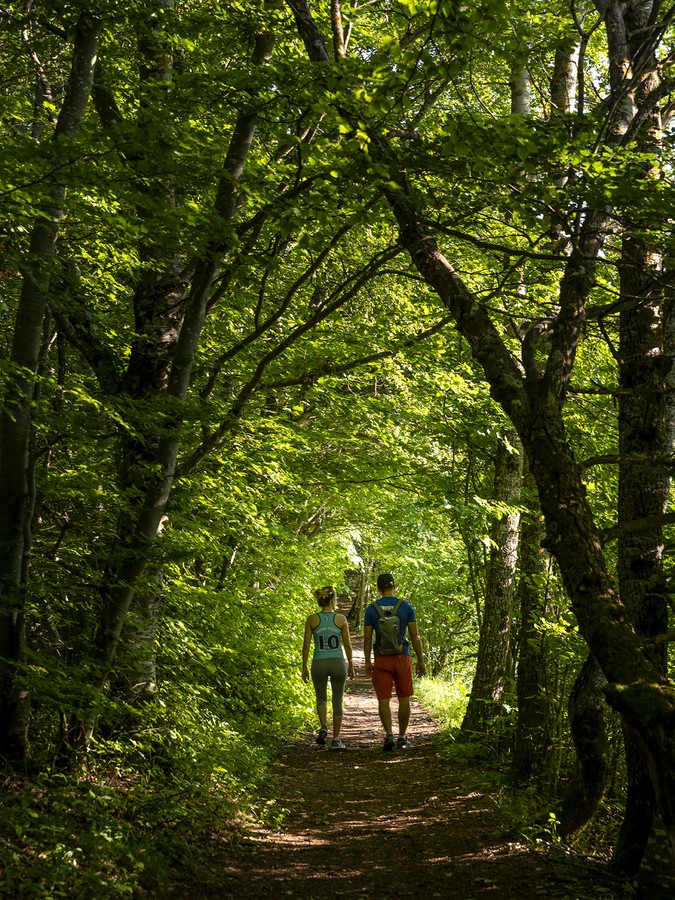
- The orchids
- The variety of trees
Rates
Free of charge
Opening periods
All year round daily.
Equipments and characteristics
- Pets allowed
Access
Access without a car: from Grenoble, take the N62 line to the "Col de Vence" stop.
Information: https://www.reso-m.fr/
- Latitude: 45.233454
- longitude: 5.751024
Environnement
- Mountain location
- Close to a public transportation
- Close to GR footpath
- Village centre
Track characteristics
- Distance:
- 8 km
- Positive level difference:
- 370 m
- Daily duration:
- 3 h
- Level:
- Level bue - Medium
- Type:
- Loop
