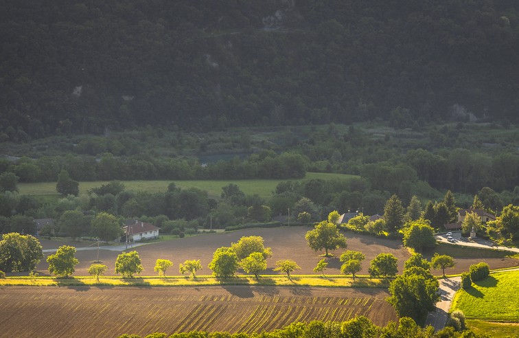
The flat of Commiers
This hike on the western foothills of the Connex allows you to discover the mixed forests of this massif and offers beautiful views on the lower valley of the Drac as well as on the eastern balconies of the Vercors.
Read more Read less
Start from the square next to the school, at the La Mure end of the village. Go down the D529 for 200m to "Les Potats" in the direction of Grenoble, then take the Rue des Gourgy to "Le Ruisseau". After 500m, the small road becomes a good track. A beautiful viewpoint to the north gives you a glimpse of the Grenoble conurbation. Continue uphill, leaving a track on your right. Pass the Notre Dame de Commiers village water catchment. 400m further on, the steep path bends to the right and heads south. At the "Commiers flat", turn right onto the path leading down to Notre Dame de Commiers. Initially heading north, the path makes a sharp 180° bend and then descends southwards for 800m to the hamlet of Les Jaillis, where you turn right and return to the starting point.
Possible options: You can either go up and down the formerly cultivated flat, or continue up for 400m, until you reach the pivot, allowing you to consider other destinations, in particular the Saint-Pierre flat.after a few steep switchbacks, the path skirts a meadow from which you can enjoy a fine view of the lake and the Notre Dame de Commiers dam.a little further down, join the D529 and descend for 400m to reach the starting parking lot.
NATURAL HERITAGE: BUILDING THE NOTRE DAME DE COMMIERS DAM
The construction of the Notre Dame de Commiers dam began in 1960. In 1959, the access road from the village to the bed of the Drac was built, with no less than 200m of vertical drop to be covered by a 2.7 km road. The dam, quite similar in design to the Serre-Ponçon dam, consists of a dike 230m wide at the base and 10m wide at the crest. It is 350m long and 40m high. It holds back 34 million m3 of water and contributes to hydroelectric power generation on the Drac, along with the Monteynard, Saint Pierre Cognet and Sautet dams, in that order. This complex produces 1,800 Gigawatts of electricity a year, providing 700 Megawatts of power at any given time.
-
The flat of Commiers
Départ : l’école, à la sortie du village
Chemin de l’église
38450 NOTRE-DAME-DE-COMMIERS
Route
- Languages: Fr
Rates
Free access.
Opening periods
All year round.
Equipments and characteristics
- Pets allowed
Access
BUS ACCESS : bus T92 stop "Notre Dame de Commiers-village
- Latitude: 45.009590
- longitude: 5.700155
Environnement
- Mountain location
- Close to a public transportation
- Forest location
- Village 2 km away
Track characteristics
- Distance:
- 4 km
- Positive level difference:
- 360 m
- Daily duration:
- 2 h
- Level:
- Level green – easy
- Type:
- Loop

