Family hike - Around Combe Chaude

Family walk around Combe Chaude, lasting 3 hours, this loop marked in yellow allows you to discover some of the riches of the Vercors foothills as well as beautiful views of the Chartreuse massif.
-
Family hike - Around Combe Chaude
Départ : Château de Sassenage
Allée du Château
38360 SASSENAGE
Route
- Languages: Fr
Step by step
Departure is from the Château de Sassenage. Signs point the way to Les Engenières and Noyarey. On the way, don't fail to admire the magnificent anticline, the folding of rocks that characterizes the heights of Sassenage.
In the hamlet of Plaçage, you'll notice some very old houses dating back to the 15th century. After Les Engenières, you pass a wetland area. The climb begins in the last meadows that were once planted with vines. The trail now wends its way through undergrowth for 1 km before reaching the Gingeolles lookout, where a landscape-reading table on the theme of geology sits. This has just been restored.
A few hundred metres further on, you reach Le Cruy.
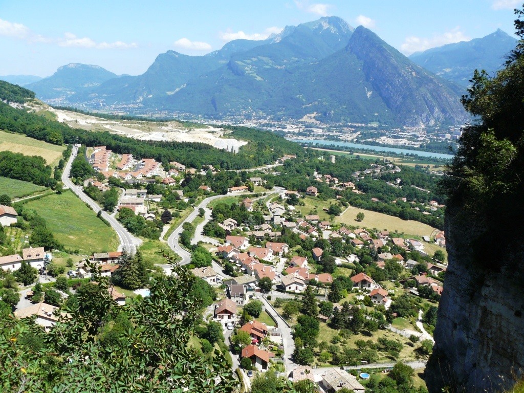
Look up and admire the Urgonian limestone cliffs, dominated by La Sure, culminating at 1643m. Continue in the direction of Noyarey. After a short descent, you reach La Carrières. Climb southwards on your left to reach the batteries, after a tough climb up a small chimney. This is the high point of the walk, at 440m, with a fine view over the Voreppe cluse.
Further on, the path takes you to the shooting range. Continue towards Pont Charvet and pass the cement works. Cross the RD531 at this point, then join Rivoire de la Dame as far as "Beaurevoir". Take the Chemin des Côtes to the sign for "Les Cuves", then Sassenage Village.
You'll then have no trouble completing this pretty loop, finally skirting the Furon.
Tour stages :
Château de Sassenage / Château de Sassenage 205m / Le Hameau du Château / Les Engenières / Belvédère des Gingeoles / Le Cruy / La Carrière / Les Batteries / Le Cruy / La Cimenterie / Beaurevoir /Les Cuves/ Sassenage Village / Château de Sassenage 205m / Château de Sassenage
Rates
Free of charge.
Opening periods
All year round.
Subject to favorable weather.
Equipments and characteristics
- Pets refused
Access
BUS ACCESS : line 20 / 50 / 54 stop "Sassenage Château
- Latitude: 45.211049
- longitude: 5.660691
Environnement
- Close to a public transportation
- Bus stop < 500 m
- Forest location
- Mountain view
Track characteristics
- Distance:
- 8 km
- Positive level difference:
- 320 m
- Daily duration:
- 3 h
- Type:
- Loop


