Voyage en balcon est
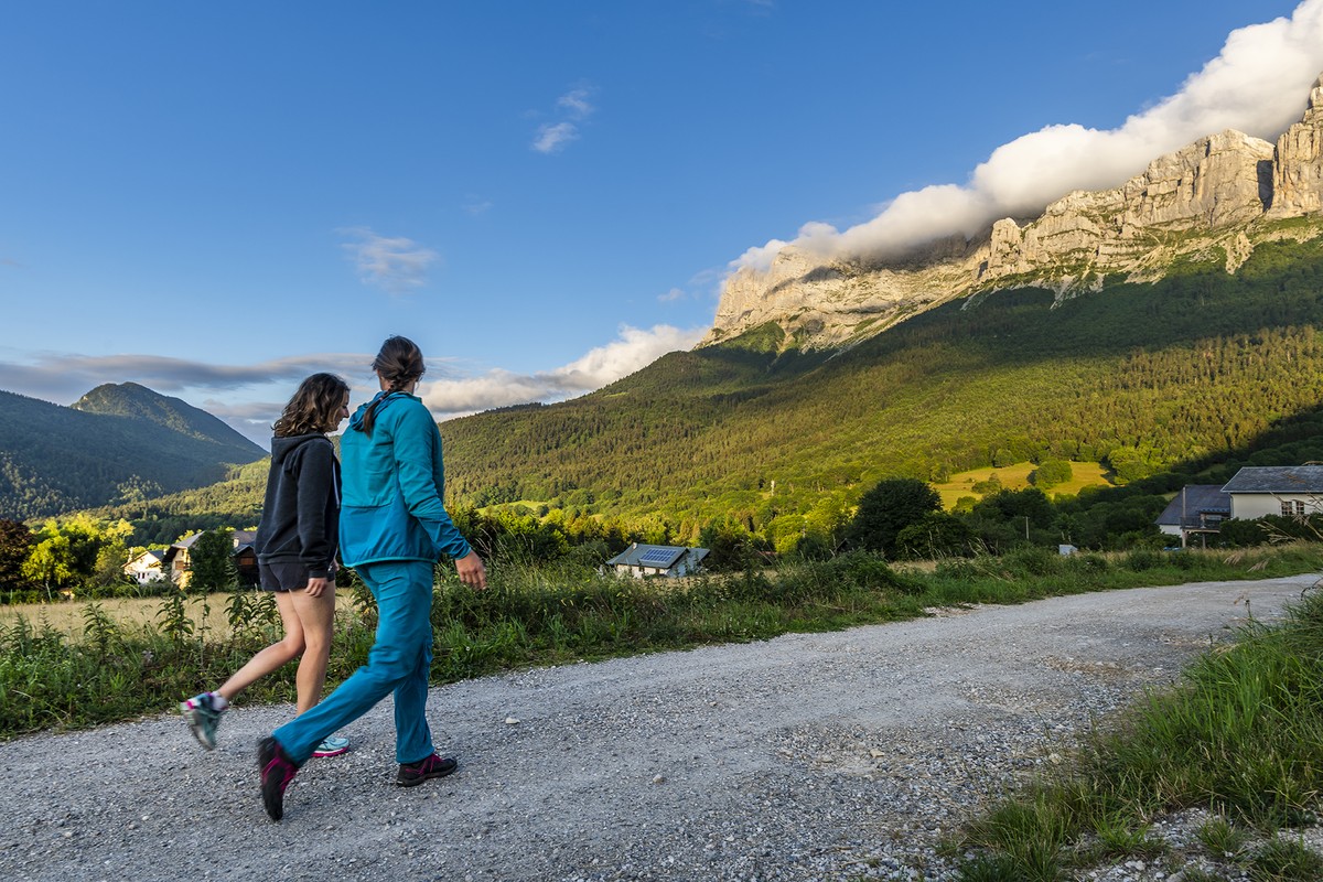
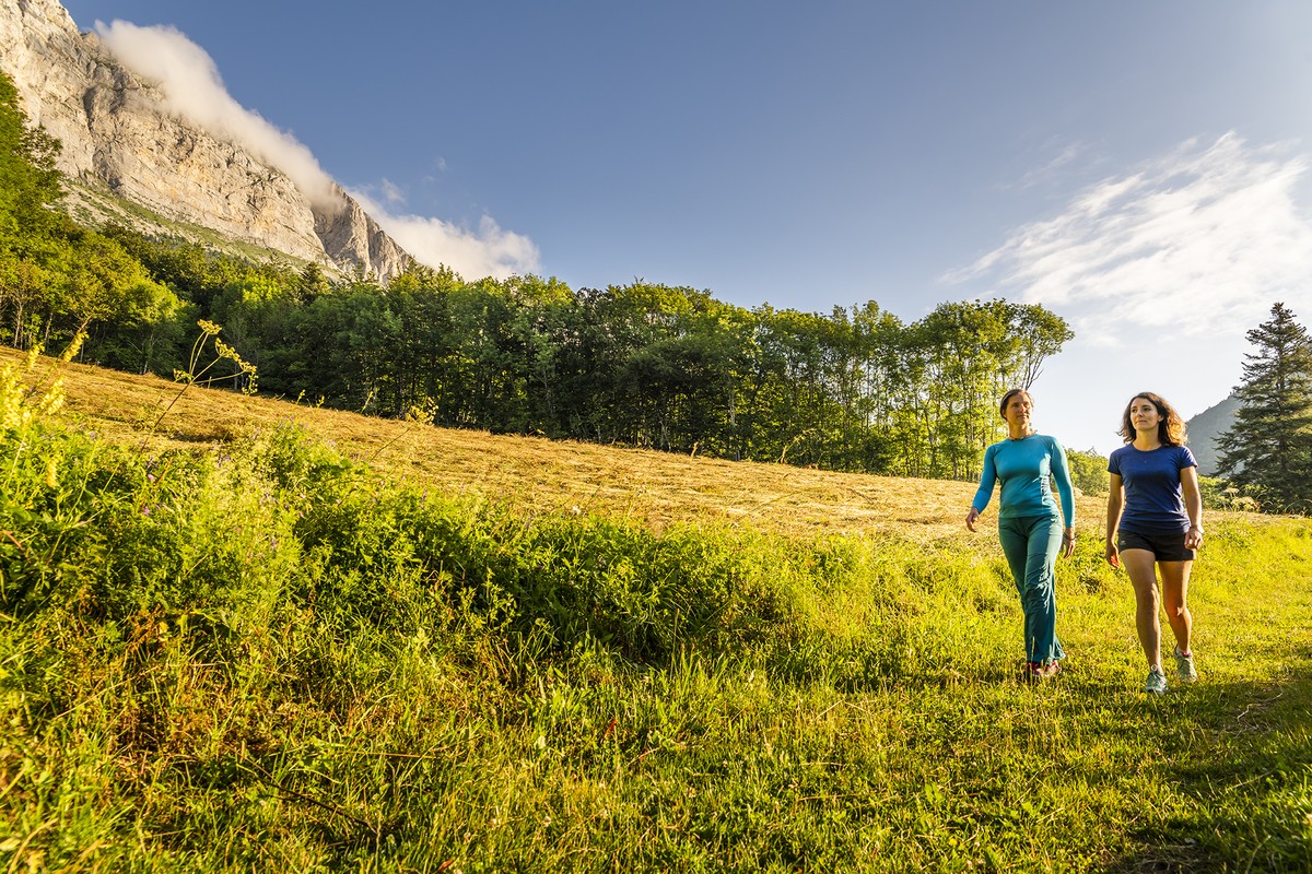
There are corners of the Grenoble metropolis that are far from urban.
Under the ridges of Gerbier, on the eastern balconies of the Vercors, the itinerary proposed here, to be avoided if there is still snow or in periods of frost, is to be done at the first rays of the sun.
-
Voyage en balcon est
Place des Justes (Eglise)
Prélenfrey
38450 LE GUA
Route
- Languages: Fr
Step by step
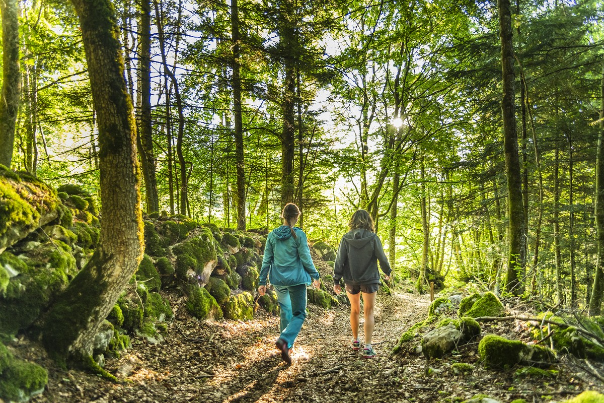
From Place des Justes, follow the forest road up to the Le Prévent crossroads (alt. 935 m), where you turn right onto the Baléyère road. Six hundred metres further on, at the Baléyère hiking sign (alt. 1,006 m), leave the road and take the "chemin des Narcisses" to the left towards Lallier. As the path becomes grassy, turn right at the fork to join the forest road at Lallier (alt. 1,029 m). Continue on the opposite side of the road towards the Prélenfrey woods and continue uphill, always following the yellow and green markings. You will cross the forest road three times. At the second crossroads, go 50 m up the road to take the left-hand path through the undergrowth. After crossing the asphalt one last time, the path joins a wide track which you take to the right. As the track narrows, you come to a junction and turn left for a steep climb that leads to a new track, which you cross to continue straight ahead. A hundred meters or so higher up, you come to a large crossroads of tracks. This is the Bois de Prélenfrey (alt. 1,443 m). The route continues above, towards "Sous le Ranc des Agnelons". Beware: the rest of the route is not recommended in winter. Another hundred meters of ascent, and you're at Sous le Ranc des Agnelons (alt. 1,530 m), where you fork left towards Baraque des Clos. At La Pierre des deux heures (alt. 1,587 m), continue your traverse towards Baraque des Clos on the upper path, then at the Éboulis sign (alt. 1,602 m), descend to the left to quickly reach Baraque des Clos (alt. 1,557 m). Just before the shelter, the path makes a hairpin bend to the left, heading downhill towards Prélenfrey. From here, you reach Les Clos (alt. 1,366 m), where you continue on the downhill track. This brings you to the asphalt forest road, Les Bordeaux (alt. 1,310 m). Turn right, under the barrier, onto the flat carriageway, and as it rises, continue straight ahead on a small path towards the source of the Combe du Lynx. The path climbs a little and joins a track which you take on the left to lose altitude. Go straight downhill until you reach the road at Chaussoney (alt. 1,188 m), then across the road to La Halle (alt. 1,030 m), where you turn left towards the village 1 km away. At Maubourg, fork right towards Chamou, and rejoin the road at the village tennis courts. Continue downhill to the Chamou crossroads (alt. 947 m), and turn left onto the "chemin de Chamou", which takes you back to the church in less than 5 minutes.
Alternative: you can shorten the loop by starting from the parking lot at Des Bordeaux.
Points of interest
- The village of Prélenfrey
- The history of the Resistance
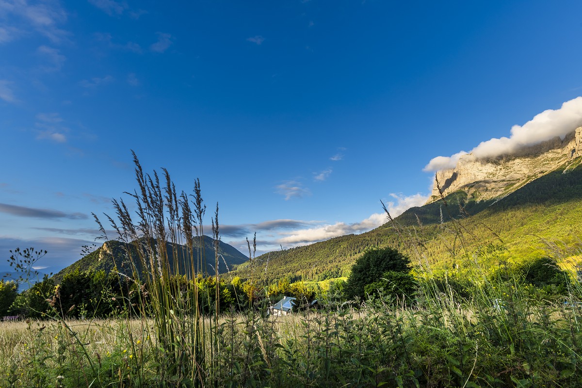
- The path beneath the Gerbier cliffs
- The Clos hut
- The view
Rates
Free of charge
Opening periods
All year round.
Equipments and characteristics
- Pets allowed
Access
Parking: On the Place des Justes (village center)
- Latitude: 45.020570
- longitude: 5.624132
Environnement
- Mountain location
- Riverside
- Close to a public transportation
- Village centre
Track characteristics
- Distance:
- 12 km
- Positive level difference:
- 650 m
- Daily duration:
- 4 h 55 min
- Level:
- Level red – hard
- Type:
- Loop
