In the land of the red monks
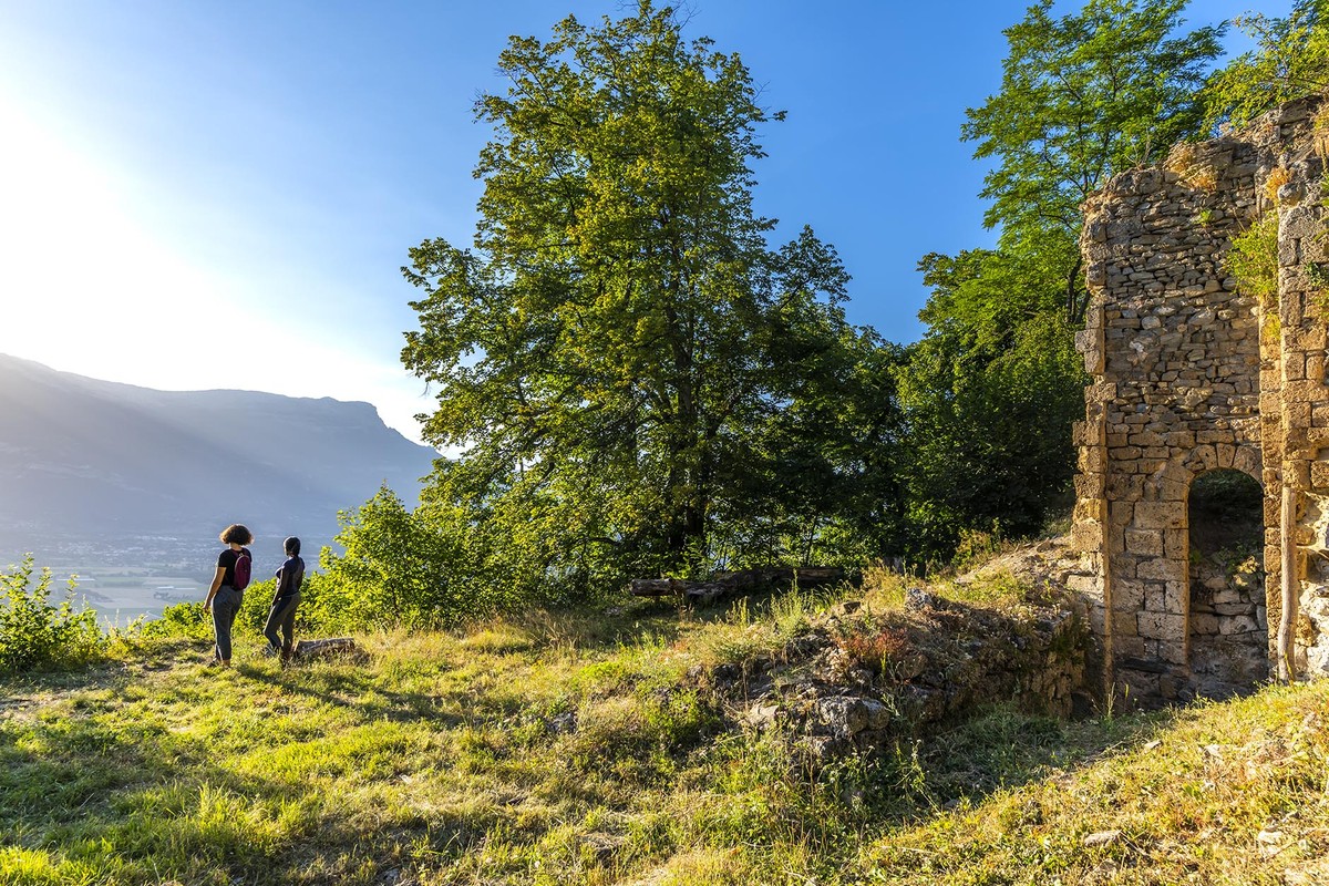
Between Vif and Vizille, facing the Vercors, it is on the commune of Champ-sur-Drac that this hike, without technical difficulty, takes us. The ruins of the priory of Saint-Michel-du-Connexe, or convent of the Red Monks, are without question a must-see.
-
In the land of the red monks
DÉPART : Plan d'eau de Champ sur Drac
38560 CHAMP-SUR-DRAC
Route
- Languages: Fr
Step by step
Park at the lake and head for champ sur drac village, cross the railroad tracks and follow the road to the road crossing. Opposite, take the staircase to the chapelle St Blaise. From the chapelle St Blaise (alt. 320 m), continue on foot along the road towards Champ-sur-Drac Village (150 m). At the stop sign, turn left towards Saint-Sauveur on "rue des Fontaines". The yellow markings will guide your steps throughout this hike. At the Les Ermes fork (alt. 340 m), follow the Saint-Sauveur road towards Grande Boyne, marked at 810 m. Pass the sign indicating the entrance
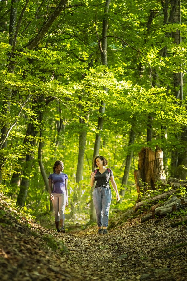
for Notre-Dame-de-Mésage, to reach Grande Boyne (alt. 420 m). Leave the road and take the path to the right towards the prieuré Saint-Michel, a path with a beautiful arboretum. The path first rises steeply, then continues to climb more or less cross-country until it reaches Champ Garo (alt. 550 m). Continue uphill towards the priory, and look out for a wooden sign for the Saint-Michel monastery on the right. Walk back and forth to admire the view and the ruins of the priory. Back on the upper path, continue uphill to quickly reach the Saint-Michel priory junction (alt. 618 m). Continue left towards Hauts des Tillerets, where for just over a kilometer a ramp takes you up 350 m to the forest track. You've reached Hauts des Tillerets (alt. 960 m). Take the track on the left to descend towards the springs. At the springs (alt. 850 m), take the path to the left of the track, towards Saint-Sauveur. Descend steadily until you reach the road at Saint-Sauveur (alt. 470 m) (caution: spray-blackened directional signs), where you fork left onto the "route de Champ". This takes you to La Grande Boyne, then to Champ-Sur-Drac Village via the same route you took on the outward journey. This takes you back to your starting point.
Points of interest :
- Champ-sur-Drac village
- Saint-Michel-du-Connexe priory
- View of the Vercors from the priory
- View of the Drac from the priory
- The arboretum
Rates
Free access.
Opening periods
All year round.
Equipments and characteristics
- Pets allowed
Access
PUBLIC TRANSPORTATION: line 70 (Flexo), Grand Verger stop (you must then walk to Champ-sur-Drac Village to start the hike)
PARKING : at the entrance of Champ-sur-Drac Village
- Latitude: 45.078038
- longitude: 5.736125
Environnement
- Mountain location
- Close to a public transportation
- Forest location
- Village -2 km away
Track characteristics
- Distance:
- 10 km
- Positive level difference:
- 700 m
- Daily duration:
- 4 h 30 min
- Level:
- Level red – hard
- Type:
- Loop
