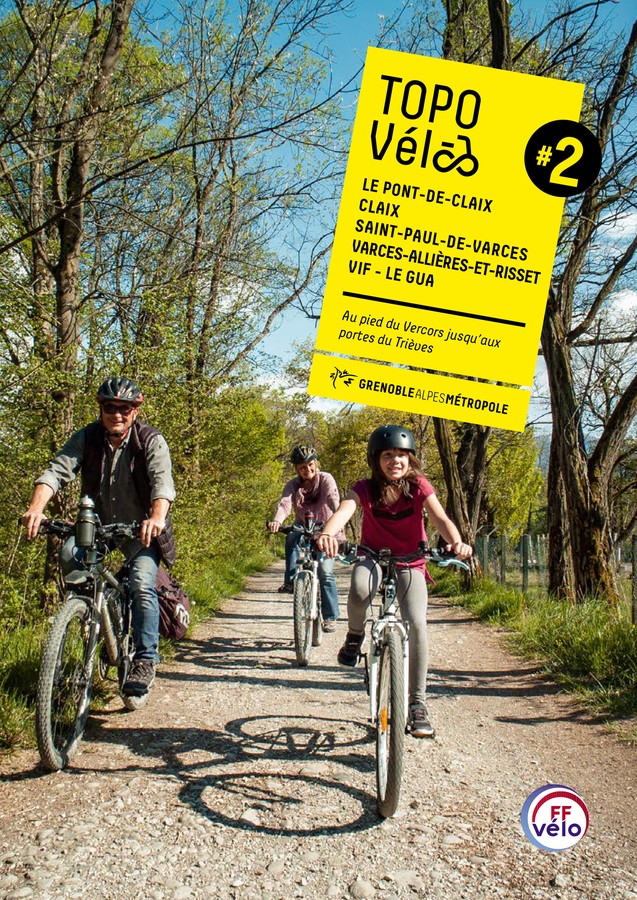
Boucle vélo Claix - Rochefort
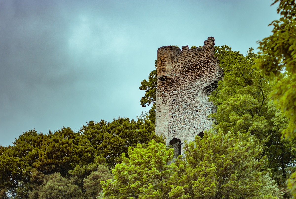
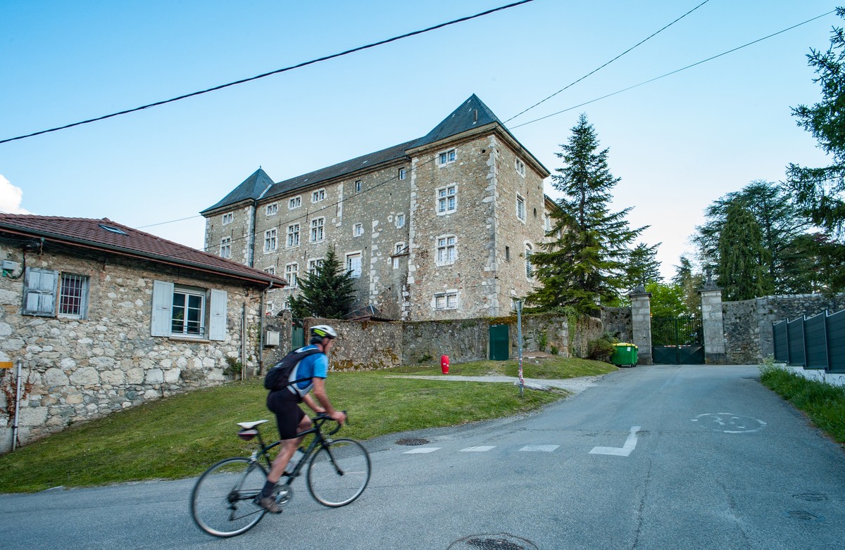
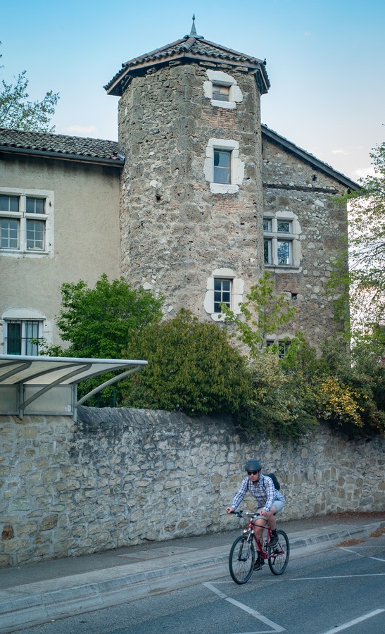
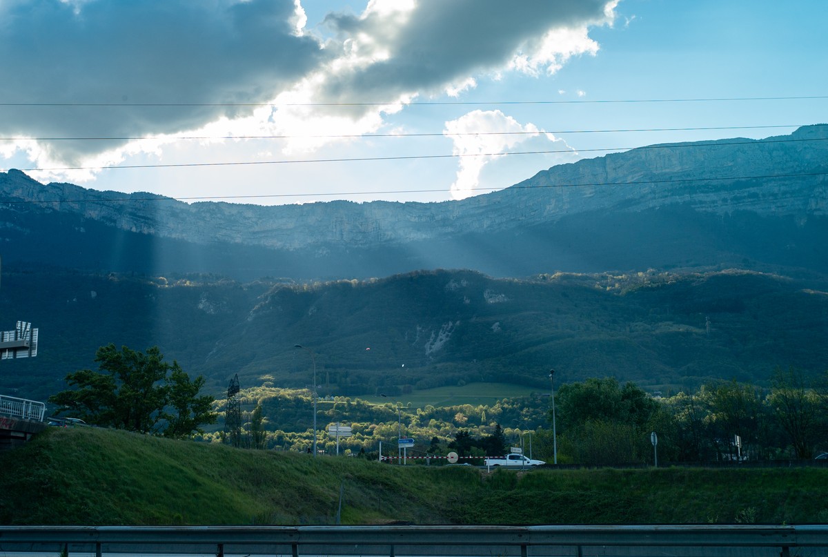
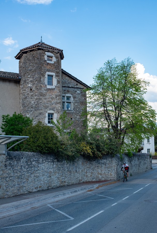
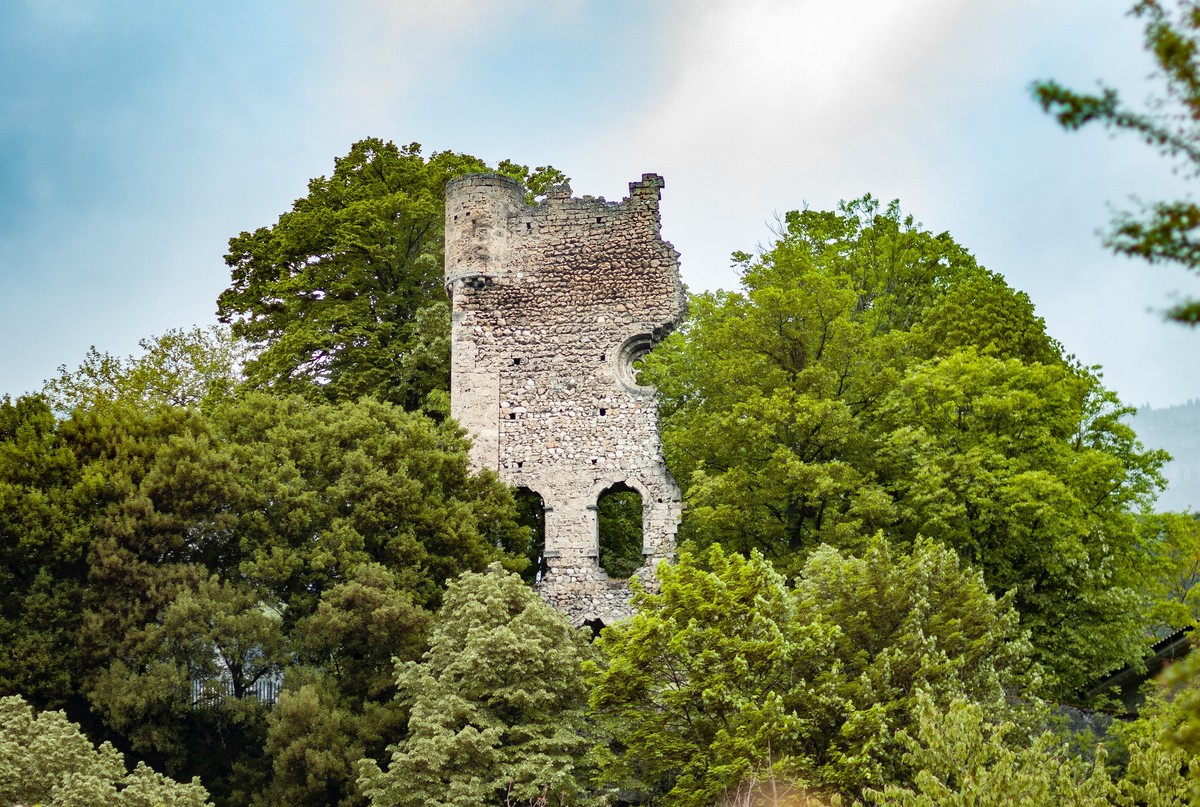
The first part of the itinerary has a natural charm. The ascent to Allières is rewarded by the arrival at the castle, followed by the panoramic view from the descent. The crossing of the village of Claix brings your walk to a pleasant close.
-
Boucle vélo Claix - Rochefort
Avenue de la Ridelet
Parking centre commercial
38800 LE PONT-DE-CLAIX
Route
- Languages: Fr
Step by step
The shopping center parking lot, the starting point for your journey, is centrally located on the Avenue de la Libération (D1075). It is close to the Pont Rouge and Pompidou bus stops, served by buses 21, 25, 47 and 48.
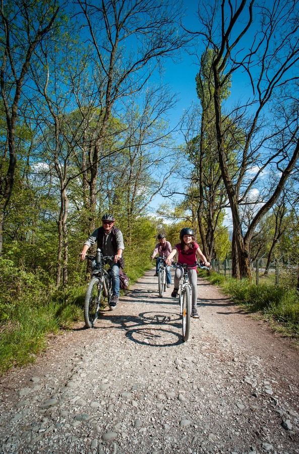
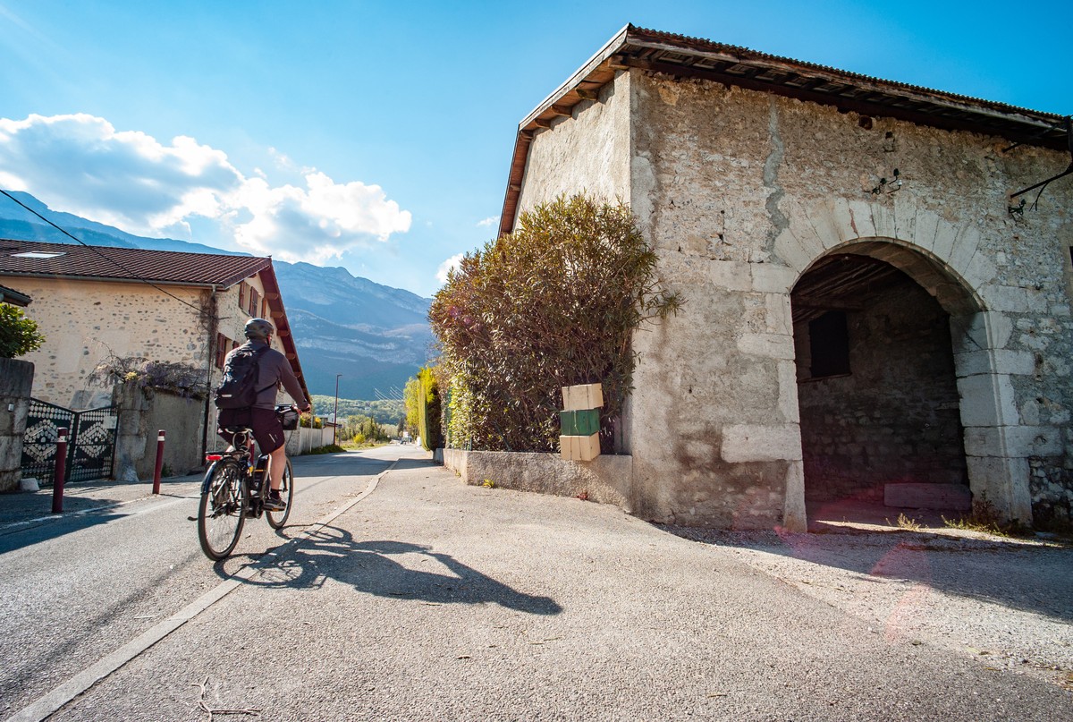
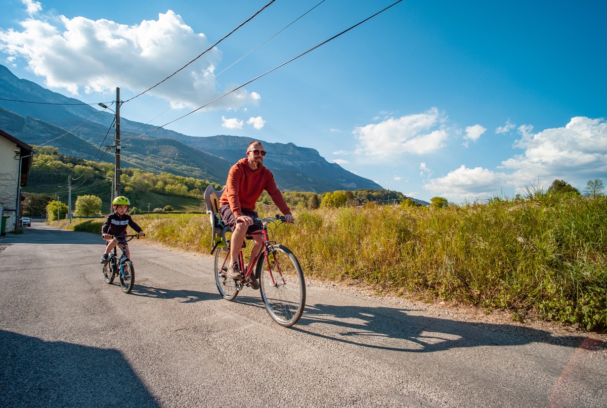
You quickly leave the center of Pont-de-Claix to join the Promenade Joseph-Marius Thiervoz and then the Chemin de la Digue, safe, shaded paths that take you along the Drac to Varces. You then gain altitude and reach Allières before a beautiful descent that takes you to the center of Claix, the final stage before returning to your starting point. Balanced between cycle-friendly sections and less-travelled roads, this route is ideal for amateur cyclists.
1 From the shopping center parking lot, turn right onto Avenue de la Ridelet (D269). At the traffic circle, continue straight ahead, taking the second exit onto rue du Rocher. 70m further on, continue in the direction of travel on the two-way rue des Sources*.
2 Turn left into the cul-de-sac. At the far end, go through the gate. This takes you to the Promenade Joseph-Marius Thiervoz, which runs south along the Drac river. 2.3km further on, continue along the chemin de la digue.
3 & 4 At the footbridge, turn right onto rue des Plantées, towards Varces, Petit Rochefort. 460m further on, before the artisanal zone, turn right onto rue du Peuil, then left onto rue de Beauregard.
5 At the traffic circle, continue straight ahead, taking the third exit, rue Pierre Termier. 180m further on, at the bend in the road, turn right into rue Marjoera, which will be equipped with a cycle track halfway along.
6 Continue in the direction of travel on rue du Champ Nigat, which veers slightly to the right and takes you over the A51 motorway.
7 Turn left onto rue de Nivolon, which you follow all the way up, then right onto rue de Dideyre.
8 Turn left onto route du Château d'Allières.
9 Leave the château on your left, and turn right onto route du Château.
10 Continue downhill on route du Château, which veers slightly to the left and becomes rue du Vercors 730m further on. It will finally be renamed rue Jean-Moulin in the town of Claix.
11 Turn right onto Avenue de Belledonne (D106D). Drive alongside the school, and at the next crossroads, turn left onto avenue Bougault.
12 At the traffic circle, turn right onto Montée de la Croix Blanche. At the next traffic circle, take the third exit on your left onto the cycle path that runs alongside avenue de Belledonne (D269), under the A480 motorway and back to avenue de la Ridelet, your starting point.
Rates
Free access.
Opening periods
Closed temporarily.
Equipments and characteristics
- Pets allowed
Environnement
- In the country
- Riverside
- Close to a motorway
- Overview on river
Track characteristics
- Distance:
- 11 km
- Positive level difference:
- 132 m
- Daily duration:
- 1 h 15 min
- Level:
- Level green – easy
- Type:
- Loop


