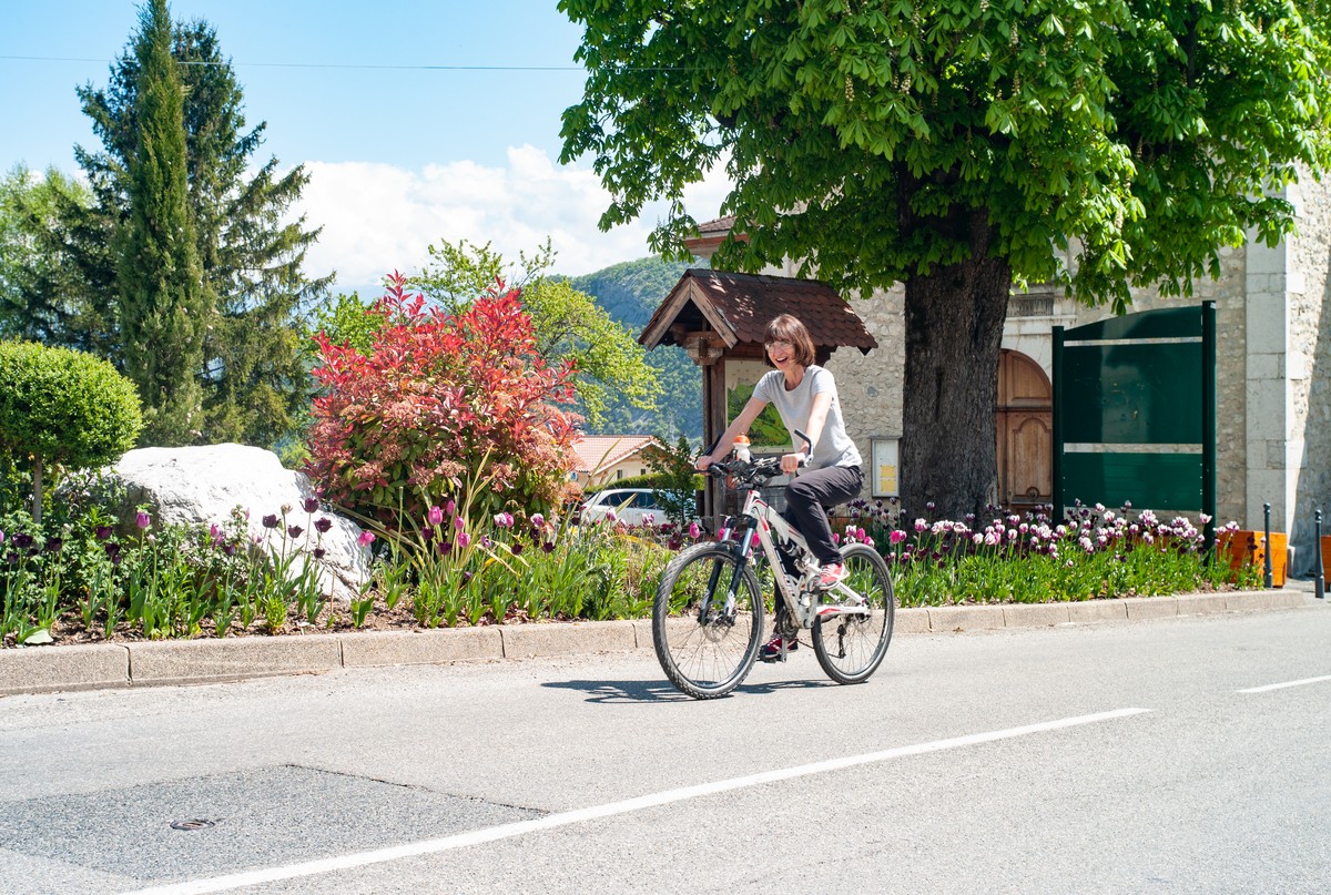
Boucle vélo Saint-Paul de Varces
This roadside ride, with a difference in altitude of around 200 m on the outward journey, is fairly easy and can be done by mountain bike.


-
Boucle vélo Saint-Paul de Varces
Place de la République
38760 VARCES-ALLIÈRES-ET-RISSET
Route
- Languages: Fr
Step by step
The Place de la République, the starting point for your tour, is surrounded by shops and equipped with numerous shady benches. With plenty of parking, bordered by the D1075 and served by buses 25 and 26, it's the ideal meeting place.
After leaving Varces-Allières-et-Risset, you take a short, busy stretch of road. You then begin a steady ascent on quiet roads. Finally, the route offers a beautiful descent back to your starting point. If you wish, you can complete the route with a short loop around Saint-Pierre church.
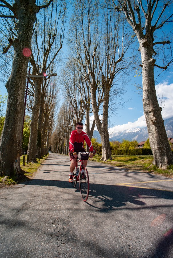
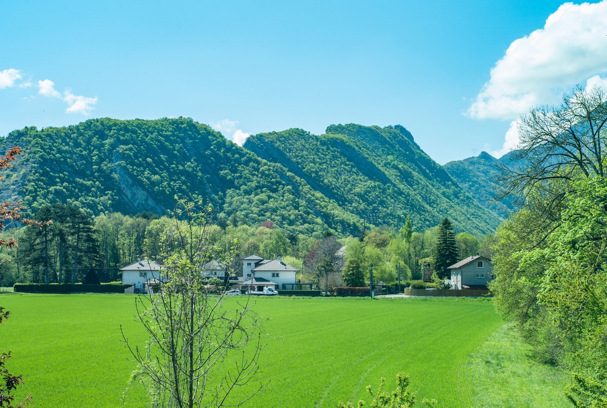
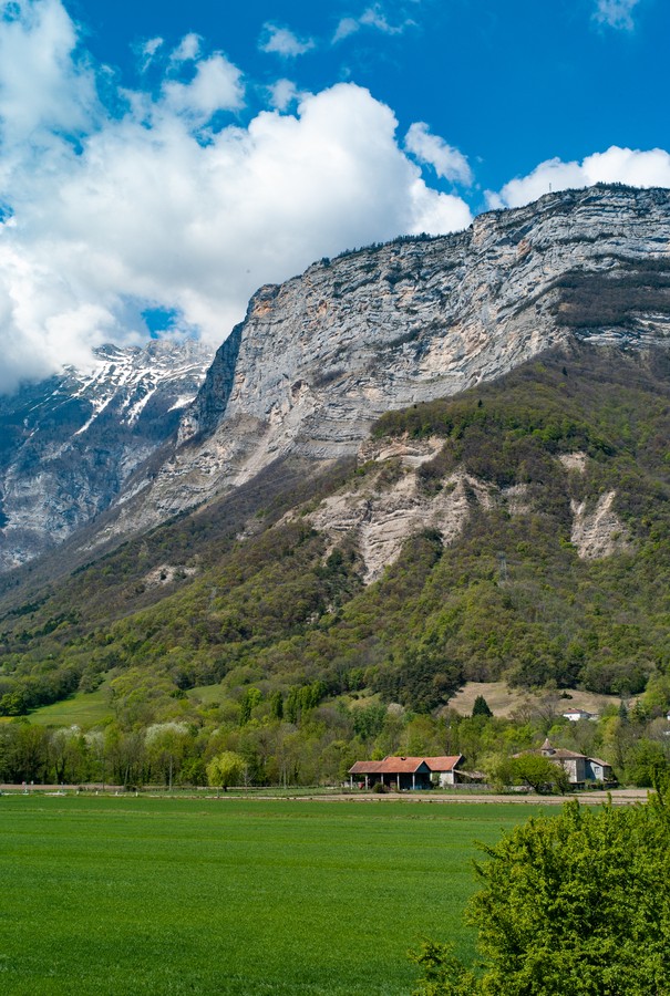
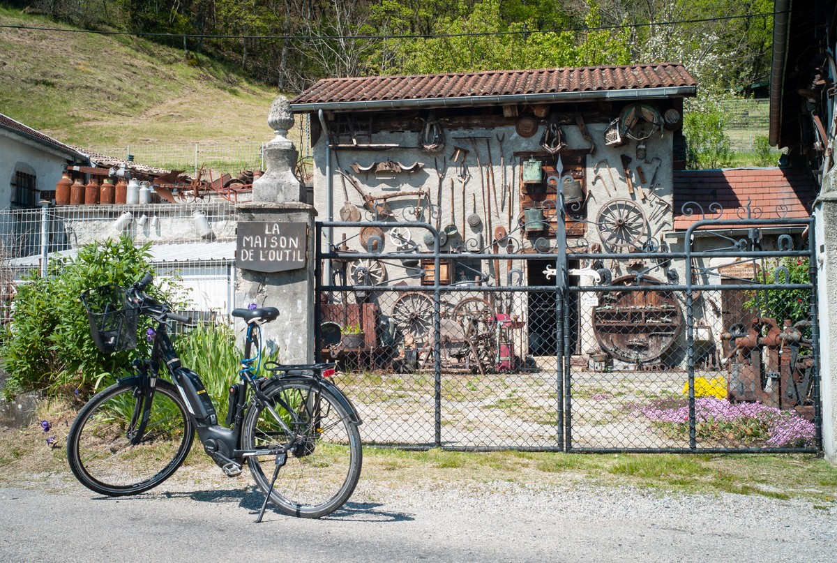
Shortly after your departure, you'll head up the allée des Platanes, which once led noble guests to the Château du Bocage. After passing the former fortified house of Brigaudière, the Maison de l'outil and its open-air collection are sure to brighten your climb. As you skirt the foothills of the Vercors, take a break in the church square at Saint-Paul-de-Varces. To finish on a high note, you'll need to climb up to Saint-Pierre church, whose forecourt offers a breathtaking view.
1 From Place de la République, turn right into Rue René Chrétien, then left into Rue Jean Jaurès. 200m further on, turn slightly right into rue du Portail Rouge.
2 Turn left into the allée des Platanes, which naturally leads to a right turn into rue La Valette. At the next junction, turn left onto rue de Mazetière.
3 At the traffic circle, take the third exit, route du Martinais-d'en-Haut, to cross the A51 motorway to Saint-Paul-de-Varces.
4 At the traffic circle, take the third exit, route de Grenoble. At the next junction, turn right onto chemin des Combes.
5 Continue straight on, chemin du Rocher de la Bourgeoise. 900 m further on, turn slightly right, chemin Saint-Ange.
6 After the church, turn right onto Charrière Chaude and follow this road for 1.5km.
7 Turn left onto chemin du Bémont, which becomes chemin de la bascule 2.1 km further on.
8 Turn right onto the D107, which will be known successively as route du Vercors, rue des Gaberts and rue du Vercors.
9 Return to your starting point, taking rue Jean Jaurès on your right. At the next junction, turn right into rue René Chrétien, but follow it all the way up.
10 Continue on Montée Perpero, which rises on your right. After 180m, turn left onto the chemin du cimetière. This takes you around the church of Saint-Pierre, before retracing your steps to return to your starting point at Place de la République.
Rates
Free access.
Opening periods
All year round.
Subject to favorable weather.
Equipments and characteristics
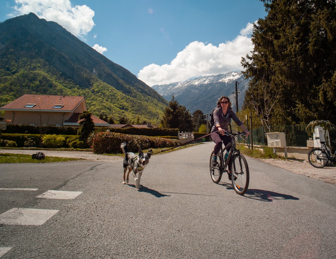
- Pets allowed
Track characteristics
- Distance:
- 13 km
- Positive level difference:
- 261 m
- Daily duration:
- 1 h 20 min
- Level:
- Level bue - Medium
- Type:
- Loop


