From Gières to the Gourlu pass
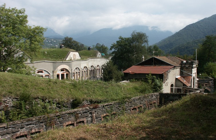
We propose to the hikers during this hike to join the heights of Gières, above the fort of Murier and to discover very beautiful points of view on the three massifs as well as on the valley of Isere.
Read more Read less
From Place de la République, cross Grande Rue into Rue Victor Hugo, in the direction of Parc Michal. Pass in front of the Mairie and join the Cours des Taillandiers. The trailhead is at the intersection of rue du repos and avenue Henri Duhamel. The path passes close to the reservoirs, then rises rapidly on the northern shoulder of the Murier hill. 200 m further up, the path drops down to the Murier access road beside the fort. Head towards the village, then follow the signs for Villeneuve d'Uriage. Shortly afterwards, the balcony path overlooks the steep combe de Gières. After 500 m, at Les Combettes, turn right towards Col du Gourlu. At the pass, turn right towards the high batteries. The path runs alongside the buildings that once housed the artillery. Just before, hikers can climb to the top of the hill: the best vantage point of the walk. 1 km further on, after a sharp 180° bend, join and cross the D112 towards the hamlet of Le Bigot. Go through the village, then turn right towards Les Collodes, 1 km further on. Take the road to Le Murier. At the crossroads, take the same route as before to reach Gières.
-
From Gières to the Gourlu pass
place de la République
38610 GIÈRES
Route
- Languages: Fr
Rates
Free access.
Opening periods
All year round.
Equipments and characteristics
- Pets allowed
Access
BUS ACCESS : line 14 stop "Place de la République" or Tram B stop "Gare Université".
- Latitude: 45.182107
- longitude: 5.792512
Environnement
- Mountain location
- Close to a public transportation
- Forest location
- Village 2 km away
Track characteristics
- Distance:
- 7 km
- Positive level difference:
- 410 m
- Daily duration:
- 3 h 15 min
- Level:
- Level bue - Medium
- Type:
- Loop

