The Sunstone and the balcony of the Drac

Between Vercors and Taillefer, on the banks of the Drac, this hike without particular difficulty
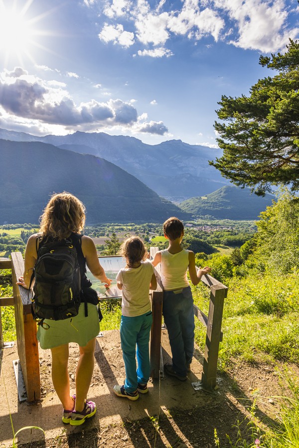
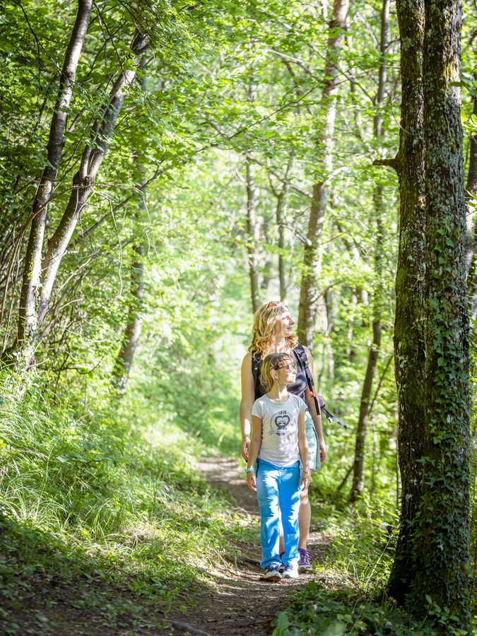
This hike, without any particular difficulty, makes you perceive the great diversity of Saint-Georges-de-Commiers. Forest, built heritage and viewpoints guide your steps.


-
The Sunstone and the balcony of the Drac
DÉPART : la Tour (alt. 400 m), Saint-Georges-de-Commier
38450 SAINT-GEORGES-DE-COMMIERS
Route
- Languages: Fr
Step by step
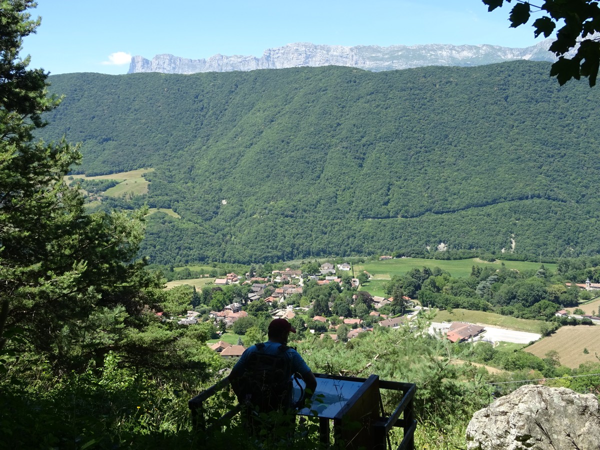
(Caution: different directional blade systems, and rather approximate altitudes). Park at the St-Georges de Commiers stadium or town hall. Turn left in the direction of de la Tour (alt. 400 m), crossing the departmental road, take the "montée du Moulin" on the small road towards Lachal, following the yellow signs. Do not follow the orange signposted route, but continue up the road, which becomes a stony track. At the La Gardette intersection (alt. 480 m), continue straight on towards Les Chauvets, noted at 600 m. Keep climbing until you reach the asphalt, and continue on the road to pass the Chauvets sign (alt. 550 m), and continue straight on towards Les Beaumes. You'll soon come to the orange Rocher bleu signs. Take the path on the right towards La Pierre du soleil. You'll pass La Pierre du soleil and its orientation table, then come to the La Source crow's-foot (alt. 570 m). At the La Source intersection, you can turn right towards the Saint-Pierre church to complete the walk. To continue, take the level path towards Les Chabouds. After a short climb, the path heads downhill. At Le Planet, continue downhill. The path becomes a street and leads you to the main road (be careful when crossing). You're now at Les Chabouds (alt. 470 m). Cross the road and continue straight ahead towards the church of Saint-Pierre. Continue downhill until you come to an overhang over the La Mure railway line. Turn right with the tracks on your left. Pass through an area of forestry activity selling firewood to reach La Dray (alt. 425 m). Turn left towards La Gare, and cross a bridge over the railroad. Immediately after the bridge, turn right and continue downhill. As you begin to see the Drac on your left, the path widens and rises slightly to reach a new bridge over the railroad. Take this, and after the first house, fork left with a field on your right. Continue straight ahead through the allotments, back to the village of Saint-Georges-de-Commiers.
Points of interest :
- Tower
- Romanesque church
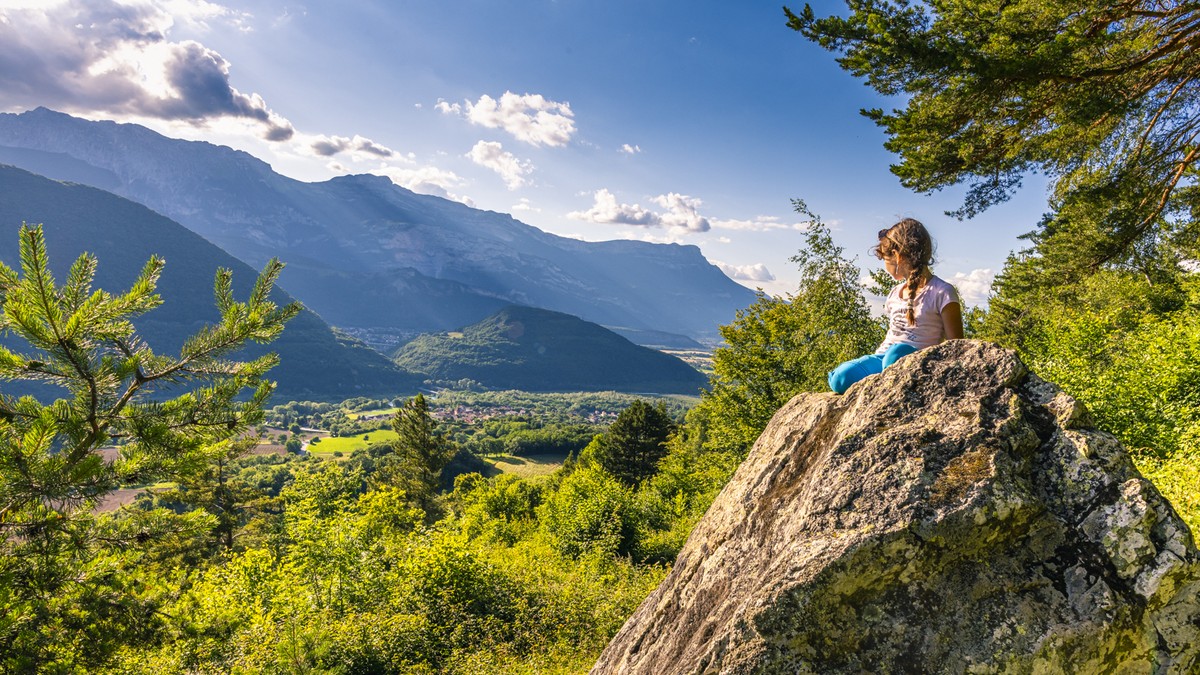
- The Sun Stone
- The Drac river
- The railway
Rates
Free of charge.
Opening periods
All year round.
Equipments and characteristics
- Pets allowed
Access
Access by public transport : Bus T92 - Stop : Les Guiberts
Parking : At the town hall (parking des Combettes : attention, market on Wednesday)
- Latitude: 45.038273
- longitude: 5.701362
Environnement
- In the country
- Riverside
- Village centre
- Forest location
Track characteristics
- Distance:
- 5 km
- Positive level difference:
- 300 m
- Daily duration:
- 2 h 20 min
- Level:
- Level bue - Medium, For beginners / novice
- Type:
- Loop
See also
-
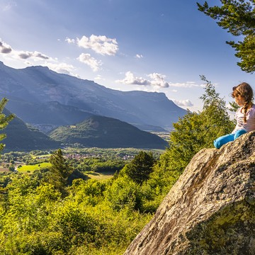
Table d'orientation de la Pierre du Soleil
View more

